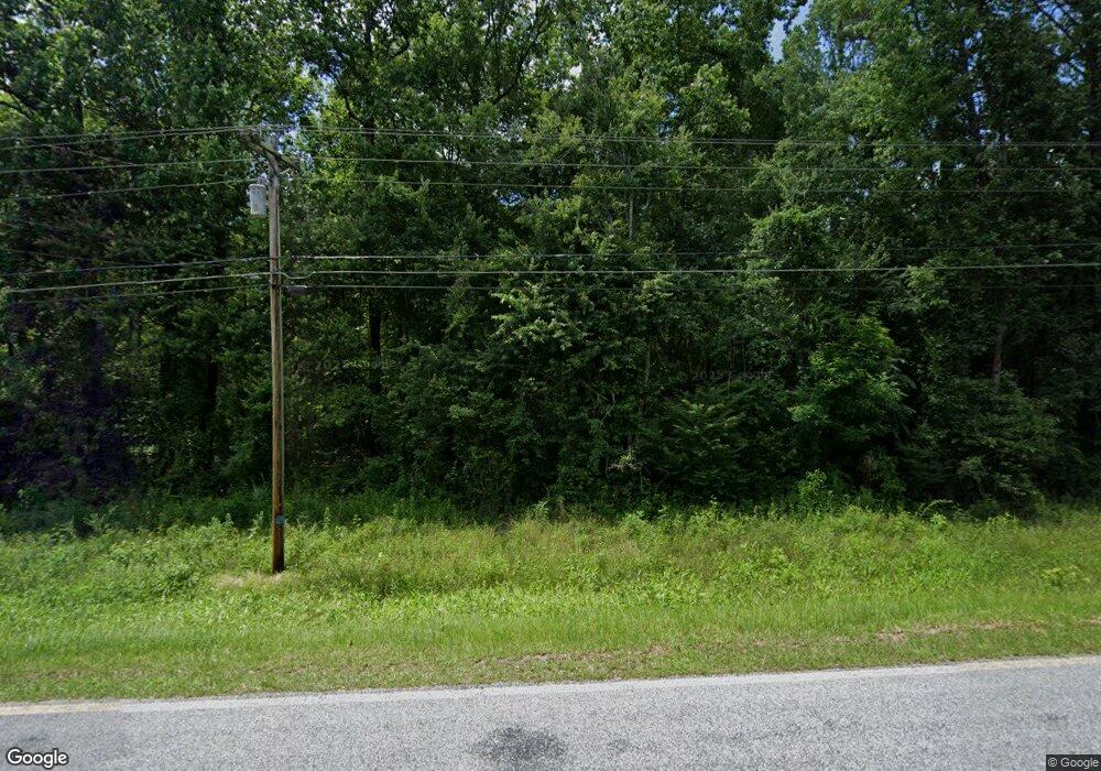
762 Red Land Rd Franklin, GA 30217
Estimated Value: $335,000 - $519,000
3
Beds
3
Baths
2,482
Sq Ft
$175/Sq Ft
Est. Value
About This Home
This home is located at 762 Red Land Rd, Franklin, GA 30217 and is currently estimated at $435,485, approximately $175 per square foot. 762 Red Land Rd is a home located in Heard County with nearby schools including Heard County High School.
Ownership History
Date
Name
Owned For
Owner Type
Purchase Details
Closed on
Mar 27, 2008
Sold by
Not Provided
Bought by
Miller John W
Current Estimated Value
Home Financials for this Owner
Home Financials are based on the most recent Mortgage that was taken out on this home.
Original Mortgage
$181,350
Outstanding Balance
$116,367
Interest Rate
6.22%
Mortgage Type
FHA
Estimated Equity
$319,118
Purchase Details
Closed on
May 27, 1994
Sold by
Miller J Wayne
Bought by
Carlisle Richard
Purchase Details
Closed on
Jan 1, 1901
Bought by
Miller J Wayne
Create a Home Valuation Report for This Property
The Home Valuation Report is an in-depth analysis detailing your home's value as well as a comparison with similar homes in the area
Home Values in the Area
Average Home Value in this Area
Purchase History
| Date | Buyer | Sale Price | Title Company |
|---|---|---|---|
| Miller John W | $188,000 | -- | |
| Carlisle Richard | $138,000 | -- | |
| Miller J Wayne | -- | -- |
Source: Public Records
Mortgage History
| Date | Status | Borrower | Loan Amount |
|---|---|---|---|
| Open | Miller John W | $181,350 |
Source: Public Records
Tax History Compared to Growth
Tax History
| Year | Tax Paid | Tax Assessment Tax Assessment Total Assessment is a certain percentage of the fair market value that is determined by local assessors to be the total taxable value of land and additions on the property. | Land | Improvement |
|---|---|---|---|---|
| 2024 | $25 | $147,886 | $37,973 | $109,913 |
| 2023 | $0 | $128,827 | $31,644 | $97,183 |
| 2022 | $2,425 | $107,166 | $13,967 | $93,199 |
| 2021 | $1,908 | $87,132 | $13,967 | $73,165 |
| 2020 | $1,908 | $84,282 | $13,967 | $70,315 |
| 2019 | $1,908 | $84,282 | $13,967 | $70,315 |
| 2018 | $1,963 | $86,727 | $16,412 | $70,315 |
| 2017 | $49 | $79,468 | $12,597 | $66,871 |
| 2016 | $129 | $79,468 | $12,597 | $66,871 |
| 2015 | -- | $66,427 | $21,684 | $44,744 |
| 2014 | -- | $66,484 | $21,684 | $44,801 |
| 2013 | -- | $74,824 | $21,683 | $53,140 |
Source: Public Records
Map
Nearby Homes
- The Lambert Plan at Patterson Park
- The Bradford Plan at Patterson Park
- The Millie Plan at Patterson Park
- The Coleman Plan at Patterson Park
- The Northern Hills Plan at Patterson Park
- The Nelson Plan at Patterson Park
- 11 River's Edge Ln Unit LOT 17
- 125 Patterson Dr
- 155 Patterson Dr
- 25 Patterson Dr
- 105 Patterson Dr
- 17 River's Edge Ln Unit LOT 14
- 0 Bevis Rd Parcel 5
- 0 Bevis Rd Parcel 4
- 23 Rivers Edge Ln Unit LOT 11
- 21 Rivers Edge Ln Unit LOT 12
- 22 Rivers Edge Ln Unit LOT 7
- 12 Rivers Edge Ln Unit LOT 2
- 24 Rivers Edge Ln Unit LOT 8
- 20 Rivers Edge Ln Unit LOT 6
- 390 Red Land Rd
- 691 Red Land Rd
- 882 Red Land Rd
- 434 Red Land Rd
- 994 Red Land Rd
- 556 Futral Dr
- 833 Red Land Rd
- 0 Brandenburg Rd Unit 8434643
- 00 Hwy 27
- 5451 Us Hwy 27
- 9 Acres Notnomis Rd
- 4 Acres Notnomis Rd
- 0 W Charlie B Johnson Unit 8216791
- 264 Deer Meadow Unit 2 TH
- 0 Bailey Rd Unit 8057687
- 0 Acres Straylott Rd Unit 110+/-ac 8139765
- 264 Deer Meadow
- Tract6 Highway 219
- Tract5 Highway 219
- Tract4 Highway 219
