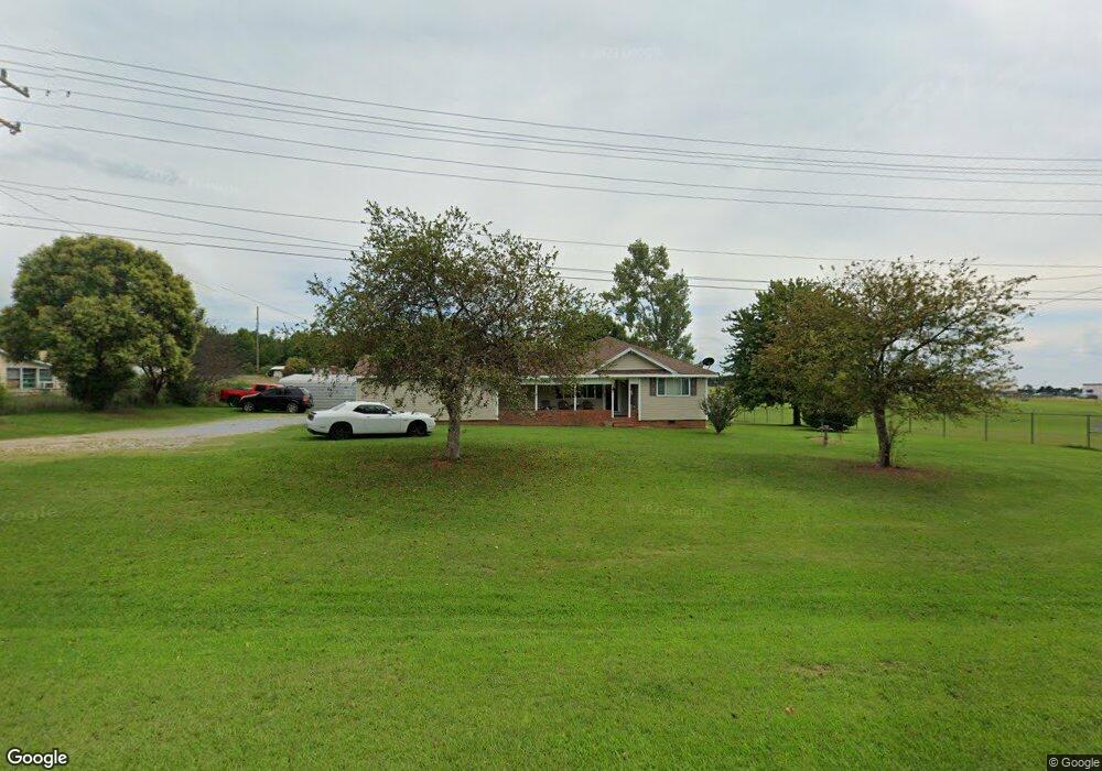
762 S Battleground Ave Unit R Grover, NC 28073
Estimated Value: $131,000 - $257,000
--
Bed
--
Bath
1,232
Sq Ft
$163/Sq Ft
Est. Value
About This Home
This home is located at 762 S Battleground Ave Unit R, Grover, NC 28073 and is currently estimated at $200,414, approximately $162 per square foot. 762 S Battleground Ave Unit R is a home located in Cleveland County with nearby schools including Grover Elementary School, Kings Mountain Middle, and Kings Mountain Intermediate School.
Ownership History
Date
Name
Owned For
Owner Type
Purchase Details
Closed on
Jun 25, 2025
Sold by
Davis Ricky F and Davis Stephanie L
Bought by
Davis Ricky F and Davis Stephanie L
Current Estimated Value
Home Financials for this Owner
Home Financials are based on the most recent Mortgage that was taken out on this home.
Original Mortgage
$137,362
Outstanding Balance
$137,012
Interest Rate
6.81%
Mortgage Type
FHA
Estimated Equity
$63,402
Purchase Details
Closed on
Jan 12, 2020
Sold by
Rice Patricia Philbeck
Bought by
Davis Amanda Danielle
Purchase Details
Closed on
Sep 4, 2019
Sold by
Philbeck Rice Patricia
Bought by
Davis Ricky F and Rice Patricia Phiulbeck
Create a Home Valuation Report for This Property
The Home Valuation Report is an in-depth analysis detailing your home's value as well as a comparison with similar homes in the area
Home Values in the Area
Average Home Value in this Area
Purchase History
| Date | Buyer | Sale Price | Title Company |
|---|---|---|---|
| Davis Ricky F | -- | None Listed On Document | |
| Davis Amanda Danielle | -- | None Available | |
| Davis Ricky F | -- | None Available |
Source: Public Records
Mortgage History
| Date | Status | Borrower | Loan Amount |
|---|---|---|---|
| Open | Davis Ricky F | $137,362 |
Source: Public Records
Tax History Compared to Growth
Tax History
| Year | Tax Paid | Tax Assessment Tax Assessment Total Assessment is a certain percentage of the fair market value that is determined by local assessors to be the total taxable value of land and additions on the property. | Land | Improvement |
|---|---|---|---|---|
| 2025 | $1,739 | $273,847 | $165,750 | $108,097 |
| 2024 | $949 | $109,299 | $74,248 | $35,051 |
| 2023 | $945 | $109,299 | $74,248 | $35,051 |
| 2022 | $945 | $109,299 | $74,248 | $35,051 |
| 2021 | $610 | $109,299 | $74,248 | $35,051 |
| 2020 | $465 | $76,541 | $47,873 | $28,668 |
| 2019 | $465 | $76,541 | $47,873 | $28,668 |
| 2018 | $463 | $76,541 | $47,873 | $28,668 |
| 2017 | $460 | $76,541 | $47,873 | $28,668 |
| 2016 | $439 | $76,541 | $47,873 | $28,668 |
| 2015 | $484 | $87,909 | $47,873 | $40,036 |
| 2014 | $634 | $72,407 | $47,873 | $24,534 |
Source: Public Records
Map
Nearby Homes
- 764 S Battleground Ave
- 210 Roy Bell Rd
- 101 Melvin Ct
- 111 Hicks Rd Unit 9
- 132 Hicks Rd Unit 1
- 105 Elm Rd
- 308 M H Camp Hwy
- 00 Bethlehem Church Rd
- 203 Bethlehem Church Rd
- 00 Mill Creek Rd
- 101 Park Ln
- 107 Arrowood Dr
- 130 Benton Rd
- 238 Lakeview Dr
- 811 Cleveland Ave
- 129 Lakeview Dr
- 303 Hardin Cir
- 235 Stewart Rd Unit 2
- 107 Tara Terrace
- 716 Mcdaniel Rd
- 764 N Battleground Ave
- 792 N Battleground Ave
- 108 Battleground Rd
- 772 S Battleground Ave
- 793 S Battleground Ave
- 1611 Longbranch Rd
- 3123 Long Branch Rd
- 102 Battleground Rd
- 791 S Battleground Ave
- 110 Battleground Rd
- 100 Battleground Rd
- 233 Roy Bell Rd
- 103 Battleground Rd
- 726 S Battleground Ave
- 115 Battleground Rd
- 106 Buren Dr
- 103 Pearl Ct
- 102 Pearl Ct
- 1583 Longbranch Rd
- 1839 S Battleground Ave