762 Swanson Ln Camano Island, WA 98282
Estimated Value: $569,000 - $702,000
2
Beds
1
Bath
912
Sq Ft
$710/Sq Ft
Est. Value
About This Home
This home is located at 762 Swanson Ln, Camano Island, WA 98282 and is currently estimated at $647,395, approximately $709 per square foot. 762 Swanson Ln is a home located in Island County with nearby schools including Utsalady Elementary School, Port Susan Middle School, and Stanwood High School.
Ownership History
Date
Name
Owned For
Owner Type
Purchase Details
Closed on
Mar 2, 2010
Sold by
Federal Home Loan Mortgage Corporation
Bought by
Madsen Scott E
Current Estimated Value
Home Financials for this Owner
Home Financials are based on the most recent Mortgage that was taken out on this home.
Original Mortgage
$186,558
Outstanding Balance
$123,585
Interest Rate
4.97%
Mortgage Type
FHA
Estimated Equity
$523,810
Purchase Details
Closed on
Jun 24, 2009
Sold by
Cartyle Bryan E
Bought by
Federal Home Loan Mortgage Corp
Purchase Details
Closed on
Jul 26, 2006
Sold by
Miller Jean C
Bought by
Carlyle Bryan E
Home Financials for this Owner
Home Financials are based on the most recent Mortgage that was taken out on this home.
Original Mortgage
$60,000
Interest Rate
6.69%
Mortgage Type
Unknown
Create a Home Valuation Report for This Property
The Home Valuation Report is an in-depth analysis detailing your home's value as well as a comparison with similar homes in the area
Home Values in the Area
Average Home Value in this Area
Purchase History
| Date | Buyer | Sale Price | Title Company |
|---|---|---|---|
| Madsen Scott E | -- | None Available | |
| Federal Home Loan Mortgage Corp | $247,715 | None Available | |
| Carlyle Bryan E | $299,000 | Chicago Title Co Island Div |
Source: Public Records
Mortgage History
| Date | Status | Borrower | Loan Amount |
|---|---|---|---|
| Open | Madsen Scott E | $186,558 | |
| Previous Owner | Carlyle Bryan E | $60,000 | |
| Previous Owner | Carlyle Bryan E | $239,000 |
Source: Public Records
Tax History Compared to Growth
Tax History
| Year | Tax Paid | Tax Assessment Tax Assessment Total Assessment is a certain percentage of the fair market value that is determined by local assessors to be the total taxable value of land and additions on the property. | Land | Improvement |
|---|---|---|---|---|
| 2024 | $4,321 | $578,097 | $340,000 | $238,097 |
| 2023 | $4,321 | $561,219 | $320,000 | $241,219 |
| 2022 | $3,256 | $433,873 | $300,000 | $133,873 |
| 2021 | $2,949 | $348,173 | $230,000 | $118,173 |
| 2020 | $2,957 | $305,384 | $190,000 | $115,384 |
| 2019 | $2,522 | $302,471 | $220,000 | $82,471 |
| 2018 | $2,466 | $257,769 | $175,000 | $82,769 |
| 2017 | $2,122 | $233,366 | $150,000 | $83,366 |
| 2016 | $1,848 | $222,621 | $150,000 | $72,621 |
| 2015 | $1,900 | $185,647 | $112,000 | $73,647 |
| 2013 | -- | $187,699 | $112,000 | $75,699 |
Source: Public Records
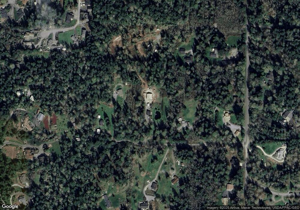
Map
Nearby Homes
- 628 N Sunset Dr
- 435 NW Camano Dr
- 900 N Sunset Dr
- 1021 N Sunset Dr
- 897 James Way
- 938 NW Camano Dr
- 435 Thumper Ln
- 688 Gladstone Dr
- 345 Seaview Ct
- 931 Karen Ann Dr
- 350 N Sunset Dr
- 325 Melissa St
- 329 Burke Dr
- 1042 Shorecrest Place
- 275 Maple St
- 276 Melissa St
- 746 Maple Grove Rd
- 1048 Malvern Hills Dr
- 209 Burke Dr
- 212 Grandview Ave
- 784 Swanson Ln
- 740 Swanson Ln
- 785 650th N
- 792 Swanson Ln
- 721 NW Camano Dr
- 745 Swanson Ln
- 721 N West Camano Dr
- 657 N West Camano Dr
- 685 S West Camano Dr
- 691 N West Camano Dr
- 705 NW Camano Dr
- 751 Swanson Ln
- 643 N West Camano Dr
- 820 Holbeck Dr
- 785 Swanson Ln
- 705N N West Camano Dr
- 816 Holbeck Dr
- 830 W Holbeck Dr
- 828 Holbeck Dr
- 621 N West Camano Dr