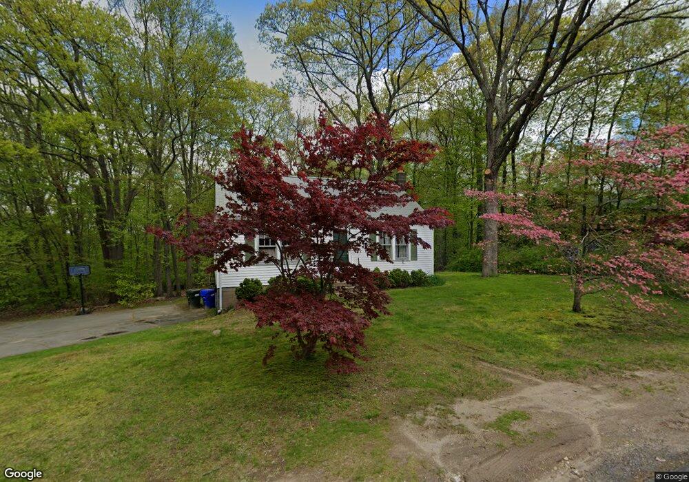
762 Walnut Hill Rd Thomaston, CT 06787
Estimated Value: $315,077 - $487,000
4
Beds
2
Baths
1,400
Sq Ft
$267/Sq Ft
Est. Value
About This Home
This home is located at 762 Walnut Hill Rd, Thomaston, CT 06787 and is currently estimated at $374,269, approximately $267 per square foot. 762 Walnut Hill Rd is a home located in Litchfield County with nearby schools including Black Rock School, Thomaston Center School, and Thomaston High School.
Ownership History
Date
Name
Owned For
Owner Type
Purchase Details
Closed on
May 2, 2013
Sold by
Scougall Valerie J
Bought by
Scougall David S
Current Estimated Value
Home Financials for this Owner
Home Financials are based on the most recent Mortgage that was taken out on this home.
Original Mortgage
$152,016
Outstanding Balance
$71,306
Interest Rate
3.57%
Estimated Equity
$302,963
Purchase Details
Closed on
Nov 16, 1995
Sold by
Hughes James and Hughes Louise
Bought by
Scougall David and Scougall Valerie
Home Financials for this Owner
Home Financials are based on the most recent Mortgage that was taken out on this home.
Original Mortgage
$101,738
Interest Rate
7.53%
Mortgage Type
Unknown
Purchase Details
Closed on
Apr 1, 1993
Sold by
Kean Ruth E and Griffin Richard E
Bought by
Hughes James and Hughes Louise
Create a Home Valuation Report for This Property
The Home Valuation Report is an in-depth analysis detailing your home's value as well as a comparison with similar homes in the area
Home Values in the Area
Average Home Value in this Area
Purchase History
| Date | Buyer | Sale Price | Title Company |
|---|---|---|---|
| Scougall David S | -- | -- | |
| Scougall David | $102,000 | -- | |
| Hughes James | $100,000 | -- |
Source: Public Records
Mortgage History
| Date | Status | Borrower | Loan Amount |
|---|---|---|---|
| Open | Hughes James | $152,016 | |
| Previous Owner | Hughes James | $130,500 | |
| Previous Owner | Hughes James | $102,556 | |
| Previous Owner | Hughes James | $101,738 |
Source: Public Records
Tax History Compared to Growth
Tax History
| Year | Tax Paid | Tax Assessment Tax Assessment Total Assessment is a certain percentage of the fair market value that is determined by local assessors to be the total taxable value of land and additions on the property. | Land | Improvement |
|---|---|---|---|---|
| 2025 | $4,805 | $134,190 | $58,240 | $75,950 |
| 2024 | $4,611 | $134,190 | $58,240 | $75,950 |
| 2023 | $4,513 | $134,190 | $58,240 | $75,950 |
| 2022 | $4,309 | $134,190 | $58,240 | $75,950 |
| 2021 | $3,781 | $104,650 | $52,920 | $51,730 |
| 2020 | $3,781 | $104,650 | $52,920 | $51,730 |
| 2019 | $3,823 | $104,650 | $52,920 | $51,730 |
| 2018 | $3,745 | $104,650 | $52,920 | $51,730 |
| 2017 | $3,668 | $104,650 | $52,920 | $51,730 |
| 2016 | $3,644 | $106,960 | $52,920 | $54,040 |
| 2015 | $3,597 | $106,960 | $52,920 | $54,040 |
| 2014 | $3,597 | $106,960 | $52,920 | $54,040 |
Source: Public Records
Map
Nearby Homes
- 34 Old Northfield Rd
- 718 Northfield Rd
- 397 Walnut Hill Rd
- 31 Main St
- 94 Atwood Heights
- 26 Julia Ln
- 496 Northfield Rd
- 245 Babbitt Rd
- 297 Babbitt Rd
- 119 Humiston Cir
- 174 Litchfield St
- 17 George St
- 42 Litchfield St
- 120 Hotchkiss Ave
- 16 Tracy St
- 49 Center St
- 104 Judson St
- 22 Park St
- 165 Campville Rd
- 96 Elm St
- 776 Walnut Hill Rd
- 750 Walnut Hill Rd
- 763 Walnut Hill Rd
- 765 Walnut Hill Rd
- 749 Walnut Hill Rd
- 784 Walnut Hill Rd
- 1200 Old Northfield Rd
- 1190 Old Northfield Rd
- 1220 Old Northfield Rd
- 739 Walnut Hill Rd
- 734 Walnut Hill Rd
- 1178 Old Northfield Rd
- 1170 Old Northfield Rd
- 804 Walnut Hill Rd
- 1164 Old Northfield Rd
- 716 Walnut Hill Rd
- 46 Kennedy Dr
- 1219 Old Northfield Rd
- 1193 Old Northfield Rd