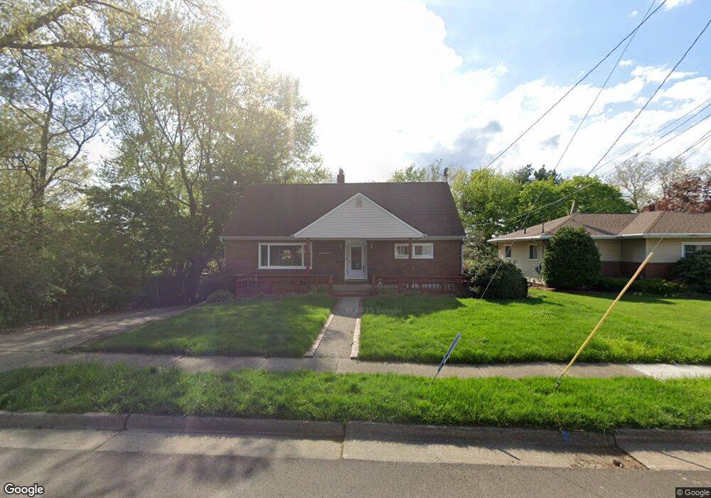
762 Woodstock Rd Akron, OH 44312
Ellet NeighborhoodEstimated Value: $196,000 - $289,000
4
Beds
2
Baths
1,260
Sq Ft
$193/Sq Ft
Est. Value
About This Home
This home is located at 762 Woodstock Rd, Akron, OH 44312 and is currently estimated at $243,026, approximately $192 per square foot. 762 Woodstock Rd is a home located in Summit County with nearby schools including Ellet High School, Summit Academy Akron Elementary School, and Eagle Elementary.
Ownership History
Date
Name
Owned For
Owner Type
Purchase Details
Closed on
Jun 2, 2011
Sold by
Mcdermott Lisa E
Bought by
Mcdermott Peter M
Current Estimated Value
Purchase Details
Closed on
Apr 28, 2000
Sold by
Kintz Edward
Bought by
Mcdermott Peter M and Mcdermott Lisa E
Home Financials for this Owner
Home Financials are based on the most recent Mortgage that was taken out on this home.
Original Mortgage
$118,800
Outstanding Balance
$41,397
Interest Rate
8.26%
Estimated Equity
$201,629
Create a Home Valuation Report for This Property
The Home Valuation Report is an in-depth analysis detailing your home's value as well as a comparison with similar homes in the area
Home Values in the Area
Average Home Value in this Area
Purchase History
| Date | Buyer | Sale Price | Title Company |
|---|---|---|---|
| Mcdermott Peter M | -- | Attorney | |
| Mcdermott Peter M | $132,000 | Guardian Title |
Source: Public Records
Mortgage History
| Date | Status | Borrower | Loan Amount |
|---|---|---|---|
| Open | Mcdermott Peter M | $118,800 |
Source: Public Records
Tax History Compared to Growth
Tax History
| Year | Tax Paid | Tax Assessment Tax Assessment Total Assessment is a certain percentage of the fair market value that is determined by local assessors to be the total taxable value of land and additions on the property. | Land | Improvement |
|---|---|---|---|---|
| 2025 | $3,559 | $67,239 | $12,908 | $54,331 |
| 2024 | $3,559 | $67,239 | $12,908 | $54,331 |
| 2023 | $3,559 | $67,239 | $12,908 | $54,331 |
| 2022 | $3,201 | $47,352 | $9,090 | $38,262 |
| 2021 | $3,204 | $47,352 | $9,090 | $38,262 |
| 2020 | $3,156 | $47,350 | $9,090 | $38,260 |
| 2019 | $3,228 | $44,040 | $9,090 | $34,950 |
| 2018 | $3,185 | $44,040 | $9,090 | $34,950 |
| 2017 | $3,235 | $44,040 | $9,090 | $34,950 |
| 2016 | $3,238 | $44,040 | $9,090 | $34,950 |
| 2015 | $3,235 | $44,040 | $9,090 | $34,950 |
| 2014 | $3,209 | $44,040 | $9,090 | $34,950 |
| 2013 | $3,017 | $42,200 | $9,090 | $33,110 |
Source: Public Records
Map
Nearby Homes
- 2127 Quayle Dr
- 586 Ingalls Rd
- 880 Utica Ave
- 586 Hillman Rd
- 640 Plainfield Rd
- 805 Utica Ave
- 2077 Coleman Ave
- 2155 Abbey Rd
- 2305 E Waterloo Rd
- 452 Herbert Rd
- 604 Gibbs Rd Unit 606
- 2465 Ogden Ave
- 2146 Daniels Ave
- 1054 Crestline Dr
- 2239 Springfield Center Rd
- 1629 Wildon Ave
- 905 1/2 Shadybrook Dr
- 0 Essex St
- 2670 Albrecht Ave
- 274 Fulmer Ave
- 754 Woodstock Rd
- 2127 Field Circle Ave
- 2135 Field Circle Ave
- 2119 Field Circle Ave
- 748 Woodstock Rd
- 2143 Field Circle Ave
- 757 Woodstock Rd
- 2111 Field Circle Ave
- 751 Woodstock Rd
- 2151 Field Circle Ave
- 747 Woodstock Rd
- 2103 Field Circle Ave
- 2134 Triplett Blvd
- 2110 Triplett Blvd
- 2146 Triplett Blvd
- 2159 Field Circle Ave
- 782 Bridge Rd
- 2128 Field Circle Ave
- 2136 Field Circle Ave
- 2120 Field Circle Ave