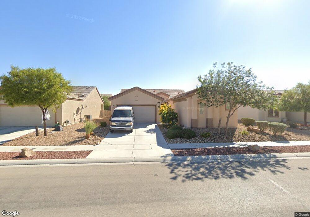
7620 Broadwing Dr Unit 4 North Las Vegas, NV 89084
Aliante NeighborhoodEstimated Value: $397,930 - $439,000
2
Beds
2
Baths
1,570
Sq Ft
$268/Sq Ft
Est. Value
About This Home
This home is located at 7620 Broadwing Dr Unit 4, North Las Vegas, NV 89084 and is currently estimated at $421,233, approximately $268 per square foot. 7620 Broadwing Dr Unit 4 is a home located in Clark County with nearby schools including Vincent L. Triggs Elementary School, Anthony Saville Middle School, and Shadow Ridge High School.
Ownership History
Date
Name
Owned For
Owner Type
Purchase Details
Closed on
Apr 14, 2005
Sold by
Robinson Wanda
Bought by
Wanda Robinson Trust
Current Estimated Value
Purchase Details
Closed on
Apr 9, 2004
Sold by
Pn Ii Inc
Bought by
Robinson Marvin O and Robinson Wanda
Home Financials for this Owner
Home Financials are based on the most recent Mortgage that was taken out on this home.
Original Mortgage
$271,827
Outstanding Balance
$127,025
Interest Rate
5.56%
Mortgage Type
VA
Estimated Equity
$294,208
Create a Home Valuation Report for This Property
The Home Valuation Report is an in-depth analysis detailing your home's value as well as a comparison with similar homes in the area
Home Values in the Area
Average Home Value in this Area
Purchase History
| Date | Buyer | Sale Price | Title Company |
|---|---|---|---|
| Wanda Robinson Trust | -- | -- | |
| Robinson Marvin O | $282,436 | Lawyers Title Of Nevada |
Source: Public Records
Mortgage History
| Date | Status | Borrower | Loan Amount |
|---|---|---|---|
| Open | Robinson Marvin O | $271,827 |
Source: Public Records
Tax History Compared to Growth
Tax History
| Year | Tax Paid | Tax Assessment Tax Assessment Total Assessment is a certain percentage of the fair market value that is determined by local assessors to be the total taxable value of land and additions on the property. | Land | Improvement |
|---|---|---|---|---|
| 2025 | $1,166 | $108,692 | $29,400 | $79,292 |
| 2024 | $2,252 | $108,692 | $29,400 | $79,292 |
| 2023 | $2,252 | $106,684 | $31,605 | $75,079 |
| 2022 | $2,187 | $96,080 | $27,195 | $68,885 |
| 2021 | $2,123 | $89,616 | $24,255 | $65,361 |
| 2020 | $2,055 | $88,120 | $23,520 | $64,600 |
| 2019 | $1,995 | $84,950 | $21,315 | $63,635 |
| 2018 | $1,937 | $78,188 | $16,905 | $61,283 |
| 2017 | $2,601 | $76,682 | $15,400 | $61,282 |
| 2016 | $1,835 | $74,710 | $13,475 | $61,235 |
| 2015 | $1,831 | $60,262 | $10,780 | $49,482 |
| 2014 | $1,773 | $50,478 | $7,700 | $42,778 |
Source: Public Records
Map
Nearby Homes
- 7649 Broadwing Dr
- 3305 Flyway Ct
- 7633 Lily Trotter St
- 3705 Nesting Wren Dr
- 7616 Quail Dust St
- 7713 Lily Trotter St
- 3109 Frigate Way
- 3726 Snow Fawn Ave
- 7416 Redhead Dr
- 7617 Fieldfare Dr
- 3821 Nesting Wren Dr
- 3220 Flinthead Dr
- 7741 Fruit Dove St Unit 4
- 3805 Avian Ct
- 7381 Summer Duck Way
- 7839 Lyrebird Dr
- 3312 Lapwing Dr
- 7332 Redhead Dr
- 7316 Bugler Swan Way
- 7312 Pinfeather Way
- 7624 Broadwing Dr
- 7616 Broadwing Dr
- 3508 Flinthead Dr Unit 4
- 3512 Flinthead Dr
- 7628 Broadwing Dr
- 3504 Flinthead Dr
- 7612 Broadwing Dr Unit 4
- 3516 Flinthead Dr
- 3468 Flinthead Dr Unit 4
- 3520 Flinthead Dr
- 7617 Broadwing Dr
- 3464 Flinthead Dr
- 7621 Broadwing Dr
- 7632 Broadwing Dr
- 7608 Broadwing Dr Unit 4
- 3524 Flinthead Dr
- 7609 Broadwing Dr
- 3460 Flinthead Dr
- 7625 Broadwing Dr
- 3336 Fire Eye Way