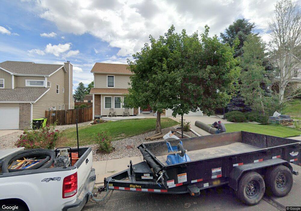
7620 Montane Dr Colorado Springs, CO 80920
Briargate NeighborhoodEstimated Value: $522,001 - $548,000
4
Beds
4
Baths
2,186
Sq Ft
$246/Sq Ft
Est. Value
About This Home
This home is located at 7620 Montane Dr, Colorado Springs, CO 80920 and is currently estimated at $537,500, approximately $245 per square foot. 7620 Montane Dr is a home located in El Paso County with nearby schools including Frontier Elementary School, Timberview Middle School, and Liberty High School.
Ownership History
Date
Name
Owned For
Owner Type
Purchase Details
Closed on
Feb 26, 2019
Sold by
Losey Richard R and Losey Marie A
Bought by
Losey Richard R and Losey Marie A
Current Estimated Value
Purchase Details
Closed on
Dec 19, 1989
Bought by
Losey Richard R and Losey Marie A
Purchase Details
Closed on
Sep 8, 1986
Bought by
Losey Richard R and Losey Marie A
Purchase Details
Closed on
Jul 1, 1986
Bought by
Losey Richard R and Losey Marie A
Create a Home Valuation Report for This Property
The Home Valuation Report is an in-depth analysis detailing your home's value as well as a comparison with similar homes in the area
Home Values in the Area
Average Home Value in this Area
Purchase History
| Date | Buyer | Sale Price | Title Company |
|---|---|---|---|
| Losey Richard R | -- | None Available | |
| Losey Richard R | $131,900 | -- | |
| Losey Richard R | -- | -- | |
| Losey Richard R | -- | -- |
Source: Public Records
Tax History Compared to Growth
Tax History
| Year | Tax Paid | Tax Assessment Tax Assessment Total Assessment is a certain percentage of the fair market value that is determined by local assessors to be the total taxable value of land and additions on the property. | Land | Improvement |
|---|---|---|---|---|
| 2025 | $2,221 | $36,820 | -- | -- |
| 2024 | $1,738 | $38,330 | $5,360 | $32,970 |
| 2023 | $1,738 | $38,330 | $5,360 | $32,970 |
| 2022 | $1,296 | $25,320 | $4,340 | $20,980 |
| 2021 | $1,433 | $26,040 | $4,460 | $21,580 |
| 2020 | $1,422 | $24,620 | $3,720 | $20,900 |
| 2019 | $1,984 | $24,620 | $3,720 | $20,900 |
| 2018 | $1,588 | $19,380 | $2,880 | $16,500 |
| 2017 | $1,582 | $19,380 | $2,880 | $16,500 |
| 2016 | $1,632 | $19,970 | $2,930 | $17,040 |
| 2015 | $1,629 | $19,970 | $2,930 | $17,040 |
| 2014 | $1,428 | $18,490 | $2,930 | $15,560 |
Source: Public Records
Map
Nearby Homes
- 3906 Smoke Tree Dr
- 3920 Smoke Tree Dr
- 3755 Brisbane Dr
- 3915 Smoke Tree Dr
- 3909 Smoke Tree Dr
- 7866 Brandy Cir
- 4035 Scotch Pine Dr
- 3755 Misty Meadows Dr
- 3895 Beltana Dr
- 3845 Beltana Dr
- 4955 Ramblewood Dr
- 3850 Beltana Dr
- 3460 Fair Dawn Dr
- 4080 Scotch Pine Dr
- 3510 Sydney Terrace
- 4255 Scotch Pine Dr
- 3455 Sun River Place
- 7612 Clover Hill Dr
- 8261 Cooper River Dr
- 8145 Freemantle Dr
- 7630 Montane Dr
- 7645 Conifer Dr
- 7655 Conifer Dr
- 7640 Montane Dr
- 3815 Plains Terrace
- 7615 Montane Dr
- 7625 Montane Dr
- 3825 Plains Terrace
- 7635 Montane Dr
- 7660 Conifer Dr
- 7615 Conifer Dr
- 7670 Conifer Dr
- 7650 Conifer Dr
- 7645 Montane Dr
- 7640 Conifer Dr
- 7680 Conifer Dr
- 3835 Plains Terrace
- 7630 Conifer Dr
- 7660 Montane Dr
- 7655 Montane Dr