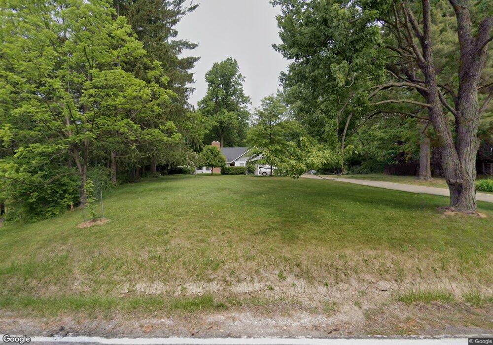
7620 S Eastland Rd Middleburg Heights, OH 44130
Estimated Value: $248,000 - $280,000
4
Beds
2
Baths
1,690
Sq Ft
$152/Sq Ft
Est. Value
About This Home
This home is located at 7620 S Eastland Rd, Middleburg Heights, OH 44130 and is currently estimated at $256,825, approximately $151 per square foot. 7620 S Eastland Rd is a home with nearby schools including Grindstone Elementary School, Berea-Midpark Middle School, and Berea-Midpark High School.
Ownership History
Date
Name
Owned For
Owner Type
Purchase Details
Closed on
Sep 29, 1992
Sold by
Dunn Virginia P
Bought by
Hollender Stephen J
Current Estimated Value
Purchase Details
Closed on
Jun 12, 1991
Sold by
Dunn Virginia P
Bought by
Dunn Virginia P
Purchase Details
Closed on
Oct 6, 1989
Sold by
Dunn Virginia P
Bought by
Dunn Virginia P
Purchase Details
Closed on
Sep 21, 1989
Sold by
Dunn Ethel J
Bought by
Dunn Virginia P
Purchase Details
Closed on
Sep 9, 1988
Sold by
Dunn Ehtel J
Bought by
Dunn Ethel J
Purchase Details
Closed on
Jun 9, 1988
Sold by
Dunn Ethel J
Bought by
Dunn Ehtel J
Purchase Details
Closed on
May 2, 1985
Sold by
Dunn George W and Dunn Ethel J
Bought by
Dunn Ethel J
Purchase Details
Closed on
Jan 1, 1975
Bought by
Dunn George W and Dunn Ethel J
Create a Home Valuation Report for This Property
The Home Valuation Report is an in-depth analysis detailing your home's value as well as a comparison with similar homes in the area
Home Values in the Area
Average Home Value in this Area
Purchase History
| Date | Buyer | Sale Price | Title Company |
|---|---|---|---|
| Hollender Stephen J | $97,500 | -- | |
| Dunn Virginia P | -- | -- | |
| Dunn Virginia P | $42,500 | -- | |
| Dunn Virginia P | -- | -- | |
| Dunn Ethel J | -- | -- | |
| Dunn Ehtel J | -- | -- | |
| Dunn Ethel J | -- | -- | |
| Dunn George W | -- | -- |
Source: Public Records
Tax History Compared to Growth
Tax History
| Year | Tax Paid | Tax Assessment Tax Assessment Total Assessment is a certain percentage of the fair market value that is determined by local assessors to be the total taxable value of land and additions on the property. | Land | Improvement |
|---|---|---|---|---|
| 2024 | $3,605 | $69,265 | $22,365 | $46,900 |
| 2023 | $3,691 | $58,530 | $21,530 | $37,000 |
| 2022 | $3,666 | $58,520 | $21,525 | $36,995 |
| 2021 | $3,646 | $58,520 | $21,530 | $37,000 |
| 2020 | $3,571 | $50,440 | $18,550 | $31,890 |
| 2019 | $3,468 | $144,100 | $53,000 | $91,100 |
| 2018 | $3,281 | $50,440 | $18,550 | $31,890 |
| 2017 | $3,390 | $45,710 | $15,540 | $30,170 |
| 2016 | $3,331 | $45,710 | $15,540 | $30,170 |
| 2015 | $6,705 | $45,710 | $15,540 | $30,170 |
| 2014 | $6,705 | $45,710 | $15,540 | $30,170 |
Source: Public Records
Map
Nearby Homes
- 19419 Fowles Rd
- 147 Adams St
- 159 Eastland Rd
- 41 Riverside Dr
- 8080 Oxford Dr
- 47 Prospect St
- 0 E Bagley Rd Unit 5111166
- 7400 Engle Rd
- 74 Aaron St
- 7344 Engle Rd
- 190 Lee Rd
- 325 Robin Dr
- 154 Best St
- 148 Meadow Cir
- 217 Kraft St
- 135 W Bagley Rd
- 202 4th Ave
- 18156 Broxton Dr
- 200 Wyleswood Dr
- 18203 Broxton Dr
- 7630 S Eastland Rd
- 7640 S Eastland Rd
- 7615 S Eastland Rd
- 320 Fowles Rd
- 306 Fowles Rd
- 310 Fowles Rd
- 316 Fowles Rd
- 7607 S Eastland Rd
- 300 Fowles Rd
- 296 Fowles Rd
- 7639 S Eastland Rd
- 292 Fowles Rd
- 286 Fowles Rd
- 19695 Fowles Rd
- 282 Fowles Rd
- 19675 Fowles Rd
- 278 Fowles Rd
- 274 Fowles Rd
- 317 Fowles Rd
- 313 Fowles Rd