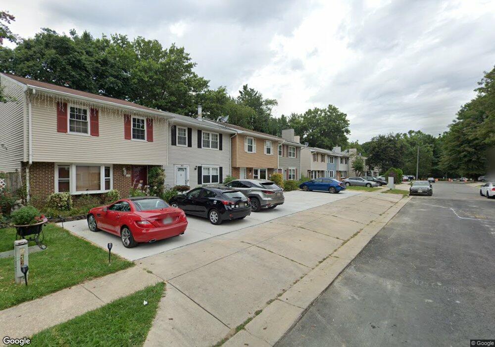
7621 Haines Ct Laurel, MD 20707
Estimated Value: $359,773 - $392,000
3
Beds
3
Baths
1,364
Sq Ft
$277/Sq Ft
Est. Value
About This Home
This home is located at 7621 Haines Ct, Laurel, MD 20707 and is currently estimated at $377,443, approximately $276 per square foot. 7621 Haines Ct is a home located in Prince George's County with nearby schools including Scotchtown Hills Elementary School, Laurel High School, and Chesapeake Math and IT Elementary Public Charter.
Ownership History
Date
Name
Owned For
Owner Type
Purchase Details
Closed on
Apr 30, 2010
Sold by
Burke Jerome F and Hayw Penny F
Bought by
Milner Andrew C and Milner Janell C
Current Estimated Value
Home Financials for this Owner
Home Financials are based on the most recent Mortgage that was taken out on this home.
Original Mortgage
$224,627
Outstanding Balance
$149,831
Interest Rate
5.03%
Mortgage Type
VA
Estimated Equity
$227,612
Purchase Details
Closed on
Jul 10, 1992
Sold by
Flood Daniel
Bought by
Burke Jerome F and Hayw Penny F
Create a Home Valuation Report for This Property
The Home Valuation Report is an in-depth analysis detailing your home's value as well as a comparison with similar homes in the area
Home Values in the Area
Average Home Value in this Area
Purchase History
| Date | Buyer | Sale Price | Title Company |
|---|---|---|---|
| Milner Andrew C | $219,900 | -- | |
| Burke Jerome F | $114,500 | -- |
Source: Public Records
Mortgage History
| Date | Status | Borrower | Loan Amount |
|---|---|---|---|
| Open | Milner Andrew C | $224,627 |
Source: Public Records
Tax History Compared to Growth
Tax History
| Year | Tax Paid | Tax Assessment Tax Assessment Total Assessment is a certain percentage of the fair market value that is determined by local assessors to be the total taxable value of land and additions on the property. | Land | Improvement |
|---|---|---|---|---|
| 2025 | $5,233 | $297,800 | $90,000 | $207,800 |
| 2024 | $5,233 | $281,000 | $0 | $0 |
| 2023 | $4,895 | $264,200 | $0 | $0 |
| 2022 | $4,546 | $247,400 | $75,000 | $172,400 |
| 2021 | $4,197 | $229,567 | $0 | $0 |
| 2020 | $7,884 | $211,733 | $0 | $0 |
| 2019 | $3,560 | $193,900 | $75,000 | $118,900 |
| 2018 | $3,508 | $190,800 | $0 | $0 |
| 2017 | $9,055 | $187,700 | $0 | $0 |
| 2016 | -- | $184,600 | $0 | $0 |
| 2015 | $3,571 | $184,600 | $0 | $0 |
| 2014 | $3,571 | $184,600 | $0 | $0 |
Source: Public Records
Map
Nearby Homes
- 7619 Woodbine Dr
- 7616 Woodbine Dr
- 7323 Split Rail Ln
- 7709 Brooklyn Bridge Rd
- 15603 Dorset Rd Unit 101
- 15708 Dorset Rd Unit 203
- 15708 Dorset Rd Unit 304
- 7105 Split Rail Ln
- 15712 Dorset Rd Unit T3
- 7419 Berryleaf Dr
- 15443 Arbory Way
- 7403 Berryleaf Dr
- 1210 Westview Terrace
- 16140 Kenny Rd
- 1106 Snowden Place
- 7651 E Arbory Ct
- 7681 E Arbory Ct
- 211 Patuxent Rd
- 7019 Fitzpatrick Dr
- 7631 S Arbory Ln
- 7623 Haines Ct
- 7619 Haines Ct
- 7625 Haines Ct
- 7617 Haines Ct
- 7615 Haines Ct
- 7627 Haines Ct
- 15811 Millbrook Ln
- 15813 Millbrook Ln
- 15809 Millbrook Ln
- 15807 Millbrook Ln
- 7620 Haines Ct
- 7611 Haines Ct
- 7622 Haines Ct
- 7618 Haines Ct
- 15805 Millbrook Ln
- 7624 Haines Ct
- 7616 Haines Ct
- 7614 Haines Ct
- 7626 Haines Ct
- 15803 Millbrook Ln