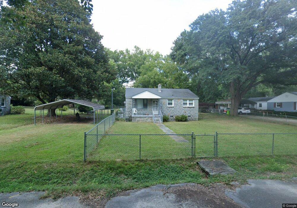
7621 Shiran St Columbia, SC 29209
Southeast Columbia NeighborhoodEstimated Value: $121,000 - $147,000
3
Beds
1
Bath
945
Sq Ft
$138/Sq Ft
Est. Value
About This Home
This home is located at 7621 Shiran St, Columbia, SC 29209 and is currently estimated at $130,684, approximately $138 per square foot. 7621 Shiran St is a home located in Richland County with nearby schools including Mill Creek Elementary School, Hopkins Middle School, and Lower Richland High School.
Ownership History
Date
Name
Owned For
Owner Type
Purchase Details
Closed on
Oct 14, 2022
Sold by
Morgan Deborah M
Bought by
Kelly Linda D
Current Estimated Value
Purchase Details
Closed on
Sep 5, 2003
Sold by
Kelly Charles Edward
Bought by
Kelly Patsy Lee
Purchase Details
Closed on
Sep 3, 2003
Sold by
Starnes Jeanette Kelly Humphries
Bought by
Kelly Patsy Lee
Purchase Details
Closed on
Aug 29, 2003
Sold by
Kelly Lewis Leroy
Bought by
Kelly Patsy Lee
Purchase Details
Closed on
Aug 28, 2003
Sold by
Hanna Barbara K
Bought by
Kelly Patsy Lee
Create a Home Valuation Report for This Property
The Home Valuation Report is an in-depth analysis detailing your home's value as well as a comparison with similar homes in the area
Home Values in the Area
Average Home Value in this Area
Purchase History
| Date | Buyer | Sale Price | Title Company |
|---|---|---|---|
| Kelly Linda D | -- | -- | |
| Kelly Patsy Lee | -- | -- | |
| Kelly Patsy Lee | -- | -- | |
| Kelly Patsy Lee | -- | -- | |
| Kelly Patsy Lee | -- | -- | |
| Kelly Patsy Lee | -- | -- | |
| Kelly Patsy Lee | -- | -- |
Source: Public Records
Tax History Compared to Growth
Tax History
| Year | Tax Paid | Tax Assessment Tax Assessment Total Assessment is a certain percentage of the fair market value that is determined by local assessors to be the total taxable value of land and additions on the property. | Land | Improvement |
|---|---|---|---|---|
| 2024 | $756 | $108,700 | $0 | $0 |
| 2023 | $756 | $1,904 | $0 | $0 |
| 2022 | $663 | $47,600 | $7,300 | $40,300 |
| 2021 | $324 | $1,900 | $0 | $0 |
| 2020 | $324 | $1,900 | $0 | $0 |
| 2019 | $286 | $1,900 | $0 | $0 |
| 2018 | $249 | $1,660 | $0 | $0 |
| 2017 | $249 | $1,660 | $0 | $0 |
| 2016 | $249 | $1,660 | $0 | $0 |
| 2015 | $249 | $1,660 | $0 | $0 |
| 2014 | $249 | $41,400 | $0 | $0 |
| 2013 | -- | $1,660 | $0 | $0 |
Source: Public Records
Map
Nearby Homes
- 168 Ashewood Commons Dr
- 1527 Burnside Ave
- 349 Eastfair Dr
- 909 Eastmont Dr
- 113 Colonial Commons Ln
- 115 Colonial Commons Ln
- 101 Colonial Commons Ln
- 842 Eastmont Dr
- 8025 Skylark Dr
- 267 Blue Savannah St
- 263 Blue Savannah St
- 106 Colonial Commons Ln
- 155 Colonial Commons Ln
- 26 Vendue Ct
- 2 Routhland Ct
- 175 Nestle Ct
- 2006 Orchard Oak Trail
- Sequoia Plan at Cameron Ridge - 2-Story
- Fairview Plan at Cameron Ridge - 2-Story
- Hazel Plan at Cameron Ridge - 2-Story