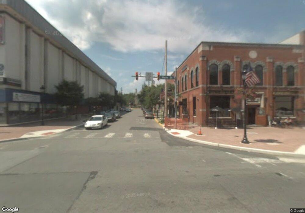
7621D Rr 14 Stroudsburg, PA 18360
Estimated Value: $358,050 - $432,000
4
Beds
2
Baths
1,288
Sq Ft
$312/Sq Ft
Est. Value
About This Home
This home is located at 7621D Rr 14, Stroudsburg, PA 18360 and is currently estimated at $401,263, approximately $311 per square foot. 7621D Rr 14 is a home located in Monroe County with nearby schools including Stroudsburg Junior High School, Stroudsburg High School, and Stroudsburg Seventh-day Adventist School.
Ownership History
Date
Name
Owned For
Owner Type
Purchase Details
Closed on
May 9, 2018
Sold by
Niles Cosntruction Llc
Bought by
Catalano Francesco and Catalano Grace
Current Estimated Value
Home Financials for this Owner
Home Financials are based on the most recent Mortgage that was taken out on this home.
Original Mortgage
$100,000
Outstanding Balance
$86,103
Interest Rate
4.4%
Mortgage Type
New Conventional
Estimated Equity
$315,160
Purchase Details
Closed on
Nov 15, 2017
Sold by
Connolly Father John T and Dzierzawic Kahtleen M
Bought by
Niles Construction Llc
Home Financials for this Owner
Home Financials are based on the most recent Mortgage that was taken out on this home.
Original Mortgage
$138,750
Interest Rate
3.92%
Mortgage Type
Commercial
Purchase Details
Closed on
Jul 10, 1984
Bought by
Dzierzawic Martin and Dzierzawic Kathy
Create a Home Valuation Report for This Property
The Home Valuation Report is an in-depth analysis detailing your home's value as well as a comparison with similar homes in the area
Home Values in the Area
Average Home Value in this Area
Purchase History
| Date | Buyer | Sale Price | Title Company |
|---|---|---|---|
| Catalano Francesco | $225,000 | None Available | |
| Niles Construction Llc | $107,100 | None Available | |
| Dzierzawic Martin | $17,900 | -- |
Source: Public Records
Mortgage History
| Date | Status | Borrower | Loan Amount |
|---|---|---|---|
| Open | Catalano Francesco | $100,000 | |
| Previous Owner | Niles Construction Llc | $138,750 |
Source: Public Records
Tax History Compared to Growth
Tax History
| Year | Tax Paid | Tax Assessment Tax Assessment Total Assessment is a certain percentage of the fair market value that is determined by local assessors to be the total taxable value of land and additions on the property. | Land | Improvement |
|---|---|---|---|---|
| 2025 | $1,190 | $144,400 | $34,400 | $110,000 |
| 2024 | $974 | $144,400 | $34,400 | $110,000 |
| 2023 | $4,820 | $144,400 | $34,400 | $110,000 |
| 2022 | $4,922 | $144,400 | $34,400 | $110,000 |
| 2021 | $4,770 | $144,400 | $34,400 | $110,000 |
| 2020 | $4,324 | $144,440 | $34,400 | $110,040 |
| 2019 | $4,976 | $26,390 | $5,250 | $21,140 |
| 2018 | $5,308 | $26,390 | $5,250 | $21,140 |
| 2017 | $5,308 | $26,390 | $5,250 | $21,140 |
| 2016 | $999 | $26,390 | $5,250 | $21,140 |
| 2015 | -- | $26,390 | $5,250 | $21,140 |
| 2014 | -- | $26,390 | $5,250 | $21,140 |
Source: Public Records
Map
Nearby Homes
- 5767 Wildflower Cir
- 0 Marshall Dr
- 2142 Wigwam Park Rd
- 127 Kirkwood Rd
- 6284 Cardinal Dr
- 405 Emery Wheel Rd
- 108 Holmgren Dr
- 259 Tanite Rd
- 0 Wigwam Park Rd
- 7136 Howell Terrace
- 115 Michaels Run
- 0 Werkheiser Ln Unit 723191
- 0 Werkheiser Ln Unit PM-121046
- 0 Werkheiser Ln Unit PAMR2003624
- 2463 Larkspur Dr
- 0 Eagle Drive (Bush) Ct
- Lot 72 Larkspur Woodruff
- 212 Kims Way
- 179 Heathrow Ln
- 195 Hyland Dr
