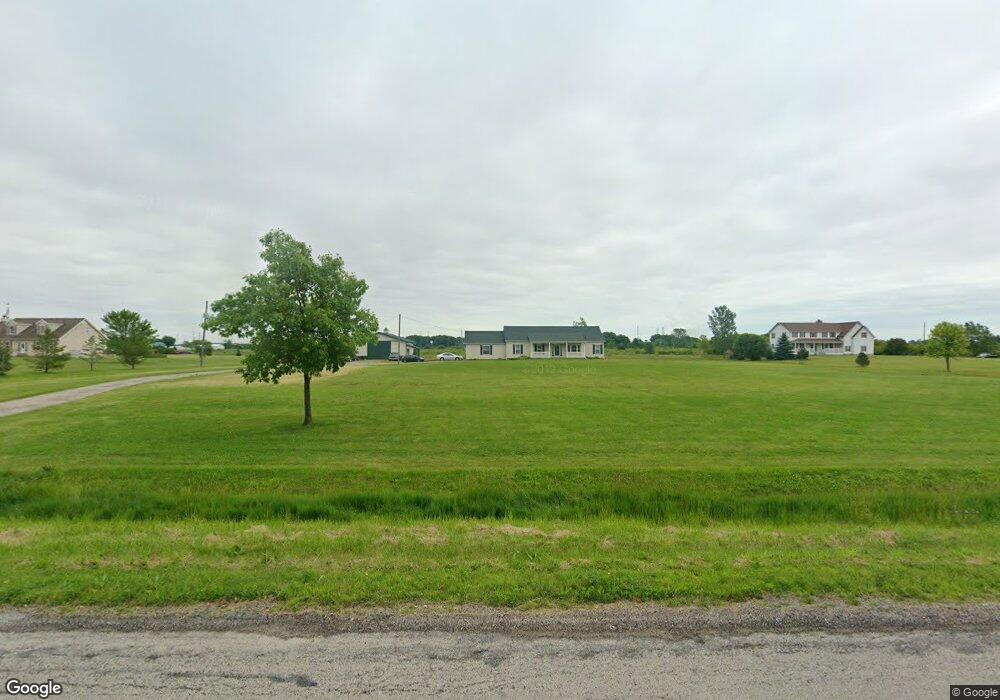
7622 Mentel Rd Newport, MI 48166
Estimated Value: $307,269 - $416,000
3
Beds
2
Baths
1,430
Sq Ft
$253/Sq Ft
Est. Value
About This Home
This home is located at 7622 Mentel Rd, Newport, MI 48166 and is currently estimated at $362,067, approximately $253 per square foot. 7622 Mentel Rd is a home located in Monroe County with nearby schools including Airport Senior High School.
Ownership History
Date
Name
Owned For
Owner Type
Purchase Details
Closed on
Mar 17, 2000
Sold by
Bader Donald
Bought by
Worrell Edward and Worrell Renee
Current Estimated Value
Home Financials for this Owner
Home Financials are based on the most recent Mortgage that was taken out on this home.
Original Mortgage
$177,300
Outstanding Balance
$60,521
Interest Rate
8.39%
Mortgage Type
New Conventional
Estimated Equity
$301,546
Purchase Details
Closed on
Mar 25, 1997
Sold by
Masserant David
Bought by
Bader Donald and Bader Andrea
Create a Home Valuation Report for This Property
The Home Valuation Report is an in-depth analysis detailing your home's value as well as a comparison with similar homes in the area
Home Values in the Area
Average Home Value in this Area
Purchase History
| Date | Buyer | Sale Price | Title Company |
|---|---|---|---|
| Worrell Edward | $197,000 | -- | |
| Bader Donald | $44,000 | -- |
Source: Public Records
Mortgage History
| Date | Status | Borrower | Loan Amount |
|---|---|---|---|
| Open | Worrell Edward | $177,300 |
Source: Public Records
Tax History Compared to Growth
Tax History
| Year | Tax Paid | Tax Assessment Tax Assessment Total Assessment is a certain percentage of the fair market value that is determined by local assessors to be the total taxable value of land and additions on the property. | Land | Improvement |
|---|---|---|---|---|
| 2025 | $3,731 | $131,500 | $59,200 | $72,300 |
| 2024 | $1,303 | $125,700 | $0 | $0 |
| 2023 | $1,241 | $114,600 | $0 | $0 |
| 2022 | $3,651 | $114,600 | $0 | $0 |
| 2021 | $3,524 | $111,600 | $0 | $0 |
| 2020 | $3,586 | $102,600 | $0 | $0 |
| 2019 | $3,208 | $102,600 | $0 | $0 |
| 2018 | $3,303 | $113,500 | $0 | $0 |
| 2017 | $1,121 | $113,200 | $0 | $0 |
| 2016 | $3,109 | $113,200 | $0 | $0 |
| 2015 | $3,009 | $101,000 | $0 | $0 |
| 2014 | $2,969 | $101,000 | $0 | $0 |
| 2013 | -- | $109,300 | $0 | $0 |
Source: Public Records
Map
Nearby Homes
- 1855 Laurel St
- 7393 Newport Rd S
- 1983 Oak St
- 0 N Stoney Creek Rd Unit 50188927
- 2552 Newport Rd
- 8761 Birchwood Dr
- 6700 N Stony Creek Rd
- 1827 Newport Rd
- 8021 N Telegraph Rd
- 0 N Telegraph Rd Unit 50189310
- 9078 W Timberview Dr
- 325 Yorkshire
- 9244 Greentree Dr Unit 125
- 8779 E Park Ridge Cir
- 2337 Crestview Dr Unit 106
- 0 Swan Creek Rd Unit 50102601
- 8848 Swan Creek Rd
- 00000 Swan Creek Rd
- 01 Swan Creek Rd Swan Creek Rd
- 6875 S Stony Creek Rd