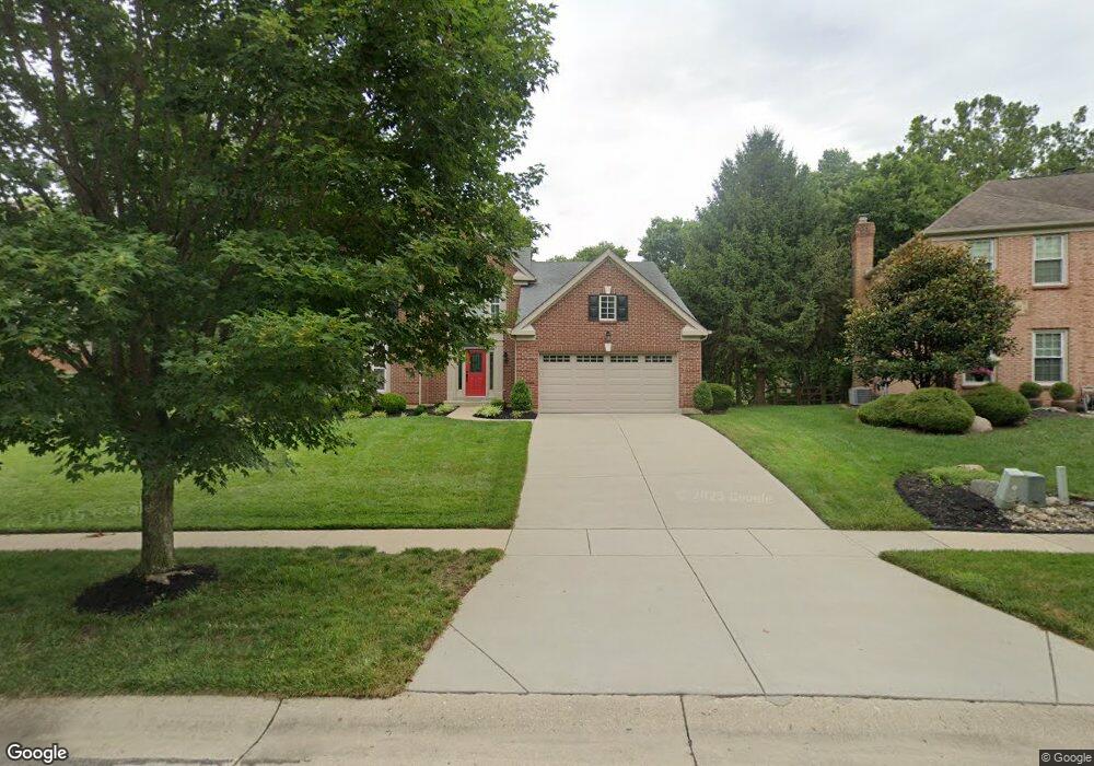
7624 Brookstone Dr West Chester, OH 45069
West Chester Township NeighborhoodEstimated Value: $506,411 - $535,000
4
Beds
4
Baths
2,732
Sq Ft
$189/Sq Ft
Est. Value
About This Home
This home is located at 7624 Brookstone Dr, West Chester, OH 45069 and is currently estimated at $517,353, approximately $189 per square foot. 7624 Brookstone Dr is a home located in Butler County with nearby schools including Union Elementary School, Hopewell Early Childhood School, and Hopewell Junior School.
Ownership History
Date
Name
Owned For
Owner Type
Purchase Details
Closed on
Dec 19, 1996
Sold by
Zaring Homes Inc
Bought by
Frick Kim S and Frick Ruth
Current Estimated Value
Home Financials for this Owner
Home Financials are based on the most recent Mortgage that was taken out on this home.
Original Mortgage
$135,000
Outstanding Balance
$13,772
Interest Rate
7.74%
Mortgage Type
New Conventional
Estimated Equity
$503,581
Create a Home Valuation Report for This Property
The Home Valuation Report is an in-depth analysis detailing your home's value as well as a comparison with similar homes in the area
Home Values in the Area
Average Home Value in this Area
Purchase History
| Date | Buyer | Sale Price | Title Company |
|---|---|---|---|
| Frick Kim S | $218,450 | -- |
Source: Public Records
Mortgage History
| Date | Status | Borrower | Loan Amount |
|---|---|---|---|
| Open | Frick Kim S | $135,000 |
Source: Public Records
Tax History Compared to Growth
Tax History
| Year | Tax Paid | Tax Assessment Tax Assessment Total Assessment is a certain percentage of the fair market value that is determined by local assessors to be the total taxable value of land and additions on the property. | Land | Improvement |
|---|---|---|---|---|
| 2024 | $5,741 | $136,100 | $18,040 | $118,060 |
| 2023 | $5,698 | $139,210 | $18,040 | $121,170 |
| 2022 | $5,908 | $103,860 | $18,040 | $85,820 |
| 2021 | $5,374 | $99,770 | $18,040 | $81,730 |
| 2020 | $5,496 | $99,770 | $18,040 | $81,730 |
| 2019 | $5,061 | $89,060 | $18,030 | $71,030 |
| 2018 | $5,151 | $89,060 | $18,030 | $71,030 |
| 2017 | $5,238 | $89,060 | $18,030 | $71,030 |
| 2016 | $5,435 | $87,130 | $18,030 | $69,100 |
| 2015 | $5,326 | $87,130 | $18,030 | $69,100 |
| 2014 | $4,994 | $87,130 | $18,030 | $69,100 |
| 2013 | $4,994 | $77,860 | $18,030 | $59,830 |
Source: Public Records
Map
Nearby Homes
- 7619 Brookstone Dr
- 7636 Shawnee Ln
- 7636 Shawnee Ln Unit 206
- 6570 Glen Arbor Dr
- 7560 Shawnee Ln
- 7746 Scioto Ct
- 7724 W Lake Dr
- 7974 Thistlewood Dr
- 7913 Merryman Way
- 6387 Coachlight Way
- 7420 Kennesaw Dr
- 7228 Shady Hollow Ln
- 7947 Kennesaw Dr
- 7534 Galway Ct
- 6210 Cardington Place
- 8062 Kennesaw Dr
- 7948 Bayer Dr
- 7628 Lesourdsville West Chester Rd
- 6084 Tylersville Rd
- 7886 Lesourdsville West Chester Rd
- 7634 Brookstone Dr
- 7614 Brookstone Dr
- 7648 Brookstone Dr
- 7604 Brookstone Dr
- 7645 Brookstone Dr
- 7609 Brookstone Dr
- 7654 Brookstone Dr
- 7677 Lakota Ct
- 7594 Brookstone Dr
- 7667 Lakota Ct
- 7659 Brookstone Dr
- 7689 Lakota Ct
- 7599 Brookstone Dr
- 7660 Brookstone Dr
- 6623 Renwick Ct
- 6618 Renwick Ct
- 7657 Lakota Ct
- 7643 Lakota Hills Dr
- 7653 Lakota Hills Dr
- 7589 Brookstone Dr