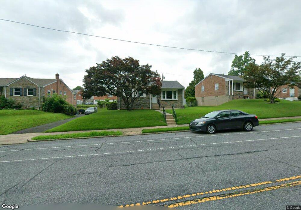
7624 Lexington Ave Philadelphia, PA 19152
Rhawnhurst NeighborhoodEstimated Value: $357,000 - $419,000
--
Bed
--
Bath
1,230
Sq Ft
$310/Sq Ft
Est. Value
About This Home
This home is located at 7624 Lexington Ave, Philadelphia, PA 19152 and is currently estimated at $381,715, approximately $310 per square foot. 7624 Lexington Ave is a home located in Philadelphia County with nearby schools including Lincoln High School, Meehan Austin Middle School, and Northeast Community Propel Academy.
Ownership History
Date
Name
Owned For
Owner Type
Purchase Details
Closed on
Jul 1, 2004
Sold by
Casselberry Jesse and Casselberry Catherine E
Bought by
Hawthorne Ronald and Hawthorne Virginia
Current Estimated Value
Home Financials for this Owner
Home Financials are based on the most recent Mortgage that was taken out on this home.
Original Mortgage
$168,000
Outstanding Balance
$84,095
Interest Rate
6.25%
Mortgage Type
Purchase Money Mortgage
Estimated Equity
$297,620
Create a Home Valuation Report for This Property
The Home Valuation Report is an in-depth analysis detailing your home's value as well as a comparison with similar homes in the area
Home Values in the Area
Average Home Value in this Area
Purchase History
| Date | Buyer | Sale Price | Title Company |
|---|---|---|---|
| Hawthorne Ronald | $210,000 | -- |
Source: Public Records
Mortgage History
| Date | Status | Borrower | Loan Amount |
|---|---|---|---|
| Open | Hawthorne Ronald | $168,000 |
Source: Public Records
Tax History Compared to Growth
Tax History
| Year | Tax Paid | Tax Assessment Tax Assessment Total Assessment is a certain percentage of the fair market value that is determined by local assessors to be the total taxable value of land and additions on the property. | Land | Improvement |
|---|---|---|---|---|
| 2025 | $4,240 | $357,900 | $71,580 | $286,320 |
| 2024 | $4,240 | $357,900 | $71,580 | $286,320 |
| 2023 | $4,240 | $302,900 | $60,580 | $242,320 |
| 2022 | $2,998 | $257,900 | $60,580 | $197,320 |
| 2021 | $3,628 | $0 | $0 | $0 |
| 2020 | $3,628 | $0 | $0 | $0 |
| 2019 | $3,514 | $0 | $0 | $0 |
| 2018 | $2,983 | $0 | $0 | $0 |
| 2017 | $2,983 | $0 | $0 | $0 |
| 2016 | $2,563 | $0 | $0 | $0 |
| 2015 | $2,454 | $0 | $0 | $0 |
| 2014 | -- | $213,100 | $80,823 | $132,277 |
| 2012 | -- | $31,936 | $9,463 | $22,473 |
Source: Public Records
Map
Nearby Homes
- 7703 Brous Ave
- 7416 Revere St
- 7418 Revere St
- 7521 Calvert St
- 7525 Calvert St
- 7722 Fairfield St
- 3036 Nesper St
- 3011 Teesdale St
- 3034 Teesdale St
- 7914 Farnsworth St
- 7233 Barnard Ave
- 3219 Teesdale St
- 3222 Guilford St
- 3118 Cottman Ave
- 2803 Rhawn St
- 2755 Rhawn St
- 3243 Teesdale St
- 7249 Rupert St
- 7246 Calvert St
- 7213 Brous Ave
- 7622 Lexington Ave
- 7626 Lexington Ave
- 7621 Brocklehurst St
- 7623 Brocklehurst St
- 7620 Lexington Ave
- 7628 Lexington Ave
- 7619 Brocklehurst St
- 7625 Brocklehurst St
- 7618 Lexington Ave
- 7630 Lexington Ave
- 7627 Brocklehurst St
- 7617 Brocklehurst St
- 7616 Lexington Ave
- 7616 Brocklehurst St
- 7615 Brocklehurst St
- 7614 Brocklehurst St
- 7618 Brocklehurst St
- 7612 Brocklehurst St
- 7700 Lexington Ave
- 7614 Lexington Ave