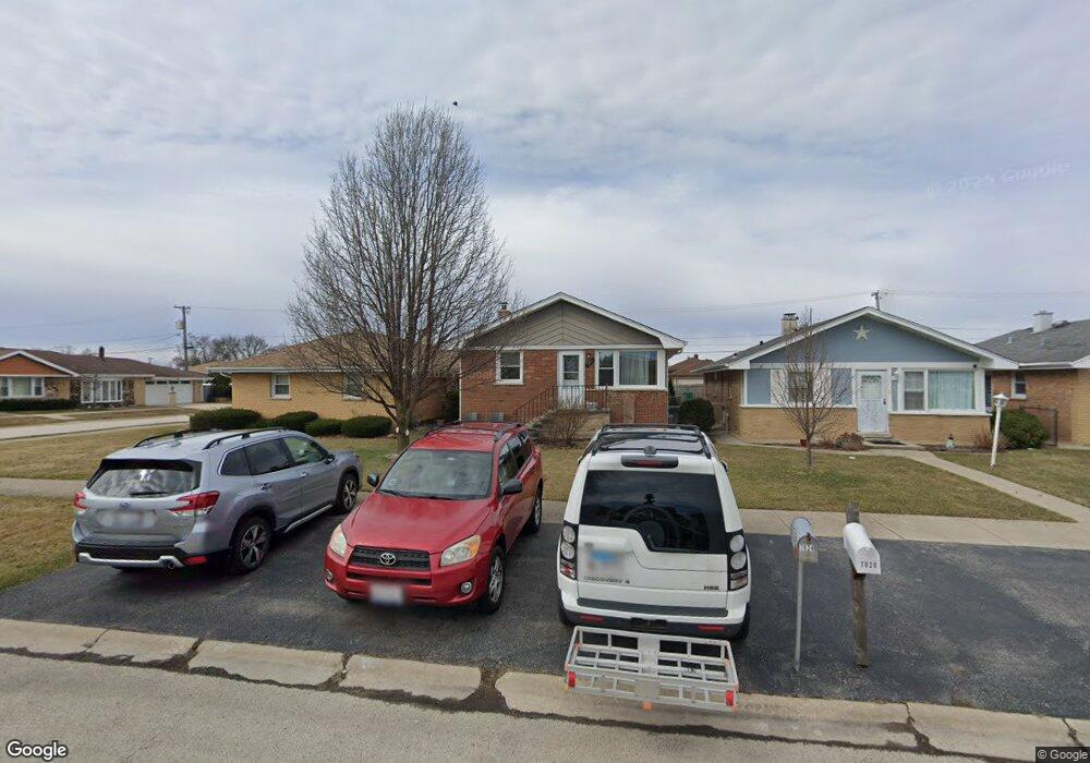
7624 Lorel Ave Burbank, IL 60459
Estimated Value: $221,000 - $349,000
3
Beds
1
Bath
992
Sq Ft
$281/Sq Ft
Est. Value
About This Home
This home is located at 7624 Lorel Ave, Burbank, IL 60459 and is currently estimated at $278,653, approximately $280 per square foot. 7624 Lorel Ave is a home located in Cook County with nearby schools including J.B. Kennedy Elementary School, Reavis High School, and St Albert the Great Catholic School.
Ownership History
Date
Name
Owned For
Owner Type
Purchase Details
Closed on
Mar 21, 2013
Sold by
Lewkowicz Leon and Lewkowicz Anna
Bought by
Marquette Bank and Trust Number 20074
Current Estimated Value
Purchase Details
Closed on
Jan 16, 2009
Sold by
Drzazinski Steven E
Bought by
Lewkowicz Leon and Lewkowicz Anna
Purchase Details
Closed on
May 22, 2007
Sold by
Drzazinski Steven E
Bought by
Drzazinski Steven E
Purchase Details
Closed on
Sep 4, 1996
Sold by
Belfiore Sam
Bought by
Belfiore Mary
Create a Home Valuation Report for This Property
The Home Valuation Report is an in-depth analysis detailing your home's value as well as a comparison with similar homes in the area
Home Values in the Area
Average Home Value in this Area
Purchase History
| Date | Buyer | Sale Price | Title Company |
|---|---|---|---|
| Marquette Bank | -- | None Available | |
| Lewkowicz Leon | $120,000 | None Available | |
| Drzazinski Steven E | -- | None Available | |
| Belfiore Mary | -- | -- |
Source: Public Records
Tax History
| Year | Tax Paid | Tax Assessment Tax Assessment Total Assessment is a certain percentage of the fair market value that is determined by local assessors to be the total taxable value of land and additions on the property. | Land | Improvement |
|---|---|---|---|---|
| 2025 | $1,329 | $23,000 | $3,950 | $19,050 |
| 2024 | $1,329 | $23,000 | $3,950 | $19,050 |
| 2023 | $1,704 | $23,000 | $3,950 | $19,050 |
| 2022 | $1,704 | $14,460 | $3,430 | $11,030 |
| 2021 | $1,588 | $14,459 | $3,430 | $11,029 |
| 2020 | $1,427 | $14,459 | $3,430 | $11,029 |
| 2019 | $1,587 | $14,427 | $3,118 | $11,309 |
| 2018 | $1,545 | $14,427 | $3,118 | $11,309 |
| 2017 | $1,468 | $14,427 | $3,118 | $11,309 |
| 2016 | $2,378 | $11,030 | $2,598 | $8,432 |
| 2015 | $3,040 | $13,720 | $2,598 | $11,122 |
| 2014 | $2,462 | $13,720 | $2,598 | $11,122 |
| 2013 | $2,700 | $13,490 | $2,598 | $10,892 |
Source: Public Records
Map
Nearby Homes
- 7624 Lockwood Ave
- 7808 Central Ave
- 7807 Parkside Ave
- 5120 W 79th St
- 7714 Lavergne Ave
- 8652 S Leamington Ave
- 7772 Lavergne Ave
- 7814 Major Ave
- 5841 W 75th Place
- 5002 W 79th St
- 7843 Massasoit Ave
- 8103 Long Ave
- 8110 Lockwood Ave
- 5822 W 79th St
- 7836 Monitor Ave
- 5735 W 80th St
- 7544 Mason Ave
- 7731 S Keating Ave
- 8254 Linder Ave
- 7715 S Kilpatrick Ave
Your Personal Tour Guide
Ask me questions while you tour the home.