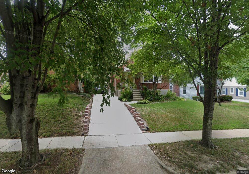
7624 Williams Ave Saint Louis, MO 63143
Estimated Value: $283,000 - $314,000
3
Beds
1
Bath
1,445
Sq Ft
$203/Sq Ft
Est. Value
About This Home
This home is located at 7624 Williams Ave, Saint Louis, MO 63143 and is currently estimated at $293,155, approximately $202 per square foot. 7624 Williams Ave is a home located in St. Louis County with nearby schools including Maplewood Richmond Heights Elementary School, Maplewood Richmond Heights Middle School, and Maplewood-Richmond Heights High School.
Ownership History
Date
Name
Owned For
Owner Type
Purchase Details
Closed on
Apr 27, 2001
Sold by
Andrasko Elizabeth M
Bought by
Owings Annette D
Current Estimated Value
Home Financials for this Owner
Home Financials are based on the most recent Mortgage that was taken out on this home.
Original Mortgage
$97,500
Outstanding Balance
$34,945
Interest Rate
6.81%
Estimated Equity
$258,210
Purchase Details
Closed on
Jul 9, 1999
Sold by
Jane Shao Quan and Jane Paul
Bought by
Andrasko Elizabeth M
Home Financials for this Owner
Home Financials are based on the most recent Mortgage that was taken out on this home.
Original Mortgage
$93,100
Interest Rate
7.39%
Create a Home Valuation Report for This Property
The Home Valuation Report is an in-depth analysis detailing your home's value as well as a comparison with similar homes in the area
Home Values in the Area
Average Home Value in this Area
Purchase History
| Date | Buyer | Sale Price | Title Company |
|---|---|---|---|
| Owings Annette D | $121,900 | -- | |
| Owings Annette D | $121,900 | -- | |
| Andrasko Elizabeth M | $98,000 | -- |
Source: Public Records
Mortgage History
| Date | Status | Borrower | Loan Amount |
|---|---|---|---|
| Open | Owings Annette D | $97,500 | |
| Closed | Owings Annette D | $97,500 | |
| Previous Owner | Andrasko Elizabeth M | $93,100 | |
| Closed | Owings Annette D | $12,150 |
Source: Public Records
Tax History Compared to Growth
Tax History
| Year | Tax Paid | Tax Assessment Tax Assessment Total Assessment is a certain percentage of the fair market value that is determined by local assessors to be the total taxable value of land and additions on the property. | Land | Improvement |
|---|---|---|---|---|
| 2025 | $3,738 | $49,590 | $29,980 | $19,610 |
| 2024 | $3,738 | $45,260 | $18,680 | $26,580 |
| 2023 | $3,738 | $45,260 | $18,680 | $26,580 |
| 2022 | $3,863 | $44,350 | $18,680 | $25,670 |
| 2021 | $3,833 | $44,350 | $18,680 | $25,670 |
| 2020 | $3,069 | $33,480 | $16,000 | $17,480 |
| 2019 | $3,050 | $33,480 | $16,000 | $17,480 |
| 2018 | $3,020 | $30,000 | $11,210 | $18,790 |
| 2017 | $2,964 | $30,000 | $11,210 | $18,790 |
| 2016 | $2,746 | $26,790 | $10,280 | $16,510 |
| 2015 | $2,594 | $26,790 | $10,280 | $16,510 |
| 2014 | $2,474 | $26,140 | $6,270 | $19,870 |
Source: Public Records
Map
Nearby Homes
- 2030 Bland Place
- 7555 Alicia Ave
- 7635 Folk Ave
- 7590 W Bruno Ave
- 7562 Folk Ave
- 7638 Weaver Ave
- 1723 Mccready Ave
- 7765 Weston Place
- 7736 W Ranken Ave
- 7735 Saint Albans Ave
- 1733 Del Norte Ave
- 7400 Williams Ave
- 7715 Dale Ave
- 7723 Dale Ave
- 7264 Richmond Place
- 7716 Lovella Ave
- 1501 Stockard Ave
- 1510 Banneker Ave
- 1262 Moorlands Dr
- 1241 Strassner Dr Unit 1308
- 7630 Williams Ave
- 7620 Williams Ave
- 7636 Williams Ave
- 7616 Williams Ave
- 7614 Williams Ave
- 7638 Williams Ave
- 7621 Alicia Ave
- 7615 Alicia Ave
- 7623 Alicia Ave
- 2040 Bland Place
- 7611 Alicia Ave
- 7610 Williams Ave
- 7635 Alicia Ave
- 7642 Williams Ave
- 7605 Alicia Ave
- 2036 Bland Place
- 2037 Bland Place
- 7608 Williams Ave
- 7603 Alicia Ave
- 7639 Alicia Ave