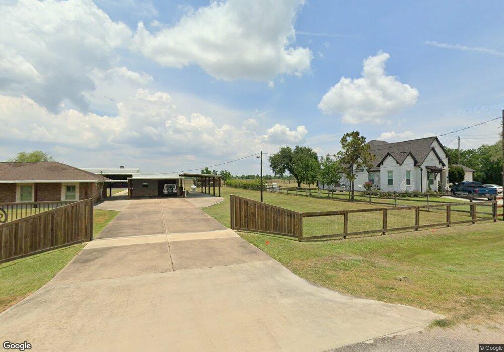
7625 Dare Rd Unit 935 Pearland, TX 77584
Estimated Value: $761,787 - $954,000
--
Bed
2
Baths
7,223
Sq Ft
$114/Sq Ft
Est. Value
About This Home
This home is located at 7625 Dare Rd Unit 935, Pearland, TX 77584 and is currently estimated at $825,947, approximately $114 per square foot. 7625 Dare Rd Unit 935 is a home located in Brazoria County with nearby schools including Mark Twain Elementary School, G.W. Harby Junior High School, and Manvel High School.
Ownership History
Date
Name
Owned For
Owner Type
Purchase Details
Closed on
Mar 9, 2004
Sold by
Dare Judy A
Bought by
Sosa Fidel and Sosa Juana
Current Estimated Value
Home Financials for this Owner
Home Financials are based on the most recent Mortgage that was taken out on this home.
Original Mortgage
$114,400
Interest Rate
5.64%
Mortgage Type
Purchase Money Mortgage
Purchase Details
Closed on
Dec 24, 2002
Sold by
Schaat Judy Ann
Bought by
Dare Judy A
Home Financials for this Owner
Home Financials are based on the most recent Mortgage that was taken out on this home.
Original Mortgage
$75,000
Interest Rate
6.06%
Mortgage Type
Credit Line Revolving
Create a Home Valuation Report for This Property
The Home Valuation Report is an in-depth analysis detailing your home's value as well as a comparison with similar homes in the area
Home Values in the Area
Average Home Value in this Area
Purchase History
| Date | Buyer | Sale Price | Title Company |
|---|---|---|---|
| Sosa Fidel | -- | First American Title | |
| Dare Judy A | -- | -- |
Source: Public Records
Mortgage History
| Date | Status | Borrower | Loan Amount |
|---|---|---|---|
| Closed | Sosa Fidel | $114,400 | |
| Previous Owner | Dare Judy A | $75,000 | |
| Closed | Sosa Fidel | $14,300 |
Source: Public Records
Tax History Compared to Growth
Tax History
| Year | Tax Paid | Tax Assessment Tax Assessment Total Assessment is a certain percentage of the fair market value that is determined by local assessors to be the total taxable value of land and additions on the property. | Land | Improvement |
|---|---|---|---|---|
| 2025 | $6,536 | $592,375 | $194,820 | $606,610 |
| 2023 | $6,536 | $489,566 | $194,820 | $564,310 |
| 2022 | $9,440 | $445,060 | $98,810 | $425,260 |
| 2021 | $9,461 | $426,330 | $91,750 | $334,580 |
| 2020 | $8,654 | $403,510 | $84,690 | $318,820 |
| 2019 | $9,913 | $448,230 | $70,580 | $377,650 |
| 2018 | $8,263 | $392,450 | $84,690 | $307,760 |
| 2017 | $7,607 | $366,520 | $81,160 | $285,360 |
| 2016 | $6,916 | $357,970 | $84,690 | $273,280 |
| 2014 | $5,245 | $281,140 | $41,780 | $239,360 |
Source: Public Records
Map
Nearby Homes
- 18502 Wells Ct
- 18111 Roy Long Rd
- 7506 Bluebonnet St
- 00 Cr 175
- 0 County Road 128
- 8030 Over St Unit C176A
- 8042 Over St
- 19168 County Road 669e Stoneforest
- 17501 County Road 116
- 7829 James St Unit CR117
- COUNTRY RD 143 County Road 112
- 7225 Libby Ln
- 3415 Herbert Dr
- 7223 Libby Ln
- 7206 Williams Rd
- 8835 Escondido St
- 16719 Mclean Rd
- 17827 N Highway 35
- 4016 Atago Tree Ln
- 16622 Mclean Rd
- 7621 Dare Rd Unit 935
- 7555 County Road 935 Rd
- 7526 Dare Rd Unit 935
- 7631 Dare Rd
- 7631 Dare Rd Unit CR-935
- 7524 Dare Rd
- 18517 Prickley Ash Way
- 18726 Wells Ct
- 0 County Road 175 Unit 85861703
- 18726 County Road 175
- 18111 County Road 113
- 18507 Wells Ct
- 18525 Prickley Ash Way
- 18724 County Road 175
- 18515 Wells Ct
- 18343 Bounds Dr
- 18343 Bounds Dr
- 7806 Carrie Ln
- 18107 Timothy St
- 18201 Timothy St