Estimated Value: $459,000 - $585,158
Studio
1
Bath
3,547
Sq Ft
$150/Sq Ft
Est. Value
About This Home
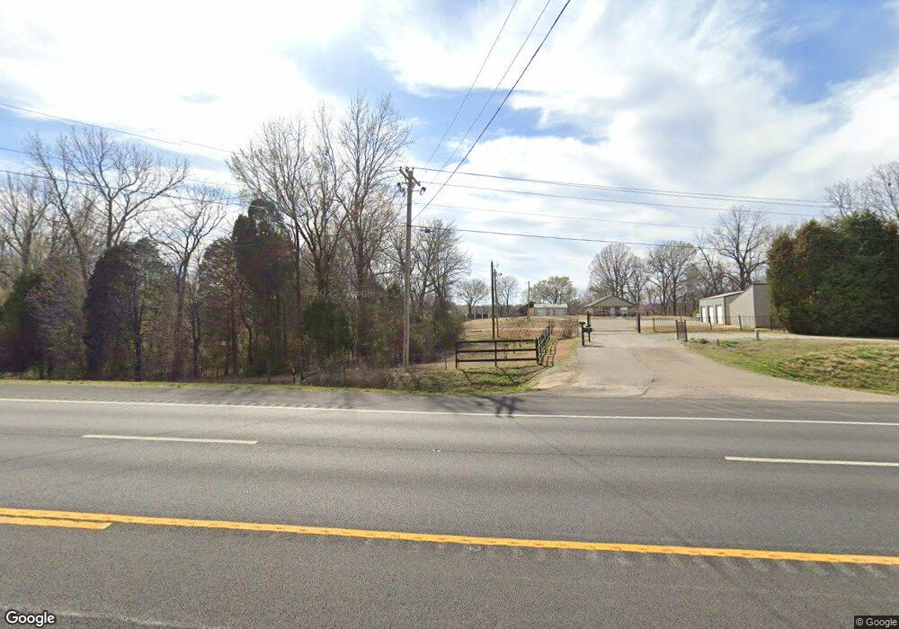
This home is located at 7625 Highway 63 N, Bono, AR 72416 and is currently estimated at $530,719, approximately $149 per square foot. 7625 Highway 63 N is a home with nearby schools including Westside Elementary School, Westside Middle School, and Westside High School.
Ownership History
Date
Name
Owned For
Owner Type
Purchase Details
Closed on
May 22, 2017
Sold by
Brian Ford Construction Inc
Bought by
Ford Brian and Ford Kim
Current Estimated Value
Home Financials for this Owner
Home Financials are based on the most recent Mortgage that was taken out on this home.
Original Mortgage
$323,000
Outstanding Balance
$267,000
Interest Rate
3.97%
Mortgage Type
New Conventional
Estimated Equity
$263,719
Purchase Details
Closed on
Dec 9, 2014
Bought by
Brian Ford Construction
Create a Home Valuation Report for This Property
The Home Valuation Report is an in-depth analysis detailing your home's value as well as a comparison with similar homes in the area
Purchase History
| Date | Buyer | Sale Price | Title Company |
|---|---|---|---|
| Ford Brian | -- | Lenders Title | |
| Brian Ford Construction | $79,900 | -- |
Source: Public Records
Mortgage History
| Date | Status | Borrower | Loan Amount |
|---|---|---|---|
| Open | Ford Brian | $323,000 |
Source: Public Records
Tax History
| Year | Tax Paid | Tax Assessment Tax Assessment Total Assessment is a certain percentage of the fair market value that is determined by local assessors to be the total taxable value of land and additions on the property. | Land | Improvement |
|---|---|---|---|---|
| 2025 | $4,338 | $100,044 | $10,892 | $89,152 |
| 2024 | $4,338 | $100,044 | $10,892 | $89,152 |
| 2023 | $2,947 | $100,044 | $10,892 | $89,152 |
| 2022 | $2,847 | $100,044 | $10,892 | $89,152 |
| 2021 | $3,143 | $330 | $330 | $0 |
| 2020 | $14 | $330 | $330 | $0 |
| 2019 | $14 | $330 | $330 | $0 |
| 2018 | $14 | $330 | $330 | $0 |
| 2017 | $13 | $330 | $330 | $0 |
| 2016 | $12 | $280 | $280 | $0 |
| 2015 | $12 | $280 | $280 | $0 |
Source: Public Records
Map
Nearby Homes
- 581 County Road 130
- 366 Cr 340
- 57 County Road 117
- 97 County Road 130
- 106 Hickox Dr
- 212 Woody Ln
- 14 County Road 346
- 279 County Road 342
- 727 Cr 311
- 20 Acres Parker Rd and I-555
- 3021 Dan Ave
- 394 County Road 348
- 67.78 acres Cr 114
- 1243 County Road 114
- 230 U S 63
- 302 Hollis St
- 305 Hollis St
- 10311 Highway 63 B
- 2001 Arrowhead Farm Rd
- 38 Strawfloor Dr
- 7681 Highway 63 N
- 7681 Hwy 63 N
- 7737 Highway 63 N
- 7613 Hwy 63n Hwy
- 7613 Highway 63 N
- 7722 Highway 63 N
- 7590 Highway 63 N
- 7556 Us Highway 63
- 7753 Highway 63 N
- 267 County Road 101
- 3705 Happy Ln
- 7668 Highway 63 N
- 259 County Road 101
- 3609 Happy Ln
- 7532 Hwy 63 N
- 138 County Road 101
- 105 Joe Martin Expy
- 7804 Highway 63 N
- 219 County Road 101
- 104 Joe N Martin Expy
Your Personal Tour Guide
Ask me questions while you tour the home.