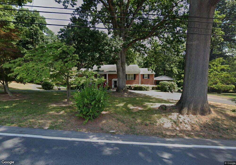
7627 Summit Point Rd Charles Town, WV 25414
Estimated Value: $491,000 - $540,000
3
Beds
3
Baths
3,534
Sq Ft
$144/Sq Ft
Est. Value
About This Home
This home is located at 7627 Summit Point Rd, Charles Town, WV 25414 and is currently estimated at $507,968, approximately $143 per square foot. 7627 Summit Point Rd is a home with nearby schools including Page Jackson Elementary School, Wright Denny Intermediate School, and Charles Town Middle School.
Ownership History
Date
Name
Owned For
Owner Type
Purchase Details
Closed on
Sep 11, 2025
Sold by
Roe Terri Lynn and Smith Mildred C
Bought by
H & G Catrow Contracting Inc
Current Estimated Value
Purchase Details
Closed on
Feb 24, 2014
Sold by
Smith Mildred C
Bought by
Smith Mildred C and Triscari Jacqlyn S
Create a Home Valuation Report for This Property
The Home Valuation Report is an in-depth analysis detailing your home's value as well as a comparison with similar homes in the area
Home Values in the Area
Average Home Value in this Area
Purchase History
| Date | Buyer | Sale Price | Title Company |
|---|---|---|---|
| H & G Catrow Contracting Inc | $305,000 | None Listed On Document | |
| H & G Catrow Contracting Inc | $305,000 | None Listed On Document | |
| Smith Mildred C | -- | None Available |
Source: Public Records
Tax History Compared to Growth
Tax History
| Year | Tax Paid | Tax Assessment Tax Assessment Total Assessment is a certain percentage of the fair market value that is determined by local assessors to be the total taxable value of land and additions on the property. | Land | Improvement |
|---|---|---|---|---|
| 2025 | $2,926 | $271,800 | $75,500 | $196,300 |
| 2024 | $2,738 | $253,900 | $75,500 | $178,400 |
| 2023 | $2,732 | $253,900 | $75,500 | $178,400 |
| 2022 | $2,457 | $226,200 | $70,600 | $155,600 |
| 2021 | $2,251 | $205,300 | $65,700 | $139,600 |
| 2020 | $2,081 | $202,900 | $63,300 | $139,600 |
| 2019 | $2,166 | $206,800 | $60,800 | $146,000 |
| 2018 | $2,106 | $199,300 | $58,400 | $140,900 |
| 2017 | $2,070 | $196,200 | $53,500 | $142,700 |
| 2016 | $2,165 | $204,800 | $60,100 | $144,700 |
| 2015 | $2,071 | $195,800 | $60,100 | $135,700 |
| 2014 | $1,553 | $152,100 | $46,200 | $105,900 |
Source: Public Records
Map
Nearby Homes
- 104 Carrell Ln
- 51 Captain Baird Ct
- 41 Pinehurst Ct
- 268 Oakmont Dr
- 109 Turnberry Dr
- 78 Baltusrol Dr
- 23 Berkeley Ct
- 28 Newington Ct N Unit N
- 305 Brookline Dr
- 215 Brookline Dr
- 22 Brookline Cir
- 80 Mountaineer Ct
- HOMESITE 690 Marquee Farm Rd
- 39 Torrey Pines Ct
- HOMESITE 692 Marquee Farm Rd
- HOMESITE 683 Marquee Farm Rd
- HOMESITE 686 Marquee Farm Rd
- HOMESITE 684 Marquee Farm Rd
- HOMESITE 695 Marquee Farm Rd
- HOMESITE 687 Marquee Farm Rd
- 7663 Summit Point Rd
- 7705 Summit Point Rd
- 7737 Summit Point Rd
- 7605 Summit Point Rd
- 7779 Summit Point Rd
- 219 Lindsey Dr
- 90 Carrell Ln
- 101 Carrell Ln
- 83 Carrell Ln
- 242 Douglas Dr
- 179 Lindsey Dr
- 133 Captain Kime Dr
- 156 New Castle Dr
- 142 New Castle Dr
- 246 Douglas Dr
- 57 Carrell Ln
- 1573 Tuscawilla Dr
- 134 New Castle Dr
- 194 Douglas Dr
- 174 Douglas Dr