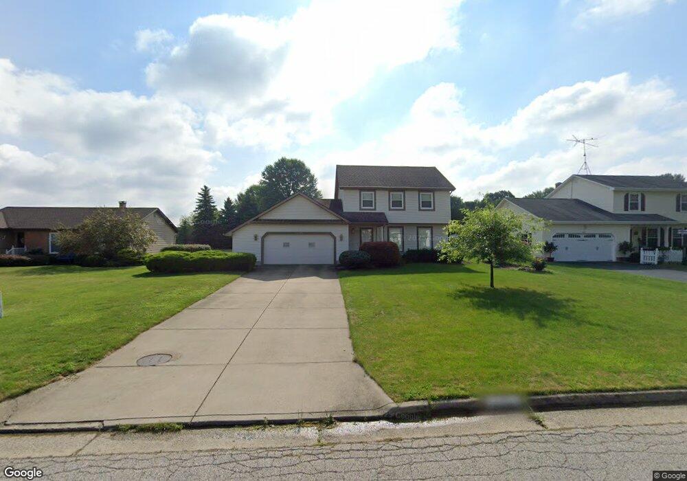
7629 Buchanan Dr Youngstown, OH 44512
Boardman AreaEstimated Value: $248,000 - $274,000
About This Home
This home is located at 7629 Buchanan Dr, Youngstown, OH 44512 and is currently estimated at $256,315, approximately $163 per square foot. 7629 Buchanan Dr is a home located in Mahoning County with nearby schools including Robinwood Lane Elementary School, Boardman Glenwood Junior High School, and Boardman High School.
Ownership History
We collect this data history from publicly available records. To have your information removed, we recommend requesting removal directly through your county’s website.
Purchase Details
Home Values in the Area
Average Home Value in this Area
Purchase History
We collect this data history from publicly available records. To have your information removed, we recommend requesting removal directly through your county’s website.
| Date | Buyer | Sale Price | Title Company |
|---|---|---|---|
| $79,500 | -- |
Mortgage History
We collect this data history from publicly available records. To have your information removed, we recommend requesting removal directly through your county’s website.
| Date | Status | Borrower | Loan Amount |
|---|---|---|---|
| Open | $100,000 | ||
| Closed | $100,000 |
Tax History
We collect this data history from publicly available records. To have your information removed, we recommend requesting removal directly through your county’s website.
| Year | Tax Paid | Tax Assessment Tax Assessment Total Assessment is a certain percentage of the fair market value that is determined by local assessors to be the total taxable value of land and additions on the property. | Land | Improvement |
|---|---|---|---|---|
| 2025 | $2,947 | $68,690 | $13,440 | $55,250 |
| 2024 | $3,032 | $68,690 | $13,440 | $55,250 |
| 2023 | $3,023 | $68,690 | $13,440 | $55,250 |
| 2022 | $2,853 | $51,670 | $10,350 | $41,320 |
| 2021 | $2,855 | $51,670 | $10,350 | $41,320 |
| 2020 | $2,869 | $51,670 | $10,350 | $41,320 |
| 2019 | $2,495 | $41,190 | $9,410 | $31,780 |
| 2018 | $2,154 | $41,190 | $9,410 | $31,780 |
| 2017 | $2,103 | $41,190 | $9,410 | $31,780 |
| 2016 | $2,235 | $42,940 | $10,420 | $32,520 |
| 2015 | $2,191 | $42,940 | $10,420 | $32,520 |
| 2014 | $2,197 | $42,940 | $10,420 | $32,520 |
| 2013 | $2,170 | $42,940 | $10,420 | $32,520 |
Map
- 675 Presidential Dr
- 0 Saddlebrook Lot 156 Dr Unit 5201639
- 0 Saddlebrook Lot 123 Dr Unit 5201636
- 817 Pearson Cir Unit 2
- 852 Pearson Cir Unit 3
- 7356 Eisenhower Dr Unit 6
- 7869 Walnut St
- 1507 Tamarisk Trail
- 0 Wood Ave Unit 5202352
- 0 Wood Ave Unit 5202351
- 6662 Appleridge Dr
- 222 Boardman Blvd
- 8060 Paulin Dr
- 218 Boardman Blvd
- 8129 South Ave
- 1852 Massachusetts Ave Unit 8
- 7293 Indian Trail
- 6570 Applewood Blvd
- 110 Boardman Blvd
- 113 Massachusetts Ave
- 7632 Franco Ct
- 7636 Franco Ct
- 803 Presidential Dr
- 7640 Franco Ct
- 7637 Buchanan Dr
- 797 Presidential Dr
- 7621 Buchanan Dr
- 7645 Buchanan Dr
- 7660 Franco Ct
- 7656 Franco Ct
- 7644 Franco Ct
- 791 Presidential Dr
- 7613 Buchanan Dr
- 7653 Buchanan Dr
- 7648 Franco Ct
- 7652 Franco Ct
- 7661 Buchanan Dr
- 783 Presidential Dr
- 7668 Buchanan Dr
- 7549 Buchanan Dr
Ask me questions while you tour the home.