7629 Capts Hrbr Dr Unit 1201 Bokeelia, FL 33922
Estimated Value: $324,937 - $370,000
2
Beds
2
Baths
2,206
Sq Ft
$157/Sq Ft
Est. Value
About This Home
This home is located at 7629 Capts Hrbr Dr Unit 1201, Bokeelia, FL 33922 and is currently estimated at $345,984, approximately $156 per square foot. 7629 Capts Hrbr Dr Unit 1201 is a home located in Lee County with nearby schools including Pine Island Elementary School, Trafalgar Middle School, and Gulf Middle School.
Ownership History
Date
Name
Owned For
Owner Type
Purchase Details
Closed on
Jul 6, 2016
Sold by
Simone Dominic A and Simone Holly A
Bought by
Munroe Patrick T and Munroe Frances A
Current Estimated Value
Purchase Details
Closed on
Oct 17, 1999
Sold by
Stearns Clyde E and Stearns Lorraine F
Bought by
Simone Dominic A
Home Financials for this Owner
Home Financials are based on the most recent Mortgage that was taken out on this home.
Original Mortgage
$80,000
Interest Rate
7.85%
Purchase Details
Closed on
May 30, 1997
Sold by
Wilfrath James A and Wilfrath Judith L
Bought by
Stearns Clyde E and Stearns Lorraine F
Home Financials for this Owner
Home Financials are based on the most recent Mortgage that was taken out on this home.
Original Mortgage
$76,000
Interest Rate
8.18%
Create a Home Valuation Report for This Property
The Home Valuation Report is an in-depth analysis detailing your home's value as well as a comparison with similar homes in the area
Home Values in the Area
Average Home Value in this Area
Purchase History
| Date | Buyer | Sale Price | Title Company |
|---|---|---|---|
| Munroe Patrick T | $225,000 | None Available | |
| Simone Dominic A | $139,000 | -- | |
| Stearns Clyde E | $128,000 | -- |
Source: Public Records
Mortgage History
| Date | Status | Borrower | Loan Amount |
|---|---|---|---|
| Previous Owner | Simone Dominic A | $80,000 | |
| Previous Owner | Stearns Clyde E | $76,000 |
Source: Public Records
Tax History Compared to Growth
Tax History
| Year | Tax Paid | Tax Assessment Tax Assessment Total Assessment is a certain percentage of the fair market value that is determined by local assessors to be the total taxable value of land and additions on the property. | Land | Improvement |
|---|---|---|---|---|
| 2025 | $4,088 | $250,325 | -- | $250,325 |
| 2024 | $4,088 | $260,830 | -- | -- |
| 2023 | $3,537 | $237,118 | $0 | $237,118 |
| 2022 | $3,451 | $220,901 | $0 | $0 |
| 2021 | $3,118 | $200,819 | $0 | $200,819 |
| 2020 | $3,069 | $197,838 | $0 | $197,838 |
| 2019 | $2,823 | $176,035 | $0 | $176,035 |
| 2018 | $2,872 | $176,035 | $0 | $176,035 |
| 2017 | $2,918 | $174,420 | $0 | $174,420 |
| 2016 | $2,955 | $173,650 | $0 | $173,650 |
| 2015 | $1,738 | $159,100 | $0 | $159,100 |
| 2014 | -- | $132,100 | $0 | $132,100 |
| 2013 | -- | $151,300 | $0 | $151,300 |
Source: Public Records
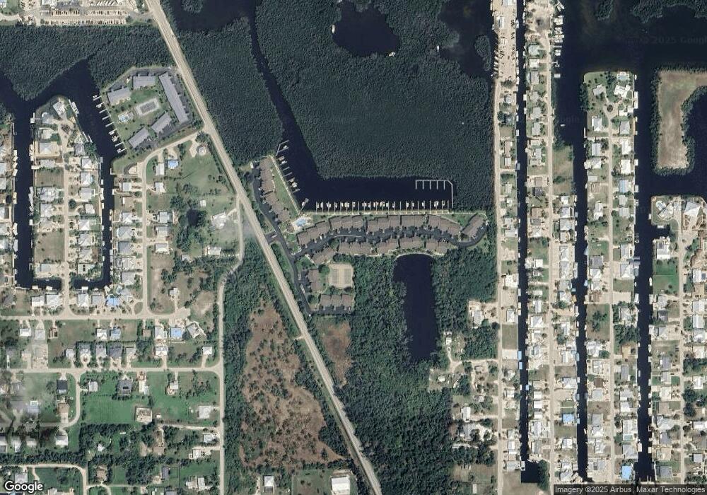
Map
Nearby Homes
- 16276 Nautical Way Unit 1402
- 7596 Captains Harbor #502 Dr
- 16361 Stringfellow Rd
- 16295 Boyce Dr
- 7767 Della Bitta Ln
- 7841 Breakwater Ct
- 16160 Tortuga St Unit 27
- 16341 Porto Bello St
- 16114 Porto Bello St
- 16281 Porto Bello St
- 16075 Quail Trail
- 78833 Breakwater Ct
- 7883 Breakwater Ct
- 16303 Shoal Ct
- 16150 Porto Bello St
- 16221 Buccaneer St
- 16140 Porto Bello St
- 7898 Gabion Ct
- 16304 Buccaneer St
- 16091 Porto Bello St
- 7629 Capts Hrbr Dr Unit 1205
- 7629 Capts Hrbr Dr Unit 1206
- 7629 Capts Hrbr Dr Unit 1202
- 7629 Capts Hrbr Dr Unit 1203
- 7629 Capts Hrbr Dr Unit 1204
- 7629 Captains Harbor Dr Unit 1205
- 7629 Captains Harbor Dr Unit 1201
- 7628 Captains Harbor Dr Unit 406
- 7628 Captains Harbor Dr Unit 402
- 7628 Capts Hrbr Dr Unit 404
- 7628 Capts Hrbr Dr Unit 405
- 7628 Capts Hrbr Dr Unit 401
- 7628 Capts Hrbr Dr Unit 402
- 7628 Capts Hrbr Dr Unit 406
- 7628 Capts Hrbr Dr Unit 403
- 7661 Capts Hrbr Dr Unit 1301
- 7661 Capts Hrbr Dr Unit 1303
- 7661 Capts Hrbr Dr Unit 1304
- 7661 Capts Hrbr Dr Unit 1302
- 7597 Capts Hrbr Dr Unit 1103