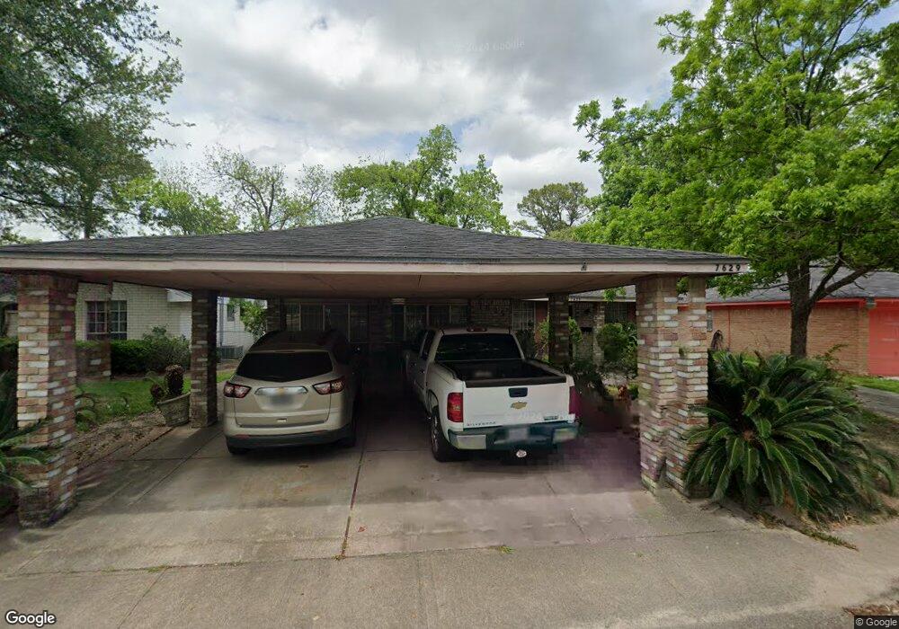
7629 Parker Rd Houston, TX 77016
East Little York NeighborhoodEstimated Value: $198,000 - $255,000
5
Beds
2
Baths
1,986
Sq Ft
$113/Sq Ft
Est. Value
About This Home
This home is located at 7629 Parker Rd, Houston, TX 77016 and is currently estimated at $223,450, approximately $112 per square foot. 7629 Parker Rd is a home located in Harris County with nearby schools including Shadydale Elementary School, Forest Brook Middle, and North Forest High School.
Ownership History
Date
Name
Owned For
Owner Type
Purchase Details
Closed on
Jan 28, 1998
Sold by
Williams Earline
Bought by
Roberts William and Roberts Vivian M
Current Estimated Value
Home Financials for this Owner
Home Financials are based on the most recent Mortgage that was taken out on this home.
Original Mortgage
$27,550
Outstanding Balance
$4,886
Interest Rate
7.02%
Estimated Equity
$218,564
Create a Home Valuation Report for This Property
The Home Valuation Report is an in-depth analysis detailing your home's value as well as a comparison with similar homes in the area
Home Values in the Area
Average Home Value in this Area
Purchase History
| Date | Buyer | Sale Price | Title Company |
|---|---|---|---|
| Roberts William | -- | -- |
Source: Public Records
Mortgage History
| Date | Status | Borrower | Loan Amount |
|---|---|---|---|
| Open | Roberts William | $27,550 |
Source: Public Records
Tax History Compared to Growth
Tax History
| Year | Tax Paid | Tax Assessment Tax Assessment Total Assessment is a certain percentage of the fair market value that is determined by local assessors to be the total taxable value of land and additions on the property. | Land | Improvement |
|---|---|---|---|---|
| 2025 | $77 | $193,077 | $45,081 | $147,996 |
| 2024 | $77 | $193,077 | $45,081 | $147,996 |
| 2023 | $77 | $189,418 | $45,081 | $144,337 |
| 2022 | $3,721 | $168,972 | $37,868 | $131,104 |
| 2021 | $3,982 | $170,840 | $25,245 | $145,595 |
| 2020 | $3,172 | $131,000 | $18,754 | $112,246 |
| 2019 | $2,758 | $144,634 | $13,705 | $130,929 |
| 2018 | $2,277 | $90,000 | $12,334 | $77,666 |
| 2017 | $2,347 | $92,816 | $12,334 | $80,482 |
| 2016 | $2,230 | $88,199 | $12,334 | $75,865 |
| 2015 | -- | $77,461 | $12,334 | $65,127 |
| 2014 | -- | $62,607 | $12,334 | $50,273 |
Source: Public Records
Map
Nearby Homes
- 7618 Boggess Rd
- 10206 Cheeves Dr
- 10125 Rebel Rd
- 10101 Rebel Rd
- 10106 Cheeves Dr
- 8022 Yoe St
- 7818 Laurel Gem Dr
- 7827 Laurel Gem Dr
- 7823 Laurel Gem Dr
- 7821 Laurel Gem Dr
- 7812 Laurel Gem Dr
- 7830 Laurel Gem Dr
- 7824 Laurel Gem Dr
- 7819 Laurel Gem Dr
- 7815 Laurel Gem Dr
- 7603 Caddo Rd
- 7449 Gleason Rd
- 7402 Yoe St
- 10035 Tiger Flower Ln
- 7726 Melanie St
- 7633 Parker Rd
- 7625 Parker Rd
- 7637 Parker Rd
- 7622 Boggess Rd
- 7621 Parker Rd
- 7626 Boggess Rd
- 7614 Boggess Rd
- 7630 Boggess Rd
- 7641 Parker Rd
- 7617 Parker Rd
- 7630 Parker Rd
- 7610 Boggess Rd
- 7634 Parker Rd
- 7634 Boggess Rd
- 7626 Parker Rd
- 7638 Parker Rd
- 7645 Parker Rd
- 7613 Parker Rd
- 7642 Parker Rd
- 7638 Boggess Rd