763 Donnelly Ave Springfield, OH 45503
Estimated Value: $300,000 - $328,000
3
Beds
2
Baths
1,512
Sq Ft
$207/Sq Ft
Est. Value
About This Home
This home is located at 763 Donnelly Ave, Springfield, OH 45503 and is currently estimated at $313,516, approximately $207 per square foot. 763 Donnelly Ave is a home located in Clark County with nearby schools including Northridge Elementary School, Kenton Ridge Middle & High School, and Emmanuel Christian Academy.
Ownership History
Date
Name
Owned For
Owner Type
Purchase Details
Closed on
Jun 3, 2003
Sold by
Hoppes Builders & Development Co
Bought by
Schneider Ralph E and Schneider Sandra L
Current Estimated Value
Home Financials for this Owner
Home Financials are based on the most recent Mortgage that was taken out on this home.
Original Mortgage
$63,300
Outstanding Balance
$27,213
Interest Rate
5.88%
Mortgage Type
Purchase Money Mortgage
Estimated Equity
$286,303
Create a Home Valuation Report for This Property
The Home Valuation Report is an in-depth analysis detailing your home's value as well as a comparison with similar homes in the area
Home Values in the Area
Average Home Value in this Area
Purchase History
| Date | Buyer | Sale Price | Title Company |
|---|---|---|---|
| Schneider Ralph E | $157,200 | -- |
Source: Public Records
Mortgage History
| Date | Status | Borrower | Loan Amount |
|---|---|---|---|
| Open | Schneider Ralph E | $63,300 |
Source: Public Records
Tax History
| Year | Tax Paid | Tax Assessment Tax Assessment Total Assessment is a certain percentage of the fair market value that is determined by local assessors to be the total taxable value of land and additions on the property. | Land | Improvement |
|---|---|---|---|---|
| 2025 | $3,284 | $98,440 | $24,530 | $73,910 |
| 2024 | $3,204 | $83,610 | $18,090 | $65,520 |
| 2023 | $3,204 | $83,610 | $18,090 | $65,520 |
| 2022 | $3,233 | $83,610 | $18,090 | $65,520 |
| 2021 | $2,890 | $65,340 | $14,130 | $51,210 |
| 2020 | $2,892 | $65,340 | $14,130 | $51,210 |
| 2019 | $2,946 | $65,340 | $14,130 | $51,210 |
| 2018 | $2,710 | $58,580 | $10,600 | $47,980 |
| 2017 | $2,331 | $56,553 | $10,598 | $45,955 |
| 2016 | $2,315 | $56,553 | $10,598 | $45,955 |
| 2015 | $2,215 | $56,049 | $10,094 | $45,955 |
| 2014 | $2,214 | $56,049 | $10,094 | $45,955 |
| 2013 | $2,164 | $56,049 | $10,094 | $45,955 |
Source: Public Records
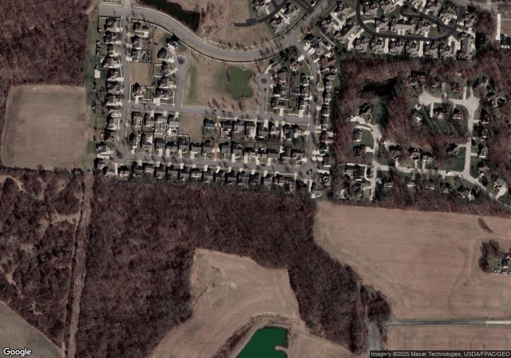
Map
Nearby Homes
- 593 Hiser Ave
- 4343 Burchill St
- 4741 Cullen Ave
- 4802 Willowbrook Dr
- 1341 Student Ave
- 5300 Brookshire Ln
- 4322 Midfield St Unit 15
- 4256 Midfield St Unit 9
- 0 Moorefield Rd
- 1162 Kingsgate Rd
- 4446 Ridgewood Rd E Unit 3
- 1201 Kingsgate Rd
- 4577 Reno Ln Unit 2
- 5033 Ridgewood Rd E
- 4652 Reno Ln Unit 15
- 3942 Harris Ln
- 1521 Erika Dr
- 1500 Kingsgate Rd Unit 19430
- 1502 Kingsgate Rd Unit 19432
- 1500 Kingsgate Rd
- 791 Donnelly Ave
- 747 Donnelly Ave
- 809 Donnelly Ave
- 725 Donnelly Ave
- 766 Donnelly Ave
- 750 Donnelly Ave
- 703 Donnelly Ave
- 817 Donnelly Ave
- 728 Donnelly Ave
- 812 Donnelly Ave
- 706 Donnelly Ave
- 833 Donnelly Ave
- 685 Donnelly Ave
- 820 Donnelly Ave
- 769 Hiser Ave
- 753 Hiser Ave
- 797 Hiser Ave
- 731 Hiser Ave
- 684 Donnelly Ave
- 815 Hiser Ave
Your Personal Tour Guide
Ask me questions while you tour the home.