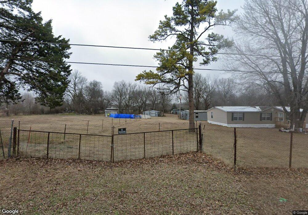
763 E 77th Place N Sperry, OK 74073
Estimated Value: $125,000 - $157,000
3
Beds
1
Bath
1,322
Sq Ft
$108/Sq Ft
Est. Value
About This Home
This home is located at 763 E 77th Place N, Sperry, OK 74073 and is currently estimated at $142,649, approximately $107 per square foot. 763 E 77th Place N is a home with nearby schools including Monroe Demonstration Academy, McLain High School of Science and Technology, and Tulsa Legacy Charter School.
Ownership History
Date
Name
Owned For
Owner Type
Purchase Details
Closed on
Jun 25, 2015
Sold by
Clarke Saffell Betty A and Saffell Danny R
Bought by
Clarke Saffell Betty A and Saffell Danny R
Current Estimated Value
Purchase Details
Closed on
Aug 9, 2002
Sold by
Citibank Na
Bought by
Clarke Betty A
Purchase Details
Closed on
May 2, 2002
Sold by
Hudson William
Bought by
Citibank Na
Purchase Details
Closed on
Mar 7, 2000
Sold by
Hicks Richard and Hawks Bob
Bought by
Hudson William
Purchase Details
Closed on
May 29, 1998
Sold by
Hudson William
Bought by
Hicks Richard and Hawks Bob
Create a Home Valuation Report for This Property
The Home Valuation Report is an in-depth analysis detailing your home's value as well as a comparison with similar homes in the area
Purchase History
| Date | Buyer | Sale Price | Title Company |
|---|---|---|---|
| Clarke Saffell Betty A | -- | Timios | |
| Clarke Betty A | $22,000 | Tulsa Abstract & Title Co | |
| Citibank Na | $31,967 | -- | |
| Hudson William | -- | -- | |
| Hicks Richard | $14,000 | -- | |
| Hudson William | $14,000 | -- |
Source: Public Records
Tax History
| Year | Tax Paid | Tax Assessment Tax Assessment Total Assessment is a certain percentage of the fair market value that is determined by local assessors to be the total taxable value of land and additions on the property. | Land | Improvement |
|---|---|---|---|---|
| 2025 | $586 | $5,232 | $702 | $4,530 |
| 2024 | $584 | $5,232 | $702 | $4,530 |
| 2023 | $584 | $6,232 | $836 | $5,396 |
| 2022 | $594 | $5,232 | $702 | $4,530 |
| 2021 | $632 | $5,664 | $711 | $4,953 |
| 2020 | $637 | $5,664 | $711 | $4,953 |
| 2019 | $651 | $5,664 | $711 | $4,953 |
| 2018 | $652 | $5,664 | $711 | $4,953 |
| 2017 | $649 | $6,663 | $836 | $5,827 |
Source: Public Records
Map
Nearby Homes
- 1712 E 71st St N
- 8588 N Cincinnati Ave
- 1407 E 66th St N
- 5608 N Garrison Ave
- 6501 N Quaker Ave
- 2012 W 88th St N
- 6365 N Denver Ave
- 6340 N Denver Ave
- 9610 N Peoria Ave
- 320 W 63rd Place N
- 5918 N Quincy Ave
- 557 E 59th St N
- 0 Sunset Unit 2544339
- 0 Sunset Unit 2544356
- 299 W Cherry
- 405 S 4th St
- 5635 N Peoria Ave
- 313 W Birch Place
- 9507 N Osage Dr
- 26 W Ash St
- 756 E 77th Place N
- 945 E 77th Place N
- 0 77th St Unit 1549765
- 7720 N Madison Ave
- 7718 N Madison Ave
- 7721 N Madison Ave
- 723 E 77th Place N
- 720 E 77th Place N
- 7715 N Madison Ave
- 1104 E 78th St N
- 716 E 77th Place N
- 717-723+ E 77th Place N
- 717 E 77th Place N
- 7701 N Madison Ave
- 7648 N Madison Ave
- 801 E 76th St N
- 7719 N Hartford Ave
- 7602 N Madison Ave
- 799 E 76th St N
- 1001 E 76th St N
Your Personal Tour Guide
Ask me questions while you tour the home.