763 Fairgrounds Rd Mount Ida, AR 71957
Estimated Value: $345,000 - $384,000
Studio
2
Baths
2,080
Sq Ft
$176/Sq Ft
Est. Value
About This Home
This home is located at 763 Fairgrounds Rd, Mount Ida, AR 71957 and is currently estimated at $366,539, approximately $176 per square foot. 763 Fairgrounds Rd is a home located in Montgomery County with nearby schools including Bobby Barrett Elementary and Mount Ida High School.
Ownership History
Date
Name
Owned For
Owner Type
Purchase Details
Closed on
Nov 24, 2015
Bought by
Shields Benjamin L and Shields Nora Faye
Current Estimated Value
Purchase Details
Closed on
Jan 10, 2003
Bought by
Shields Benjamin L and Shields Nora
Purchase Details
Closed on
Dec 17, 2002
Bought by
Shields Benjamin L and Shields Nora
Purchase Details
Closed on
May 28, 1996
Bought by
Shields Benjamin L and Shields Nora
Purchase Details
Closed on
Nov 19, 1990
Bought by
Thomas Ii Jimmie O'Neal
Purchase Details
Closed on
Oct 25, 1988
Bought by
Robbins Robert
Purchase Details
Closed on
Jan 1, 1910
Bought by
Stanley Patsy
Create a Home Valuation Report for This Property
The Home Valuation Report is an in-depth analysis detailing your home's value as well as a comparison with similar homes in the area
Purchase History
| Date | Buyer | Sale Price | Title Company |
|---|---|---|---|
| Shields Benjamin L | -- | -- | |
| Shields Benjamin L | -- | -- | |
| Shields Benjamin L | $4,000 | -- | |
| Shields Benjamin L | $15,000 | -- | |
| Thomas Ii Jimmie O'Neal | $25,000 | -- | |
| Robbins Robert | -- | -- | |
| Stanley Patsy | -- | -- |
Source: Public Records
Tax History
| Year | Tax Paid | Tax Assessment Tax Assessment Total Assessment is a certain percentage of the fair market value that is determined by local assessors to be the total taxable value of land and additions on the property. | Land | Improvement |
|---|---|---|---|---|
| 2025 | $1,854 | $52,820 | $2,120 | $50,700 |
| 2024 | $1,712 | $52,820 | $2,120 | $50,700 |
| 2023 | $1,587 | $52,820 | $2,120 | $50,700 |
| 2022 | $1,443 | $34,110 | $3,080 | $31,030 |
| 2021 | $1,443 | $34,110 | $3,080 | $31,030 |
| 2020 | $1,443 | $34,110 | $3,080 | $31,030 |
| 2019 | $1,443 | $34,110 | $3,080 | $31,030 |
| 2018 | $1,443 | $34,110 | $3,080 | $31,030 |
| 2017 | $1,644 | $38,860 | $2,760 | $36,100 |
| 2016 | $1,644 | $38,860 | $2,760 | $36,100 |
| 2014 | $1,639 | $38,740 | $2,640 | $36,100 |
Source: Public Records
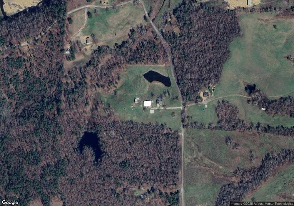
Map
Nearby Homes
- 360 Ar-27
- 260 Hall St
- 137 N Pine St
- 901 Highway 270 E
- 64 Judah Ln
- 139 Garden Dr
- 2383 Highway 270 E
- 301 Birch St
- 36 Wildlife Ln
- 2592 Highway 270 E
- 88 Circle Dr
- 15 Big Bear Rd
- 110 Lizard Ln
- 587 Owley Rd
- TBD Silver Point Dr
- 01 Yeaman Ln
- 163 Quail Run Ln
- 228 Fishing Village Rd Unit 36
- 228 Fishing Village Rd
- 90 Silver Point Dr
- 764 Fairgrounds Rd
- 71 Gales Ln
- 689 Fairgrounds Rd
- 943 Ball Park Rd
- 943 Ballpark Rd
- 943 Ballpark Rd
- 31 Hillbilly Trail
- 636 Fairgrounds Rd
- 576 Fairgrounds Rd
- 545 Fairgrounds Rd
- 4 Shady Valley
- 50? Las Vegas Blvd
- 101 Oakbrook Lane Southgate Subdivision
- 034 Pineview Estates
- 00 Lot 2 Denby Cove Subdivision
- 38 Mathews Hill
- 38 Mathews Hill Unit 32 & 33 Mathews Hill
- 145 Place Dr
- TBD Womble Silver Rd
- TBD Blackgum Ln
Your Personal Tour Guide
Ask me questions while you tour the home.