Estimated Value: $331,898 - $703,000
--
Bed
--
Bath
1
Sq Ft
$553,975/Sq Ft
Est. Value
About This Home
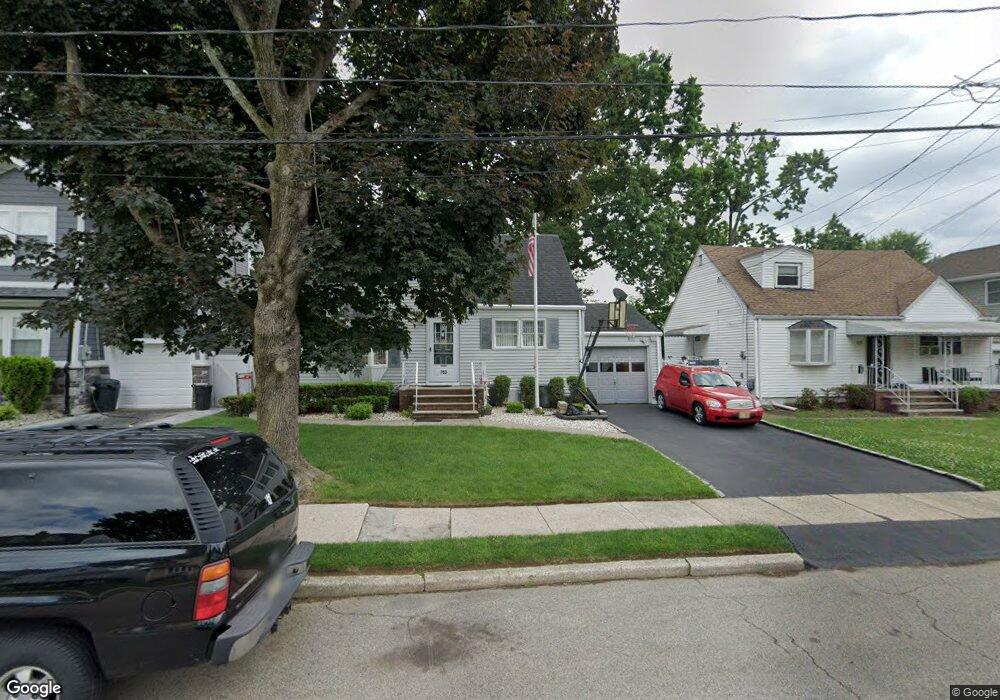
This home is located at 763 Hemlock Rd, Union, NJ 07083 and is currently estimated at $553,975, approximately $553,975 per square foot. 763 Hemlock Rd is a home located in Union County with nearby schools including Battle Hill Elementary School, Burnet Middle School, and Union High School.
Ownership History
Date
Name
Owned For
Owner Type
Purchase Details
Closed on
Dec 15, 2000
Sold by
Poles Norma L
Bought by
Chudzik Frank N and Chudzik Annie J
Current Estimated Value
Home Financials for this Owner
Home Financials are based on the most recent Mortgage that was taken out on this home.
Original Mortgage
$189,000
Outstanding Balance
$69,648
Interest Rate
7.7%
Mortgage Type
Purchase Money Mortgage
Estimated Equity
$484,327
Purchase Details
Closed on
Nov 6, 1997
Sold by
Poles Robert E and Poles Norma L
Bought by
Poles Norma L
Create a Home Valuation Report for This Property
The Home Valuation Report is an in-depth analysis detailing your home's value as well as a comparison with similar homes in the area
Home Values in the Area
Average Home Value in this Area
Purchase History
| Date | Buyer | Sale Price | Title Company |
|---|---|---|---|
| Chudzik Frank N | $199,000 | Chicago Title Insurance Co | |
| Poles Norma L | -- | -- |
Source: Public Records
Mortgage History
| Date | Status | Borrower | Loan Amount |
|---|---|---|---|
| Open | Chudzik Frank N | $189,000 |
Source: Public Records
Tax History Compared to Growth
Tax History
| Year | Tax Paid | Tax Assessment Tax Assessment Total Assessment is a certain percentage of the fair market value that is determined by local assessors to be the total taxable value of land and additions on the property. | Land | Improvement |
|---|---|---|---|---|
| 2025 | $9,544 | $42,700 | $20,500 | $22,200 |
| 2024 | $9,253 | $42,700 | $20,500 | $22,200 |
| 2023 | $9,253 | $42,700 | $20,500 | $22,200 |
| 2022 | $8,931 | $42,700 | $20,500 | $22,200 |
| 2021 | $8,715 | $42,700 | $20,500 | $22,200 |
| 2020 | $8,541 | $42,700 | $20,500 | $22,200 |
| 2019 | $8,426 | $42,700 | $20,500 | $22,200 |
| 2018 | $8,283 | $42,700 | $20,500 | $22,200 |
| 2017 | $8,160 | $42,700 | $20,500 | $22,200 |
| 2016 | $7,961 | $42,700 | $20,500 | $22,200 |
| 2015 | $7,829 | $42,700 | $20,500 | $22,200 |
| 2014 | $7,654 | $42,700 | $20,500 | $22,200 |
Source: Public Records
Map
Nearby Homes
- 798 Pinewood Rd
- 105 Battle Hill Ave
- 2670 Bancroft Ave
- 97 Battle Hill Ave
- 238 Riverside Dr
- 67 Battle Hill Ave
- 960 Moessner Ave
- 6 Joanne Way
- 980 Moessner Ave
- 30 Washington Ave
- 2636 Frederick Terrace
- 73 S Maple Ave
- 656 Garden St
- 2785 Larchmont Rd
- 1042 Battle Hill Terrace
- 19 Warner Ave
- 1071 Battle Hill Terrace
- 20 Maple Ave
- 17 Alvin Terrace
- 888 Peach Tree Rd