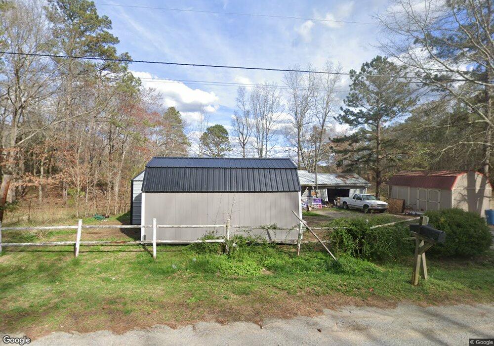
763 High Point Rd Buchanan, GA 30113
Estimated Value: $219,000 - $303,000
2
Beds
2
Baths
1,935
Sq Ft
$130/Sq Ft
Est. Value
About This Home
This home is located at 763 High Point Rd, Buchanan, GA 30113 and is currently estimated at $251,333, approximately $129 per square foot. 763 High Point Rd is a home located in Haralson County with nearby schools including Haralson County High School.
Ownership History
Date
Name
Owned For
Owner Type
Purchase Details
Closed on
Sep 26, 2008
Sold by
Not Provided
Bought by
Speir John C
Current Estimated Value
Purchase Details
Closed on
Jun 13, 2003
Sold by
Citibank N A
Bought by
Speir John C
Purchase Details
Closed on
Mar 4, 2003
Sold by
Labo John R and Sheila Lynn
Bought by
Citibank N A
Purchase Details
Closed on
Dec 14, 1998
Sold by
Labo John R
Bought by
Labo John R and Sheila Lynn
Purchase Details
Closed on
Feb 2, 1998
Sold by
Lee Robert E
Bought by
Labo John R
Purchase Details
Closed on
May 8, 1997
Sold by
Lee Robert E
Bought by
Labo John R
Create a Home Valuation Report for This Property
The Home Valuation Report is an in-depth analysis detailing your home's value as well as a comparison with similar homes in the area
Purchase History
| Date | Buyer | Sale Price | Title Company |
|---|---|---|---|
| Speir John C | -- | -- | |
| Speir John C | $28,500 | -- | |
| Citibank N A | -- | -- | |
| Labo John R | -- | -- | |
| Labo John R | -- | -- | |
| Labo John R | $17,000 | -- |
Source: Public Records
Tax History
| Year | Tax Paid | Tax Assessment Tax Assessment Total Assessment is a certain percentage of the fair market value that is determined by local assessors to be the total taxable value of land and additions on the property. | Land | Improvement |
|---|---|---|---|---|
| 2025 | $546 | $63,612 | $7,424 | $56,188 |
| 2024 | $546 | $23,046 | $3,400 | $19,646 |
| 2023 | $233 | $26,917 | $3,400 | $23,517 |
| 2022 | $618 | $25,057 | $3,400 | $21,657 |
| 2021 | $616 | $24,045 | $3,400 | $20,645 |
| 2020 | $651 | $25,206 | $3,400 | $21,806 |
| 2019 | $297 | $12,186 | $3,400 | $8,786 |
| 2018 | $301 | $12,186 | $3,400 | $8,786 |
| 2017 | $247 | $9,582 | $3,400 | $6,182 |
| 2016 | $474 | $17,472 | $3,400 | $14,072 |
| 2015 | $471 | $17,373 | $3,400 | $13,973 |
| 2014 | $464 | $17,387 | $3,400 | $13,987 |
Source: Public Records
Map
Nearby Homes
- 901 Tallapoosa East Church Rd
- 616 Wells Rd
- 0 Ga Highway 120 - 2 Acres
- 366 Tallapoosa East Church Rd
- 40 Red Oak Cir
- 101 3rd Ave
- 4008 Georgia 120
- 731 Seabreeze Lake Rd
- 735 Seabreeze Lake Rd
- 0 Corinth Five Points Rd Unit 10704513
- 0 Pope Rd
- 327 Jeffers Rd
- 62 Joe Rowell Rd
- 315 Carrollton St
- 143 Addie Jane Ln
- 109 Pope Rd
- 0000 Corinth-Five Points Rd
- 0 Tallapoosa St Unit 10688421
- 65 Magnolia St
- 0 Hwy 120 Hwy 27 - 19 15 Acres Unit 7666058
- 764 High Point Rd
- 767 High Point Rd
- 731 High Point Rd
- 695 High Point Rd
- 1063 Tallapoosa East Church Rd
- 1067 Tallapoosa East Church Rd
- 680 High Point Rd
- 963 Tallapoosa East Church Rd
- 43 Club Rd
- 00001 Club Rd
- 665 High Point Rd
- 0 High Point Rd Unit 6071 8235261
- 0 High Point Rd Unit 7537857
- 1054 Tallapoosa East Church Rd
- 32 Club Rd
- 663 High Point Rd
- 656 High Point Rd
- 959 Tallapoosa East Church Rd
- 957 Tallapoosa East Church Rd
- 202 Hubble Rd
Your Personal Tour Guide
Ask me questions while you tour the home.