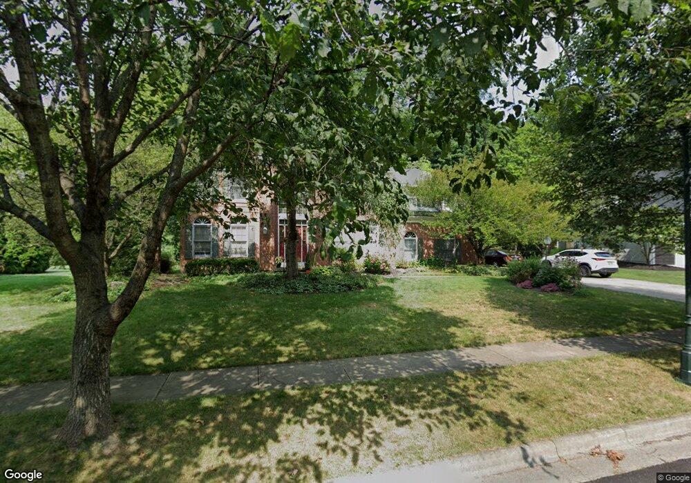
763 Line Way Columbus, OH 43230
Estimated Value: $599,000 - $673,000
5
Beds
3
Baths
3,216
Sq Ft
$196/Sq Ft
Est. Value
About This Home
This home is located at 763 Line Way, Columbus, OH 43230 and is currently estimated at $630,875, approximately $196 per square foot. 763 Line Way is a home located in Franklin County with nearby schools including High Point Elementary School, Gahanna East Middle School, and Lincoln High School.
Ownership History
Date
Name
Owned For
Owner Type
Purchase Details
Closed on
May 22, 2006
Sold by
Blank Richard B and Blank Kimberly E
Bought by
Holt David L and Holt Jamie E
Current Estimated Value
Home Financials for this Owner
Home Financials are based on the most recent Mortgage that was taken out on this home.
Original Mortgage
$294,400
Interest Rate
6.62%
Mortgage Type
Fannie Mae Freddie Mac
Purchase Details
Closed on
Dec 23, 1992
Bought by
Blank Richard B
Purchase Details
Closed on
Aug 26, 1992
Create a Home Valuation Report for This Property
The Home Valuation Report is an in-depth analysis detailing your home's value as well as a comparison with similar homes in the area
Home Values in the Area
Average Home Value in this Area
Purchase History
| Date | Buyer | Sale Price | Title Company |
|---|---|---|---|
| Holt David L | $368,000 | Stewart Tit | |
| Blank Richard B | $46,600 | -- | |
| -- | -- | -- |
Source: Public Records
Mortgage History
| Date | Status | Borrower | Loan Amount |
|---|---|---|---|
| Previous Owner | Holt David L | $294,400 |
Source: Public Records
Tax History Compared to Growth
Tax History
| Year | Tax Paid | Tax Assessment Tax Assessment Total Assessment is a certain percentage of the fair market value that is determined by local assessors to be the total taxable value of land and additions on the property. | Land | Improvement |
|---|---|---|---|---|
| 2024 | $11,938 | $202,650 | $38,220 | $164,430 |
| 2023 | $11,789 | $202,650 | $38,220 | $164,430 |
| 2022 | $12,941 | $173,290 | $32,940 | $140,350 |
| 2021 | $11,126 | $154,040 | $32,940 | $121,100 |
| 2020 | $11,032 | $154,040 | $32,940 | $121,100 |
| 2019 | $9,234 | $128,660 | $27,440 | $101,220 |
| 2018 | $8,689 | $128,660 | $27,440 | $101,220 |
| 2017 | $8,339 | $128,660 | $27,440 | $101,220 |
| 2016 | $8,203 | $113,410 | $24,540 | $88,870 |
| 2015 | $8,209 | $113,410 | $24,540 | $88,870 |
| 2014 | $8,146 | $113,410 | $24,540 | $88,870 |
| 2013 | $4,045 | $113,400 | $24,535 | $88,865 |
Source: Public Records
Map
Nearby Homes
- 900 Old Pine Dr
- 804 Riva Ridge Blvd
- 638 Churchill Dr
- 777 Dark Star Ave
- 1035 Riva Ridge Blvd
- 477 Stratshire Ln
- 641 Sycamore Mill Dr
- 4220 E Johnstown Rd
- 0 Beecher Crossing
- 4444 Shull Rd
- 636 Grove Cir Unit 1803
- 819 Windward Way Unit 19819
- 4651 E Johnstown Rd
- 365 Sycamore Woods Ln Unit 365
- 597 Piney Glen Dr Unit 597
- 302 Zander Ln Unit 302
- 4574 N Hamilton Rd
- 211 Crossing Creek N
- 6263 Wagtail Rd Unit 13
- 1210 Whispering Meadow Ct
- 773 Line Way
- 751 Line Way
- 714 Ulverston Dr
- 704 Ulverston Dr
- 658 Ulverston Dr
- 879 Aylesbury Dr
- 867 Aylesbury Dr
- 648 Ulverston Dr
- 758 Line Way
- 768 Line Way
- 15 Ulverston Dr
- 857 Aylesbury Dr
- 780 Line Way
- 696 Ulverston Dr
- 748 Line Way
- 725 Ulverston Dr
- 715 Ulverston Dr
- 845 Aylesbury Dr
- 705 Ulverston Dr
- 794 Line Way