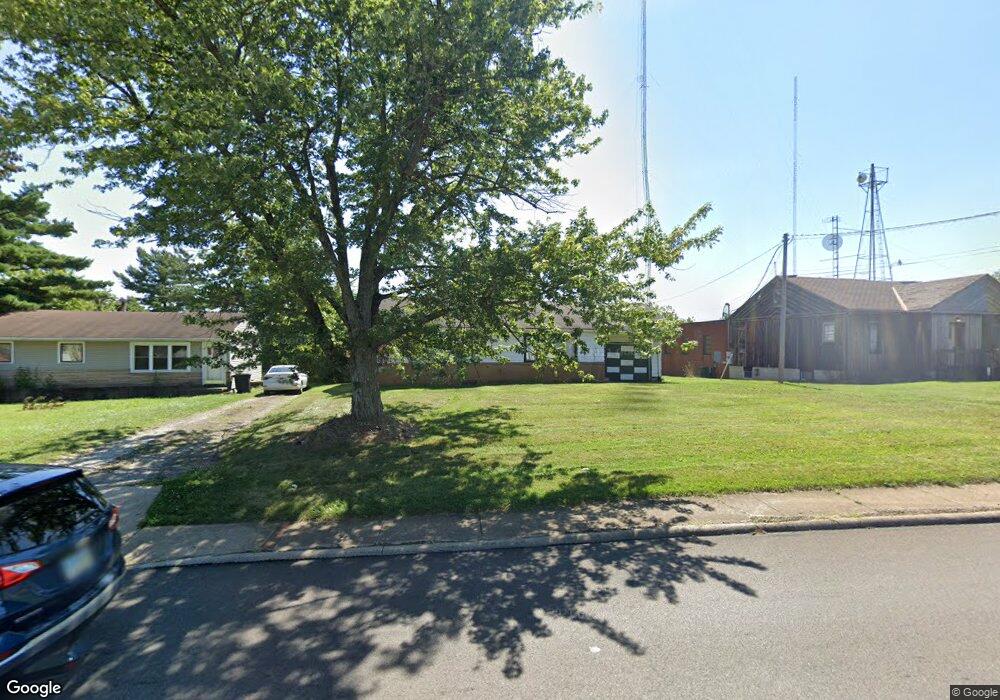
763 Mcpherson St Mansfield, OH 44903
Estimated Value: $48,000 - $243,104
3
Beds
1
Bath
1,040
Sq Ft
$139/Sq Ft
Est. Value
About This Home
This home is located at 763 Mcpherson St, Mansfield, OH 44903 and is currently estimated at $144,526, approximately $138 per square foot. 763 Mcpherson St is a home located in Richland County with nearby schools including Foundation Academy, Mansfield Elective Academy, and Goal Digital Academy.
Ownership History
Date
Name
Owned For
Owner Type
Purchase Details
Closed on
Sep 22, 2023
Sold by
Iheartmedia Entertainment Inc
Bought by
Vertical Bridge Towers Iv Llc
Current Estimated Value
Purchase Details
Closed on
Oct 3, 2000
Sold by
Faircom Mansfield Inc
Bought by
Capstar Radio Operating Co
Purchase Details
Closed on
Jul 1, 1997
Sold by
Treasure Radio Assoc Ltd
Bought by
Faircom Mansfield Inc
Create a Home Valuation Report for This Property
The Home Valuation Report is an in-depth analysis detailing your home's value as well as a comparison with similar homes in the area
Home Values in the Area
Average Home Value in this Area
Purchase History
| Date | Buyer | Sale Price | Title Company |
|---|---|---|---|
| Vertical Bridge Towers Iv Llc | $23,925 | Titlevest | |
| Capstar Radio Operating Co | $167,000 | -- | |
| Faircom Mansfield Inc | $300,000 | -- |
Source: Public Records
Tax History Compared to Growth
Tax History
| Year | Tax Paid | Tax Assessment Tax Assessment Total Assessment is a certain percentage of the fair market value that is determined by local assessors to be the total taxable value of land and additions on the property. | Land | Improvement |
|---|---|---|---|---|
| 2024 | $4,664 | $67,320 | $26,310 | $41,010 |
| 2023 | $4,664 | $67,320 | $26,310 | $41,010 |
| 2022 | $4,829 | $60,100 | $23,920 | $36,180 |
| 2021 | $4,851 | $60,100 | $23,920 | $36,180 |
| 2020 | $4,925 | $60,100 | $23,920 | $36,180 |
| 2019 | $5,152 | $60,100 | $23,920 | $36,180 |
| 2018 | $5,129 | $60,100 | $23,920 | $36,180 |
| 2017 | $5,042 | $60,100 | $23,920 | $36,180 |
| 2016 | $5,084 | $59,660 | $23,920 | $35,740 |
| 2015 | $4,884 | $59,660 | $23,920 | $35,740 |
| 2014 | $1,803 | $22,270 | $3,360 | $18,910 |
| 2012 | $745 | $22,270 | $3,360 | $18,910 |
Source: Public Records
Map
Nearby Homes
- 0 State Route 314 Unit 9069650
- 0 State Route 314 Unit 9067316
- 0 State Route 314 Unit 225021979
- 641 Averill Ave
- 269 Parkway Dr
- 512 Burns St
- 237 Helen Ave
- 480 Mcpherson St
- 170 Western Ave
- 340 Boston Ave
- 741 Burger Ave
- 450 Tracy St
- 0 W Fourth St - Trimble Lenox
- 0 Highway 30
- 426 Mcpherson St
- 185 Rowland Ave
- 212 Penn Ave
- 96 Helen Ave
- 120 Gettings Place
- 1168 & 1171 Seminole Ave
- 761 Mcpherson St
- 790 Mcpherson St
- 768 Mcpherson St
- 759 Mcpherson St
- 792 Mcpherson St
- 793 Mcpherson St
- 766 Mcpherson St
- 756 Mcpherson St
- 481 Allison Ave
- 799 Mcpherson St
- 794 Mcpherson St
- 487 Allison Ave
- 754 Mcpherson St
- 466 Allison Ave
- 491 Allison Ave
- 472 Allison Ave
- 808 Mcpherson St
- 791 Floral Ct
- 809 Mcpherson St
- 743 Mcpherson St