763 Peel Rd Shirley, AR 72153
Estimated Value: $231,000 - $352,000
Studio
2
Baths
1,824
Sq Ft
$164/Sq Ft
Est. Value
About This Home
This home is located at 763 Peel Rd, Shirley, AR 72153 and is currently estimated at $298,933, approximately $163 per square foot. 763 Peel Rd is a home located in Van Buren County with nearby schools including Shirley Elementary School and Shirley High School.
Ownership History
Date
Name
Owned For
Owner Type
Purchase Details
Closed on
Jan 25, 2021
Sold by
Gray Debbie
Bought by
Hamilton Cove Townhouse Property Owners Assoc
Current Estimated Value
Purchase Details
Closed on
Jan 28, 2020
Sold by
Holland Tyler W and Holland Whitney L
Bought by
Gray Jeff and Gray Debbie
Purchase Details
Closed on
Dec 30, 2004
Bought by
Survey 20 and Survey 916Ac
Purchase Details
Closed on
Jul 28, 2004
Bought by
Gray
Create a Home Valuation Report for This Property
The Home Valuation Report is an in-depth analysis detailing your home's value as well as a comparison with similar homes in the area
Purchase History
| Date | Buyer | Sale Price | Title Company |
|---|---|---|---|
| Hamilton Cove Townhouse Property Owners Assoc | $5,955,906 | None Listed On Document | |
| Gray Jeff | $11,660 | None Available | |
| Survey 20 | -- | -- | |
| Survey 10 | -- | -- | |
| Gray | -- | -- |
Source: Public Records
Tax History Compared to Growth
Tax History
| Year | Tax Paid | Tax Assessment Tax Assessment Total Assessment is a certain percentage of the fair market value that is determined by local assessors to be the total taxable value of land and additions on the property. | Land | Improvement |
|---|---|---|---|---|
| 2024 | $783 | $28,780 | $1,540 | $27,240 |
| 2023 | $858 | $28,780 | $1,540 | $27,240 |
| 2022 | $908 | $28,780 | $1,540 | $27,240 |
| 2021 | $908 | $28,780 | $1,540 | $27,240 |
| 2020 | $885 | $28,780 | $1,540 | $27,240 |
| 2019 | $826 | $26,850 | $1,260 | $25,590 |
| 2018 | $826 | $26,850 | $1,260 | $25,590 |
| 2017 | $1,138 | $26,850 | $1,260 | $25,590 |
| 2015 | -- | $30,320 | $1,220 | $29,100 |
| 2014 | -- | $30,320 | $1,220 | $29,100 |
| 2013 | -- | $30,320 | $1,220 | $29,100 |
Source: Public Records
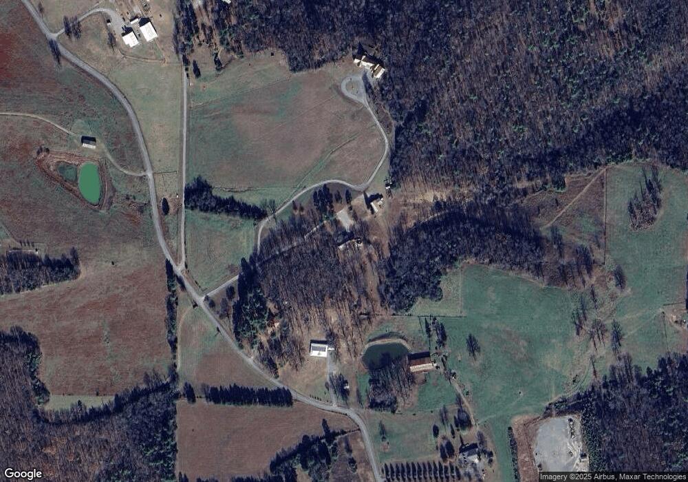
Map
Nearby Homes
- 4638 Highway 16 E
- 2556 Oakland Rd
- 1307 Dodd Mountain Rd
- 0 Holly Mountain Rd Unit 1308680
- 0001 Dodd Mountain Rd
- 0 Dodd Mountain Rd
- Lot 75 Mustang Dr
- Lot 77 Mustang Dr
- Lot 23 Mustang Dr
- Lot 76 Mustang Dr
- Lot 60R Holley Mountain Airpark
- Lot 1 Phil Ln
- 00 Riverbend Dr
- 5000 Shady Grove Rd
- 000 Highway 330 S
- 147 Memory Ln
- 6575 Banner Mountain Rd
- 5225 Burnt Ridge Rd
- 1787 Overton Rd
- 310 Memory Ln
- 831 Peel Rd
- 919 Peel Rd
- 0 Peel Rd
- 765 Peel Rd
- 933 Peel Rd
- 675 Peel Rd
- 321 Peel Rd
- 1024 Peel Rd
- 312 Peel Rd
- 858 Burnt Ridge Rd
- 571 Gerald's Ln
- 1203 Peel Rd
- 269 Peel Rd
- 4632 Highway 16 E
- 1719 Banner Mountain Rd
- 2243 Banner Mountain Rd
- 1657 Banner Mountain Rd
- 2186 Banner Mountain Rd
- 1998 Banner Mountain Rd
- 5794 Highway 16 E