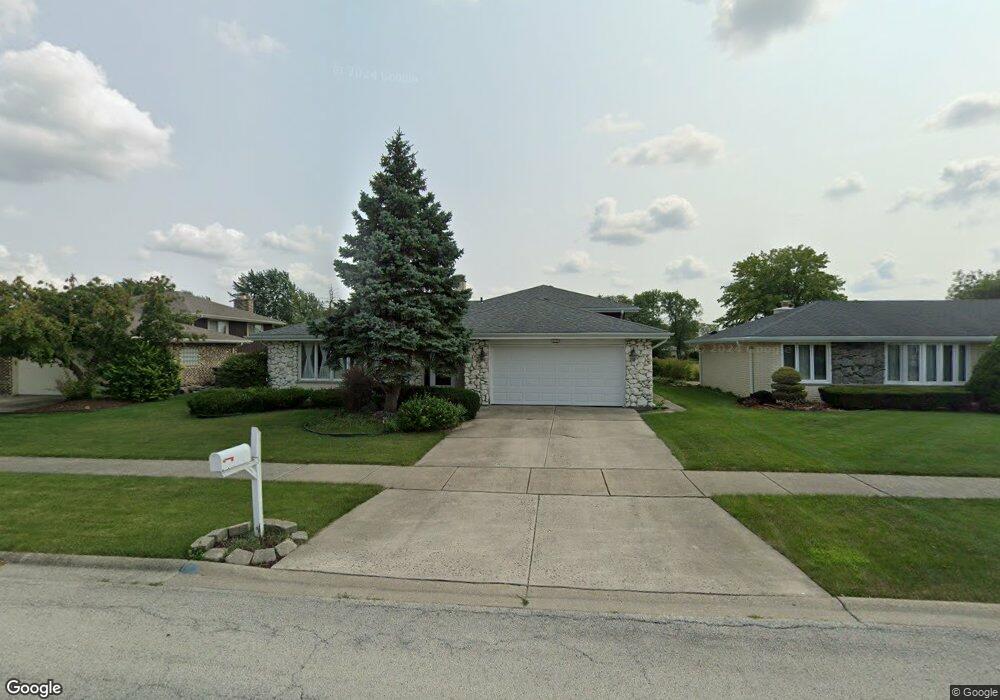
7631 Chestnut Dr Orland Park, IL 60462
Silver Lake South NeighborhoodEstimated Value: $425,000 - $448,000
4
Beds
3
Baths
1,765
Sq Ft
$246/Sq Ft
Est. Value
About This Home
This home is located at 7631 Chestnut Dr, Orland Park, IL 60462 and is currently estimated at $434,888, approximately $246 per square foot. 7631 Chestnut Dr is a home located in Cook County with nearby schools including Arnold W Kruse Education Center, Central Middle School, and Victor J Andrew High School.
Ownership History
Date
Name
Owned For
Owner Type
Purchase Details
Closed on
Jul 29, 1997
Sold by
Beltz William M and Beltz Karen B
Bought by
Humphrey Therese L
Current Estimated Value
Home Financials for this Owner
Home Financials are based on the most recent Mortgage that was taken out on this home.
Original Mortgage
$158,200
Outstanding Balance
$24,068
Interest Rate
7.71%
Estimated Equity
$410,820
Create a Home Valuation Report for This Property
The Home Valuation Report is an in-depth analysis detailing your home's value as well as a comparison with similar homes in the area
Home Values in the Area
Average Home Value in this Area
Purchase History
| Date | Buyer | Sale Price | Title Company |
|---|---|---|---|
| Humphrey Therese L | $230,000 | -- |
Source: Public Records
Mortgage History
| Date | Status | Borrower | Loan Amount |
|---|---|---|---|
| Open | Humphrey Therese L | $158,200 |
Source: Public Records
Tax History Compared to Growth
Tax History
| Year | Tax Paid | Tax Assessment Tax Assessment Total Assessment is a certain percentage of the fair market value that is determined by local assessors to be the total taxable value of land and additions on the property. | Land | Improvement |
|---|---|---|---|---|
| 2024 | $9,837 | $37,000 | $6,525 | $30,475 |
| 2023 | $7,980 | $37,000 | $6,525 | $30,475 |
| 2022 | $7,980 | $25,792 | $5,742 | $20,050 |
| 2021 | $8,231 | $26,876 | $5,742 | $21,134 |
| 2020 | $8,266 | $26,876 | $5,742 | $21,134 |
| 2019 | $8,686 | $28,270 | $5,220 | $23,050 |
| 2018 | $8,505 | $28,270 | $5,220 | $23,050 |
| 2017 | $8,336 | $28,270 | $5,220 | $23,050 |
| 2016 | $7,566 | $23,954 | $4,698 | $19,256 |
| 2015 | $7,432 | $23,954 | $4,698 | $19,256 |
| 2014 | $7,349 | $23,954 | $4,698 | $19,256 |
| 2013 | $7,275 | $25,599 | $4,698 | $20,901 |
Source: Public Records
Map
Nearby Homes
- 7747 Cashew Dr
- 7825 Braeloch Ct
- 15346 Heather Ct
- 7732 W 158th Ct Unit 7732
- 7842 Sea Pines Rd
- 7823 W 157th Place Unit 1W
- 15337 Heather Ct
- 7405 W 157th St
- 7911 W 157th St Unit 2W
- 15662 Wild Rose Ln Unit 12
- 15340 Aubrieta Ln Unit 52
- 15602 Violet Ct Unit 31
- 16447 S 76th Ave
- 15543 Brassie Dr
- 7712 Sequoia Ct
- 7686 159th Place Unit 38
- 15253 S 74th Ct Unit 42
- 15262 S 74th Ave Unit 36
- 15713 Brassie Ct Unit 1S
- 7809 Sycamore Dr
- 7639 Chestnut Dr
- 7625 Chestnut Dr
- 7647 Chestnut Dr
- 15558 Larkspur Ln
- 15600 Larkspur Ln
- 7632 Chestnut Dr
- 7638 Chestnut Dr
- 7653 Chestnut Dr
- 7646 Chestnut Dr
- 15544 Larkspur Ln
- 15614 Larkspur Ln
- 7661 Chestnut Dr
- 15622 Larkspur Ln
- 15536 Larkspur Ln
- 7631 Wheeler Dr Unit 4
- 7625 Wheeler Dr
- 7639 Wheeler Dr
- 7660 Chestnut Dr
- 7647 Wheeler Dr
- 7701 Chestnut Dr