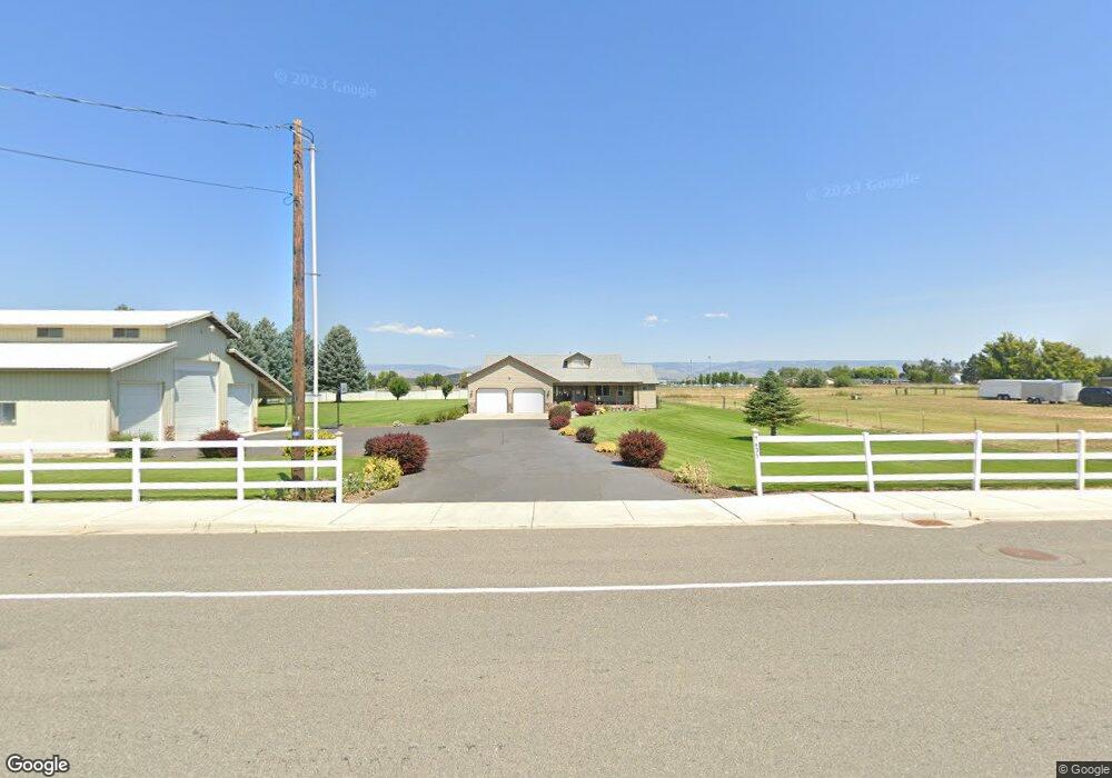
7631 Kittitas Hwy Ellensburg, WA 98926
Estimated Value: $674,519 - $881,000
--
Bed
2
Baths
1,973
Sq Ft
$384/Sq Ft
Est. Value
About This Home
This home is located at 7631 Kittitas Hwy, Ellensburg, WA 98926 and is currently estimated at $757,880, approximately $384 per square foot. 7631 Kittitas Hwy is a home located in Kittitas County with nearby schools including Kittitas Elementary School and Kittitas High School.
Ownership History
Date
Name
Owned For
Owner Type
Purchase Details
Closed on
May 24, 2013
Sold by
Allphin Dale L and Allphin Marjorie D
Bought by
White Ronald W and White Linda F
Current Estimated Value
Purchase Details
Closed on
Oct 6, 2009
Sold by
Allphin Dale L and Allphin Marjorie D
Bought by
Allphin Dale L and Allphin Marjorie D
Purchase Details
Closed on
Feb 7, 2005
Sold by
Rogers Paul
Bought by
Allphin Dale and Allphin Marjorie
Home Financials for this Owner
Home Financials are based on the most recent Mortgage that was taken out on this home.
Original Mortgage
$206,550
Interest Rate
5.81%
Mortgage Type
Adjustable Rate Mortgage/ARM
Create a Home Valuation Report for This Property
The Home Valuation Report is an in-depth analysis detailing your home's value as well as a comparison with similar homes in the area
Home Values in the Area
Average Home Value in this Area
Purchase History
| Date | Buyer | Sale Price | Title Company |
|---|---|---|---|
| White Ronald W | $300,000 | Stewart Title Of Kittitas Co | |
| Allphin Dale L | -- | None Available | |
| Allphin Dale | $242,673 | Stewart Title |
Source: Public Records
Mortgage History
| Date | Status | Borrower | Loan Amount |
|---|---|---|---|
| Previous Owner | Allphin Dale | $206,550 |
Source: Public Records
Tax History Compared to Growth
Tax History
| Year | Tax Paid | Tax Assessment Tax Assessment Total Assessment is a certain percentage of the fair market value that is determined by local assessors to be the total taxable value of land and additions on the property. | Land | Improvement |
|---|---|---|---|---|
| 2025 | $203 | $581,250 | $137,700 | $443,550 |
| 2023 | $4,944 | $552,870 | $112,700 | $440,170 |
| 2022 | $4,457 | $465,560 | $67,700 | $397,860 |
| 2021 | $4,163 | $408,260 | $67,700 | $340,560 |
| 2019 | $3,179 | $329,550 | $41,620 | $287,930 |
| 2018 | $3,086 | $296,360 | $41,620 | $254,740 |
| 2017 | $3,017 | $296,360 | $41,620 | $254,740 |
| 2016 | $2,595 | $264,660 | $46,820 | $217,840 |
| 2015 | $2,682 | $264,660 | $46,820 | $217,840 |
| 2013 | -- | $264,660 | $46,820 | $217,840 |
Source: Public Records
Map
Nearby Homes
- 208 N King St
- 600 N Pierce St
- 220 N Main St
- 1111 Jennie Cir
- 120 Hazel Ln
- 371 Hazel Ln
- 3100 Roan Dr
- 4581 Kittitas Hwy
- 2 XX Lyons Rd
- 3 xx Lyons Rd
- 1 xx Lyons Rd
- 1 Walker Dr
- 4 XX Walker Dr
- 407 Walker Dr
- 1 XX Fairview Rd
- 1210 Takhoma Farm Rd
- 1210 Takhoma Farm Ln
- 2520 Number 6 Rd
- 101 Wilson Creek Rd Unit 59
- Yellowstone Plan at The Landing
- 307 Benton St
- 306 Benton St
- 304 N Benton St
- 304 Benton St
- 602 W Patrick Ave
- 305 N Benton St
- 511 Patrick Ave
- 303 Benton St
- 302 Benton St
- 303 N Mason St
- 7520 Kittitas Hwy
- 300 Benton St
- 403 N Mason St
- 301 Mason St
- 405 N Mason St
- 401 N Mason St
- 304 N Mason St
- 7480 Kittitas Hwy
- 302 N Mason St
- 209 Benton St