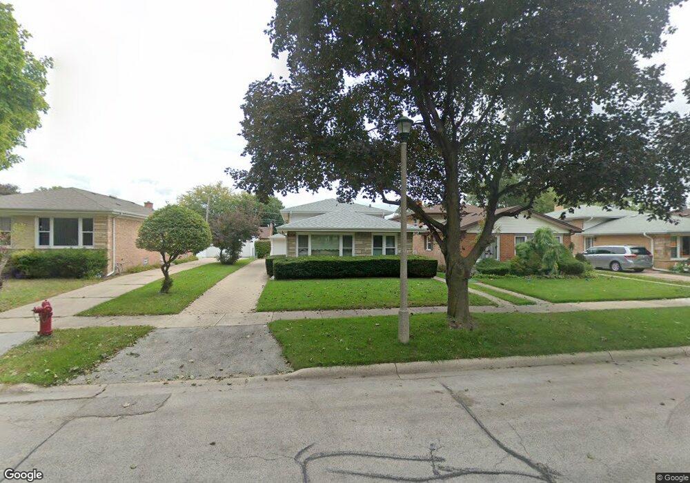
7631 Long Ave Skokie, IL 60077
Southwest Skokie NeighborhoodEstimated Value: $406,000 - $451,000
3
Beds
2
Baths
1,128
Sq Ft
$378/Sq Ft
Est. Value
About This Home
This home is located at 7631 Long Ave, Skokie, IL 60077 and is currently estimated at $426,033, approximately $377 per square foot. 7631 Long Ave is a home located in Cook County with nearby schools including Fairview South Elementary School, Niles West High School, and Cheder Lubavitch Hebrew Day School.
Ownership History
Date
Name
Owned For
Owner Type
Purchase Details
Closed on
Jul 23, 2024
Sold by
William S And Dorothy G Yablon Living Tr and Dorothy G Yablon Family Trust
Bought by
Harry J Yablons Exempt Trust
Current Estimated Value
Purchase Details
Closed on
Mar 17, 2009
Sold by
Yablon William S
Bought by
Dorothy G Yablon Family Trust
Purchase Details
Closed on
Dec 5, 2006
Sold by
Yablon William S and Yablon Dorothy G
Bought by
William S & Dorothy G Yablon Living Tr
Create a Home Valuation Report for This Property
The Home Valuation Report is an in-depth analysis detailing your home's value as well as a comparison with similar homes in the area
Home Values in the Area
Average Home Value in this Area
Purchase History
| Date | Buyer | Sale Price | Title Company |
|---|---|---|---|
| Harry J Yablons Exempt Trust | -- | None Listed On Document | |
| Dorothy G Yablon Family Trust | -- | None Available | |
| William S & Dorothy G Yablon Living Tr | -- | None Available |
Source: Public Records
Tax History Compared to Growth
Tax History
| Year | Tax Paid | Tax Assessment Tax Assessment Total Assessment is a certain percentage of the fair market value that is determined by local assessors to be the total taxable value of land and additions on the property. | Land | Improvement |
|---|---|---|---|---|
| 2024 | $7,338 | $33,272 | $6,448 | $26,824 |
| 2023 | $7,079 | $37,000 | $6,448 | $30,552 |
| 2022 | $7,079 | $37,000 | $6,448 | $30,552 |
| 2021 | $3,647 | $28,050 | $3,968 | $24,082 |
| 2020 | $3,245 | $28,050 | $3,968 | $24,082 |
| 2019 | $3,287 | $31,517 | $3,968 | $27,549 |
| 2018 | $3,664 | $27,488 | $3,596 | $23,892 |
| 2017 | $3,634 | $27,488 | $3,596 | $23,892 |
| 2016 | $4,165 | $27,488 | $3,596 | $23,892 |
| 2015 | $4,717 | $22,618 | $3,100 | $19,518 |
| 2014 | $4,464 | $22,618 | $3,100 | $19,518 |
| 2013 | $4,642 | $22,618 | $3,100 | $19,518 |
Source: Public Records
Map
Nearby Homes
- 5261 Mulford St
- 5500 Harvard Terrace
- 7507 Frontage Rd
- 5501 Mulford St
- 5153 Dobson St
- 7500 Laramie Ave
- 5251 Galitz St Unit 410
- 5251 Galitz St Unit 311
- 5207 Galitz St
- 7848 Lincoln Ave
- 5505 Oakton St
- 5037 Fargo Ave
- 7748 Lincoln Ave
- 4931 Brummel St
- 4944 Jarvis Ave
- 4953 Oakton St Unit 510
- 4953 Oakton St Unit P11
- 4953 Oakton St Unit 207
- 4907 Hull St
- 4838 Howard St Unit 301