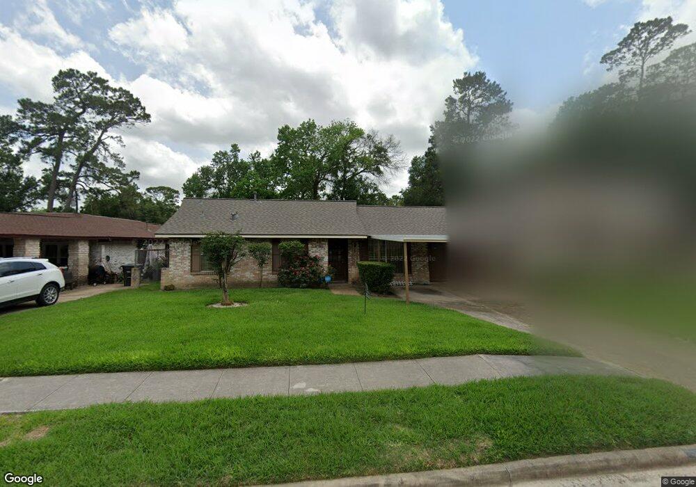
7636 Gleason Rd Houston, TX 77016
East Little York NeighborhoodEstimated Value: $135,000 - $176,000
3
Beds
2
Baths
1,059
Sq Ft
$150/Sq Ft
Est. Value
About This Home
This home is located at 7636 Gleason Rd, Houston, TX 77016 and is currently estimated at $158,506, approximately $149 per square foot. 7636 Gleason Rd is a home located in Harris County with nearby schools including Shadydale Elementary School, Forest Brook Middle, and North Forest High School.
Ownership History
Date
Name
Owned For
Owner Type
Purchase Details
Closed on
Sep 29, 2015
Sold by
Charles Elsie Marie and Johnson Gwendolyn
Bought by
Phillips Thelma R
Current Estimated Value
Home Financials for this Owner
Home Financials are based on the most recent Mortgage that was taken out on this home.
Original Mortgage
$53,600
Outstanding Balance
$42,300
Interest Rate
3.97%
Mortgage Type
New Conventional
Estimated Equity
$116,206
Create a Home Valuation Report for This Property
The Home Valuation Report is an in-depth analysis detailing your home's value as well as a comparison with similar homes in the area
Home Values in the Area
Average Home Value in this Area
Purchase History
| Date | Buyer | Sale Price | Title Company |
|---|---|---|---|
| Phillips Thelma R | -- | Stewart Title |
Source: Public Records
Mortgage History
| Date | Status | Borrower | Loan Amount |
|---|---|---|---|
| Open | Phillips Thelma R | $53,600 |
Source: Public Records
Tax History Compared to Growth
Tax History
| Year | Tax Paid | Tax Assessment Tax Assessment Total Assessment is a certain percentage of the fair market value that is determined by local assessors to be the total taxable value of land and additions on the property. | Land | Improvement |
|---|---|---|---|---|
| 2025 | $2,974 | $142,155 | $46,275 | $95,880 |
| 2024 | $2,974 | $142,155 | $46,275 | $95,880 |
| 2023 | $2,974 | $174,950 | $46,275 | $128,675 |
| 2022 | $3,335 | $151,474 | $38,871 | $112,603 |
| 2021 | $2,811 | $120,609 | $25,914 | $94,695 |
| 2020 | $2,600 | $107,375 | $19,250 | $88,125 |
| 2019 | $2,522 | $99,662 | $14,068 | $85,594 |
| 2018 | $1,693 | $66,897 | $12,661 | $54,236 |
| 2017 | $1,692 | $66,897 | $12,661 | $54,236 |
| 2016 | $1,591 | $62,936 | $12,661 | $50,275 |
| 2015 | $1,296 | $57,075 | $12,661 | $44,414 |
| 2014 | $1,296 | $50,412 | $12,661 | $37,751 |
Source: Public Records
Map
Nearby Homes
- 7726 Melanie St
- 7618 Boggess Rd
- 10206 Cheeves Dr
- 7449 Gleason Rd
- 7807 Lavender Lantana Ln
- 7818 Laurel Gem Dr
- 7827 Laurel Gem Dr
- 7823 Laurel Gem Dr
- 7821 Laurel Gem Dr
- 7812 Laurel Gem Dr
- 7830 Laurel Gem Dr
- 7824 Laurel Gem Dr
- 7819 Laurel Gem Dr
- 7815 Laurel Gem Dr
- 10125 Rebel Rd
- 10314 Red Orchid Dr
- 8022 Yoe St
- 10035 Tiger Flower Ln
- 10313 Blades St
- 7451 Langley Rd
- 7702 Gleason Rd
- 7632 Gleason Rd
- 7708 Gleason Rd
- 7628 Gleason Rd
- 7637 Lakewood Dr
- 7633 Lakewood Dr
- 7703 Lakewood Dr
- 7716 Gleason Rd
- 7624 Gleason Rd
- 7637 Gleason Rd
- 7629 Lakewood Dr
- 7707 Lakewood Dr
- 7701 Gleason Rd
- 7633 Gleason Rd
- 7705 Gleason Rd
- 7629 Gleason Rd
- 7625 Lakewood Dr
- 7620 Gleason Rd
- 7722 Gleason Rd
- 7711 Lakewood Dr