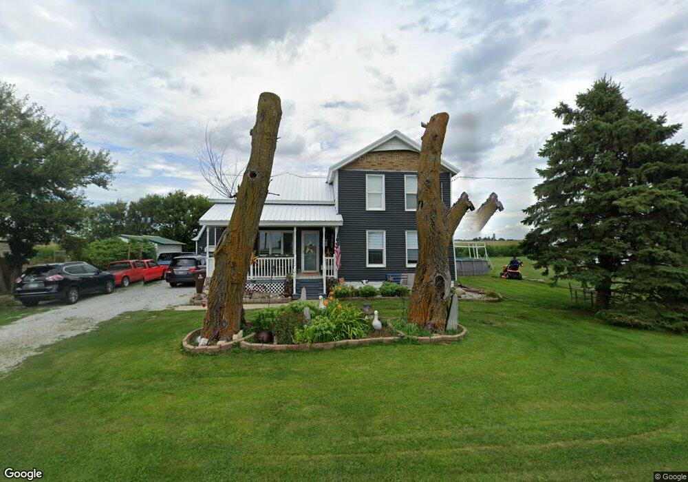
7637 E 9000n Rd Grant Park, IL 60940
Estimated Value: $172,000 - $260,000
3
Beds
2
Baths
1,925
Sq Ft
$112/Sq Ft
Est. Value
About This Home
This home is located at 7637 E 9000n Rd, Grant Park, IL 60940 and is currently estimated at $215,022, approximately $111 per square foot. 7637 E 9000n Rd is a home located in Kankakee County with nearby schools including Grant Park Elementary School and Grant Park High School.
Ownership History
Date
Name
Owned For
Owner Type
Purchase Details
Closed on
Nov 21, 2019
Sold by
Zielinowski Lukasz
Bought by
Guillen Felix and Guillen Monica
Current Estimated Value
Home Financials for this Owner
Home Financials are based on the most recent Mortgage that was taken out on this home.
Original Mortgage
$106,964
Interest Rate
3.5%
Mortgage Type
Construction
Purchase Details
Closed on
Apr 6, 2016
Sold by
Marquardt Brandon J and Marquardt Nicole L
Bought by
Zielinowski Lukasz
Create a Home Valuation Report for This Property
The Home Valuation Report is an in-depth analysis detailing your home's value as well as a comparison with similar homes in the area
Purchase History
| Date | Buyer | Sale Price | Title Company |
|---|---|---|---|
| Guillen Felix | $105,000 | Kankakee County Title | |
| Zielinowski Lukasz | $500 | Kankakee Cnty Title & Tr |
Source: Public Records
Mortgage History
| Date | Status | Borrower | Loan Amount |
|---|---|---|---|
| Closed | Guillen Felix | $106,964 |
Source: Public Records
Tax History
| Year | Tax Paid | Tax Assessment Tax Assessment Total Assessment is a certain percentage of the fair market value that is determined by local assessors to be the total taxable value of land and additions on the property. | Land | Improvement |
|---|---|---|---|---|
| 2024 | $3,653 | $55,456 | $5,601 | $49,855 |
| 2023 | $3,194 | $49,960 | $5,046 | $44,914 |
| 2022 | $3,510 | $46,259 | $4,672 | $41,587 |
| 2021 | $3,431 | $44,695 | $4,514 | $40,181 |
| 2020 | $3,397 | $42,976 | $4,340 | $38,636 |
| 2019 | $3,336 | $41,928 | $2,419 | $39,509 |
| 2018 | $2,670 | $29,944 | $2,343 | $27,601 |
| 2017 | $1,504 | $16,462 | $2,320 | $14,142 |
| 2016 | $331 | $43,234 | $2,242 | $40,992 |
| 2015 | $3,895 | $41,372 | $2,145 | $39,227 |
| 2014 | $3,759 | $40,167 | $2,083 | $38,084 |
| 2013 | -- | $40,882 | $2,120 | $38,762 |
Source: Public Records
Map
Nearby Homes
- 8872 E 7000n Rd
- 8871 N 5000e Rd
- 9825 E 11000n Rd
- 15615 Dr
- 15527 Deer Path - Lot 10 Dr
- 15566 Deer Path - Lot 4 Dr
- 15648 Deer Path - Lot 1 Dr
- 15583 Dr
- 15626 Dr
- 582 Diversatech Dr S
- 307 W Curtis St
- 201 N Meadow St
- 525 Diamond Dr
- 513 Diamond Dr
- 209 N Maple St
- 105 N Maple St
- 485 Rock Creek Dr
- Lot 38 Sandstone Ln
- 320 E Taylor St
- 9900 N 3000e Rd
- 7637 E 9000 Rd N
- 7609 9000 N
- 7609 E 9000n Rd
- 7581 E 9000n Rd
- 7673 E 9000n Rd
- 7521 E 9000n Rd
- 7740 E 9000n Rd
- 7770 E 9000n Rd
- 7387 E 9000n Rd
- 7923 E 9000n Rd
- 7953 E 9000n Rd
- 7852 E 9000n Rd
- 8968 N 8000e Rd
- 8926 N 8000e Rd
- 8890 N 8000e Rd
- 9259 E 9000n Rd
- 8041 E 9000n Rd
- 8907 N 8000e Rd
- 8839 N 8000e Rd
- 7174 E 9000n Rd
Your Personal Tour Guide
Ask me questions while you tour the home.