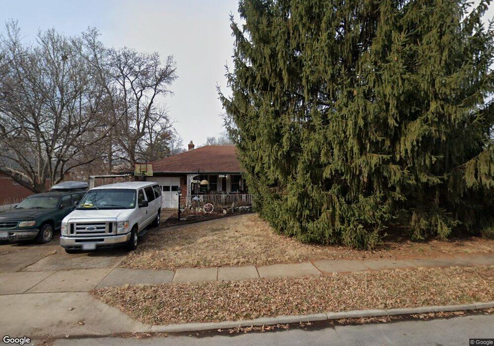
7637 Lindbergh Dr Saint Louis, MO 63117
Estimated Value: $320,000 - $371,000
3
Beds
2
Baths
1,335
Sq Ft
$256/Sq Ft
Est. Value
About This Home
This home is located at 7637 Lindbergh Dr, Saint Louis, MO 63117 and is currently estimated at $341,307, approximately $255 per square foot. 7637 Lindbergh Dr is a home located in St. Louis County with nearby schools including Maplewood Richmond Heights Elementary School, Maplewood Richmond Heights Middle School, and Maplewood-Richmond Heights High School.
Ownership History
Date
Name
Owned For
Owner Type
Purchase Details
Closed on
Nov 15, 2007
Sold by
Reddoehl Edith E and Oshea John T
Bought by
Whittington Joseph C and Schulte Linda M
Current Estimated Value
Home Financials for this Owner
Home Financials are based on the most recent Mortgage that was taken out on this home.
Original Mortgage
$40,000
Interest Rate
6.38%
Mortgage Type
Purchase Money Mortgage
Create a Home Valuation Report for This Property
The Home Valuation Report is an in-depth analysis detailing your home's value as well as a comparison with similar homes in the area
Home Values in the Area
Average Home Value in this Area
Purchase History
| Date | Buyer | Sale Price | Title Company |
|---|---|---|---|
| Whittington Joseph C | $175,000 | None Available |
Source: Public Records
Mortgage History
| Date | Status | Borrower | Loan Amount |
|---|---|---|---|
| Closed | Whittington Joseph C | $40,000 |
Source: Public Records
Tax History Compared to Growth
Tax History
| Year | Tax Paid | Tax Assessment Tax Assessment Total Assessment is a certain percentage of the fair market value that is determined by local assessors to be the total taxable value of land and additions on the property. | Land | Improvement |
|---|---|---|---|---|
| 2025 | $3,999 | $60,460 | $41,800 | $18,660 |
| 2024 | $3,999 | $52,140 | $26,010 | $26,130 |
| 2023 | $3,964 | $52,140 | $26,010 | $26,130 |
| 2022 | $3,982 | $48,450 | $26,010 | $22,440 |
| 2021 | $3,913 | $48,450 | $26,010 | $22,440 |
| 2020 | $3,946 | $46,340 | $21,960 | $24,380 |
| 2019 | $3,915 | $46,340 | $21,960 | $24,380 |
| 2018 | $3,139 | $33,630 | $11,720 | $21,910 |
| 2017 | $3,117 | $33,630 | $11,720 | $21,910 |
| 2016 | $2,828 | $29,390 | $10,810 | $18,580 |
| 2015 | $2,658 | $29,390 | $10,810 | $18,580 |
| 2014 | $3,252 | $36,120 | $11,190 | $24,930 |
Source: Public Records
Map
Nearby Homes
- 1723 Mccready Ave
- 7590 W Bruno Ave
- 2030 Bland Place
- 7555 Alicia Ave
- 7765 Weston Place
- 7635 Folk Ave
- 7736 W Ranken Ave
- 7562 Folk Ave
- 7715 Dale Ave
- 7735 Saint Albans Ave
- 7723 Dale Ave
- 1733 Del Norte Ave
- 7716 Lovella Ave
- 7400 Williams Ave
- 7638 Weaver Ave
- 1262 Moorlands Dr
- 7342 Dale Ave
- 1501 Stockard Ave
- 7264 Richmond Place
- 1510 Banneker Ave
- 7635 Lindbergh Dr
- 7645 Lindbergh Dr
- 7655 Lindbergh Dr
- 7627 Lindbergh Dr
- 7659 Lindbergh Dr
- 1538 Collins Ave
- 1542 Collins Ave
- 7621 Lindbergh Dr
- 1546 Collins Ave
- 1534 Collins Ave
- 1530 Collins Ave
- 7663 Lindbergh (Quiet Street) Dr
- 7615 Lindbergh Dr
- 1548 Collins Ave
- 7663 Lindbergh Dr
- 1520 Collins Ave
- 7665 Lindbergh Dr
- 7611 Lindbergh Dr
- 7632 Lindbergh Dr
- 7636 Lindbergh Dr