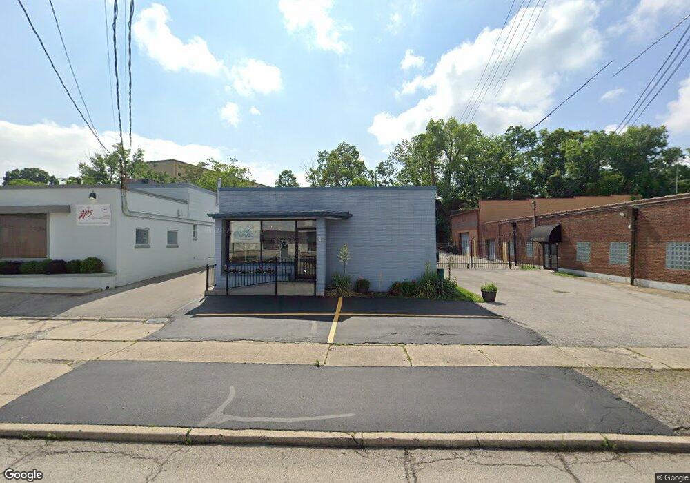
7637 Production Dr Cincinnati, OH 45237
Roselawn Neighborhood
Studio
--
Bath
3,450
Sq Ft
9,148
Sq Ft
About This Home
This home is located at 7637 Production Dr, Cincinnati, OH 45237. 7637 Production Dr is a home located in Hamilton County with nearby schools including Roselawn Condon School, Shroder High School, and Clark Montessori High School.
Ownership History
Date
Name
Owned For
Owner Type
Purchase Details
Closed on
Mar 30, 2017
Sold by
Hodges Sandra Kay
Bought by
Hodes Sandra and Hodges Family Trust
Purchase Details
Closed on
Jul 22, 2009
Sold by
Adams & Hodges Properties Llc
Bought by
Hodges Sandra Kay
Purchase Details
Closed on
Aug 9, 2006
Sold by
Gisi Realty
Bought by
Adams & Hodges Properties Llc
Home Financials for this Owner
Home Financials are based on the most recent Mortgage that was taken out on this home.
Original Mortgage
$136,700
Interest Rate
7.5%
Mortgage Type
Commercial
Purchase Details
Closed on
Jun 26, 1996
Sold by
Levine Herman
Bought by
Gisi Realty
Home Financials for this Owner
Home Financials are based on the most recent Mortgage that was taken out on this home.
Original Mortgage
$120,000
Interest Rate
8.13%
Mortgage Type
Seller Take Back
Create a Home Valuation Report for This Property
The Home Valuation Report is an in-depth analysis detailing your home's value as well as a comparison with similar homes in the area
Home Values in the Area
Average Home Value in this Area
Purchase History
| Date | Buyer | Sale Price | Title Company |
|---|---|---|---|
| Hodes Sandra | -- | -- | |
| Hodges Sandra Kay | -- | Attorney | |
| Adams & Hodges Properties Llc | $135,000 | None Available | |
| Gisi Realty | $120,000 | -- |
Source: Public Records
Mortgage History
| Date | Status | Borrower | Loan Amount |
|---|---|---|---|
| Previous Owner | Adams & Hodges Properties Llc | $136,700 | |
| Previous Owner | Gisi Realty | $120,000 |
Source: Public Records
Tax History
| Year | Tax Paid | Tax Assessment Tax Assessment Total Assessment is a certain percentage of the fair market value that is determined by local assessors to be the total taxable value of land and additions on the property. | Land | Improvement |
|---|---|---|---|---|
| 2025 | $3,053 | $36,702 | $10,182 | $26,520 |
| 2023 | $3,025 | $36,702 | $10,182 | $26,520 |
| 2022 | $3,283 | $36,110 | $10,588 | $25,522 |
| 2021 | $3,222 | $36,110 | $10,588 | $25,522 |
| 2020 | $3,226 | $36,110 | $10,588 | $25,522 |
| 2019 | $3,358 | $34,724 | $10,182 | $24,542 |
| 2018 | $3,359 | $34,724 | $10,182 | $24,542 |
| 2017 | $3,253 | $34,724 | $10,182 | $24,542 |
| 2016 | $3,366 | $35,203 | $10,052 | $25,151 |
| 2015 | $3,093 | $35,203 | $10,052 | $25,151 |
| 2014 | $3,103 | $35,203 | $10,052 | $25,151 |
| 2013 | $3,310 | $37,451 | $10,693 | $26,758 |
Source: Public Records
Map
Nearby Homes
- 7505 Greenland Place
- 1622 Shenandoah Ave
- 1849 Greenbriar Place
- 1808 Crest Hill Ave
- 7829 Sunfield Dr
- 1519 Section Rd
- 1543 Corvallis Ave
- 7831 Glen Orchard Dr
- 6770 Elbrook Ave
- 6750 Elbrook Ave
- 1501 Summit Rd
- 7871 Glenorchard Dr
- 1522 Kenova Ave
- 1535 Kenova Ave
- 1418 Lakeland Ave
- 7119 Eastlawn Dr
- 2344 Losantiville Ave
- 2327 Losantiville Ave
- 241 Oakmont St
- 8081 Woodbine Ave
- 7655 Production Dr
- 7642 Reading Rd
- 7654 Production Dr
- 7604 Production Dr
- 1716 Stonybrook Dr
- 1708 Stonybrook Dr
- 1704 Stonybrook Dr
- 7604 Reading Rd
- 1702 Stonybrook Dr
- 7641 Reinhold Dr
- 1700 Stonybrook Dr
- 7600 Reading Rd
- 1715 Stonybrook Dr
- 1711 Stonybrook Dr
- 1709 Stonybrook Dr
- 1834 Section Rd
- 1707 Stonybrook Dr
- 1705 Stonybrook Dr
- 1703 Stonybrook Dr
- 1701 Stonybrook Dr
Your Personal Tour Guide
Ask me questions while you tour the home.