7639 Buchanan Hwy Dallas, GA 30157
Estimated Value: $495,000 - $691,000
3
Beds
3
Baths
2,557
Sq Ft
$226/Sq Ft
Est. Value
About This Home
This home is located at 7639 Buchanan Hwy, Dallas, GA 30157 and is currently estimated at $577,700, approximately $225 per square foot. 7639 Buchanan Hwy is a home located in Paulding County with nearby schools including Union Elementary School, Carl Scoggins Sr. Middle School, and South Paulding High School.
Ownership History
Date
Name
Owned For
Owner Type
Purchase Details
Closed on
Apr 27, 2001
Sold by
Holton William J and Holton Janet F
Bought by
Marks Jason K and Marks Karen D
Current Estimated Value
Home Financials for this Owner
Home Financials are based on the most recent Mortgage that was taken out on this home.
Original Mortgage
$236,000
Outstanding Balance
$88,057
Interest Rate
7.02%
Mortgage Type
New Conventional
Estimated Equity
$489,643
Create a Home Valuation Report for This Property
The Home Valuation Report is an in-depth analysis detailing your home's value as well as a comparison with similar homes in the area
Home Values in the Area
Average Home Value in this Area
Purchase History
| Date | Buyer | Sale Price | Title Company |
|---|---|---|---|
| Marks Jason K | $295,000 | -- |
Source: Public Records
Mortgage History
| Date | Status | Borrower | Loan Amount |
|---|---|---|---|
| Open | Marks Jason K | $236,000 |
Source: Public Records
Tax History Compared to Growth
Tax History
| Year | Tax Paid | Tax Assessment Tax Assessment Total Assessment is a certain percentage of the fair market value that is determined by local assessors to be the total taxable value of land and additions on the property. | Land | Improvement |
|---|---|---|---|---|
| 2024 | $4,648 | $190,096 | $60,640 | $129,456 |
| 2023 | $4,646 | $180,728 | $57,680 | $123,048 |
| 2022 | $4,207 | $163,244 | $55,720 | $107,524 |
| 2021 | $3,620 | $126,428 | $39,880 | $86,548 |
| 2020 | $3,464 | $118,468 | $34,200 | $84,268 |
| 2019 | $3,122 | $105,468 | $29,640 | $75,828 |
| 2018 | $4,034 | $133,884 | $57,360 | $76,524 |
| 2017 | $3,877 | $128,760 | $57,360 | $71,400 |
Source: Public Records
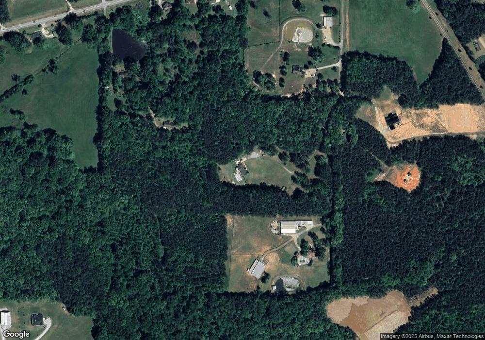
Map
Nearby Homes
- 0 Billy Bullock Rd Unit 10622076
- 270 Harmony Woods Dr
- 363 Safe Harbor Dr
- 281 Harmony Woods Dr
- 65 Harmony Woods Ln
- 00 Billy Bullock Rd
- 728 Harmony Rd
- 59 Mullberry Path
- 703 Mulberry Rock Rd
- 0 Buchanan Hwy Unit 10367629
- 00002 Boulder View Pkwy
- 14 Clint Ct
- 334 Stonehenge Dr
- 177 Rustin Dr
- 37 Winesap Ct
- 34 Harmony Ridge Dr
- 15 Quarry Ln
- 453 Mulberry Rock Rd
- 0 Rustin Dr Unit 10617842
- 7891 Buchanan Hwy
- 7633 Buchanan Hwy
- 7643 Buchanan Hwy
- 7951 Buchanan Hwy
- 290 Billy Bullock Rd
- 7833 Buchanan Hwy
- 7873 Buchanan Hwy
- 7807 Buchanan Hwy
- 7629 Buchanan Hwy
- 8031 Buchanan Hwy
- 8033 Buchanan Hwy
- 7768 Buchanan Hwy
- 7832 Buchanan Hwy
- 350 Taylor Path
- 74 Safe Harbor Trail
- 348 Billy Bullock Extension
- 000 Billy Bullock Rd
- 0 Billy Bullock Rd
- 0000 Billy Bullock Rd
- 0 Billy Bullock Rd Unit 10513070