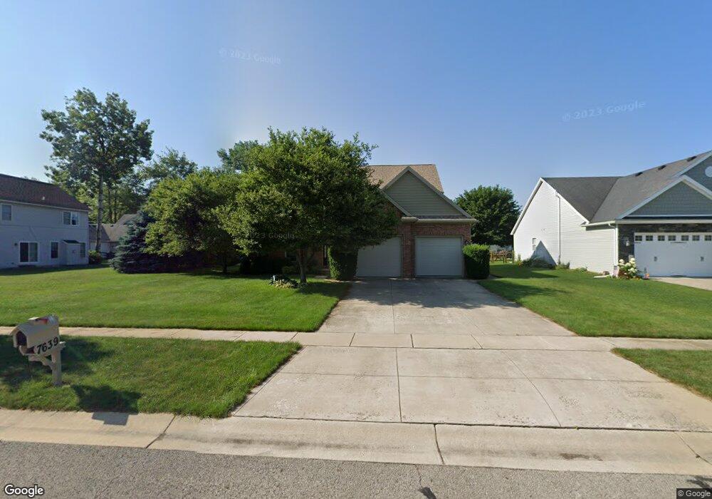
7639 Lonetree Ct Maumee, OH 43537
Estimated Value: $411,000 - $459,000
4
Beds
3
Baths
2,382
Sq Ft
$183/Sq Ft
Est. Value
About This Home
This home is located at 7639 Lonetree Ct, Maumee, OH 43537 and is currently estimated at $436,305, approximately $183 per square foot. 7639 Lonetree Ct is a home located in Lucas County with nearby schools including Crissey Elementary School, Springfield Middle School, and Springfield High School.
Ownership History
Date
Name
Owned For
Owner Type
Purchase Details
Closed on
Dec 30, 2010
Sold by
Federal Home Loan Mortgage Corporation
Bought by
Thomas Tracy W
Current Estimated Value
Home Financials for this Owner
Home Financials are based on the most recent Mortgage that was taken out on this home.
Original Mortgage
$156,400
Interest Rate
4.81%
Mortgage Type
New Conventional
Purchase Details
Closed on
Jun 4, 2010
Sold by
Parker Tyrone
Bought by
Federal Home Loan Mortgage Corp
Create a Home Valuation Report for This Property
The Home Valuation Report is an in-depth analysis detailing your home's value as well as a comparison with similar homes in the area
Home Values in the Area
Average Home Value in this Area
Purchase History
| Date | Buyer | Sale Price | Title Company |
|---|---|---|---|
| Thomas Tracy W | $195,500 | Attorney | |
| Federal Home Loan Mortgage Corp | $244,820 | None Available |
Source: Public Records
Mortgage History
| Date | Status | Borrower | Loan Amount |
|---|---|---|---|
| Previous Owner | Thomas Tracy W | $156,400 |
Source: Public Records
Tax History Compared to Growth
Tax History
| Year | Tax Paid | Tax Assessment Tax Assessment Total Assessment is a certain percentage of the fair market value that is determined by local assessors to be the total taxable value of land and additions on the property. | Land | Improvement |
|---|---|---|---|---|
| 2024 | $3,860 | $127,470 | $13,965 | $113,505 |
| 2023 | $6,445 | $92,855 | $10,920 | $81,935 |
| 2022 | $6,446 | $92,855 | $10,920 | $81,935 |
| 2021 | $6,060 | $92,855 | $10,920 | $81,935 |
| 2020 | $5,797 | $80,535 | $9,205 | $71,330 |
| 2019 | $5,662 | $80,535 | $9,205 | $71,330 |
| 2018 | $5,447 | $80,535 | $9,205 | $71,330 |
| 2017 | $5,277 | $69,860 | $10,990 | $58,870 |
| 2016 | $5,326 | $199,600 | $31,400 | $168,200 |
| 2015 | $5,316 | $199,600 | $31,400 | $168,200 |
| 2014 | $4,714 | $67,170 | $10,570 | $56,600 |
| 2013 | $4,714 | $67,170 | $10,570 | $56,600 |
Source: Public Records
Map
Nearby Homes
- 7664 Pilgrims Landing
- 2906 Back Bay Dr
- 2910 Setter Point Dr
- 124 William Grace Way
- 134 William Grace Way
- 132 William Grace Way
- 8009 Quarry Rd
- 2966 Deep Water Ln
- 7439 Lock Mill Ct
- 7407 Lock Mill Ct
- 3030 Deep Water Ln
- 7826 Gala Dr
- 3008 Pleasant Hill Rd
- 3236 Deep Water Ln
- 7040 Country Creek Rd
- 7864 Windsor Wood Ct
- 7807 Gala Dr
- 2425 Winding Creek Dr
- 7455 Valhalla Dr
- 7961 Clover Creek Rd
- 7647 Lonetree Ct
- 2822 Long View Dr
- 2830 Long View Dr
- 7655 Lonetree Ct
- 7642 Stone Hill Ct
- 7650 Stone Hill Ct
- 7640 Lonetree Ct
- 7658 Stone Hill Ct
- 2806 Long View Dr
- 7648 Lonetree Ct
- 7663 Lonetree Ct
- 7656 Lonetree Ct
- 7666 Stone Hill Ct
- 7703 Lonetree Ct
- 2768 Long View Dr
- 7664 Lonetree Ct
- 2827 Long View Dr
- 2819 Long View Dr
- 7702 Stone Hill Ct
- 2835 Long View Dr