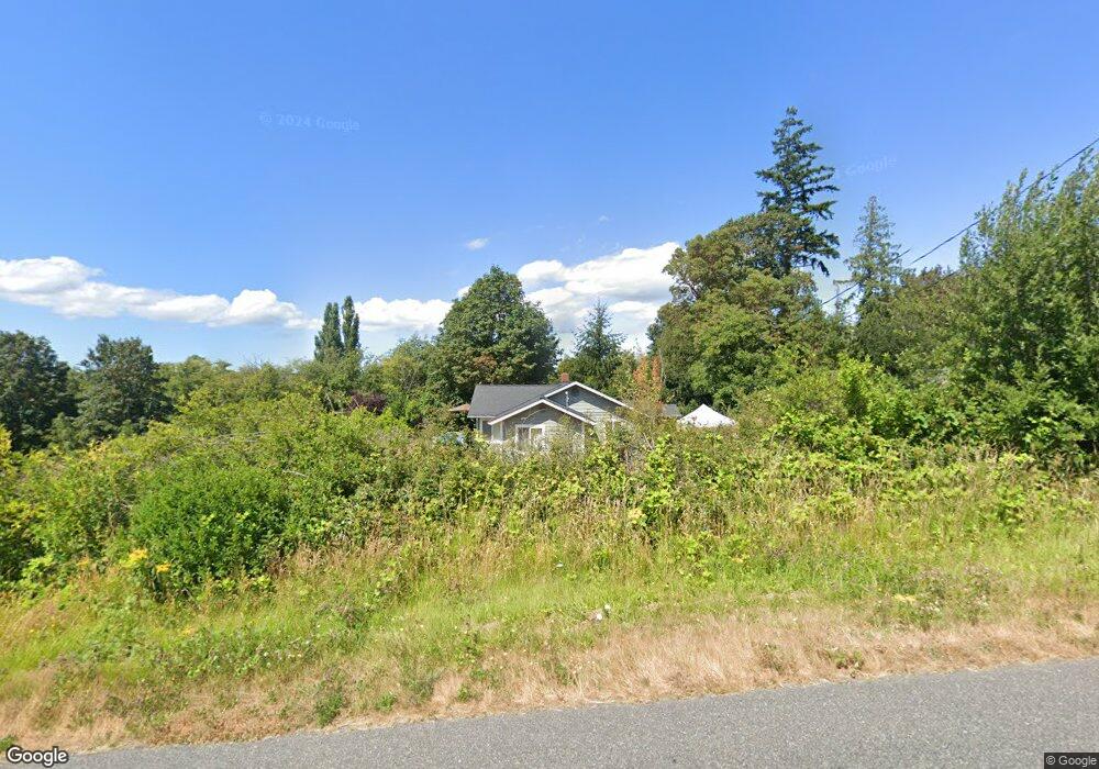
764 Brokaw Rd Camano Island, WA 98282
Estimated Value: $1,038,536 - $1,134,000
2
Beds
4
Baths
2,950
Sq Ft
$365/Sq Ft
Est. Value
About This Home
This home is located at 764 Brokaw Rd, Camano Island, WA 98282 and is currently estimated at $1,075,634, approximately $364 per square foot. 764 Brokaw Rd is a home located in Island County with nearby schools including Utsalady Elementary School, Port Susan Middle School, and Stanwood High School.
Ownership History
Date
Name
Owned For
Owner Type
Purchase Details
Closed on
Jun 28, 2005
Sold by
Dimmick Larry L and Dimmick Sharon A
Bought by
Pendergraft Kelly B and Pendergraft Laura L
Current Estimated Value
Home Financials for this Owner
Home Financials are based on the most recent Mortgage that was taken out on this home.
Original Mortgage
$130,400
Outstanding Balance
$67,594
Interest Rate
5.65%
Mortgage Type
Balloon
Estimated Equity
$1,008,040
Create a Home Valuation Report for This Property
The Home Valuation Report is an in-depth analysis detailing your home's value as well as a comparison with similar homes in the area
Home Values in the Area
Average Home Value in this Area
Purchase History
| Date | Buyer | Sale Price | Title Company |
|---|---|---|---|
| Pendergraft Kelly B | $163,000 | Land Title Co Island Cnty |
Source: Public Records
Mortgage History
| Date | Status | Borrower | Loan Amount |
|---|---|---|---|
| Open | Pendergraft Kelly B | $130,400 |
Source: Public Records
Tax History Compared to Growth
Tax History
| Year | Tax Paid | Tax Assessment Tax Assessment Total Assessment is a certain percentage of the fair market value that is determined by local assessors to be the total taxable value of land and additions on the property. | Land | Improvement |
|---|---|---|---|---|
| 2025 | $1,430 | $965,893 | $305,000 | $660,893 |
| 2024 | $1,529 | $958,557 | $290,000 | $668,557 |
| 2023 | $1,529 | $966,219 | $290,000 | $676,219 |
| 2022 | $6,872 | $843,206 | $260,000 | $583,206 |
| 2021 | $6,205 | $743,162 | $230,000 | $513,162 |
| 2020 | $5,363 | $649,794 | $150,000 | $499,794 |
| 2019 | $5,073 | $553,931 | $180,000 | $373,931 |
| 2018 | $5,422 | $525,004 | $150,000 | $375,004 |
| 2017 | $4,219 | $520,352 | $150,000 | $370,352 |
| 2016 | $4,325 | $449,283 | $110,000 | $339,283 |
| 2015 | -- | $443,184 | $100,000 | $343,184 |
| 2013 | -- | $414,983 | $64,000 | $350,983 |
Source: Public Records
Map
Nearby Homes
- 688 Gladstone Dr
- 1042 Shorecrest Place
- 0 Maple Grove Rd Unit NWM2455478
- 1048 Malvern Hills Dr
- 628 N Sunset Dr
- 366 Samanthia Ln
- 1048 Cassius Ct
- 900 N Sunset Dr
- 941 Cambell Dr
- 0 Cambell Dr Unit NWM2331086
- 345 Seaview Ct
- 350 N Sunset Dr
- 329 Melissa St
- 329 Burke Dr
- 325 Melissa St
- 980 Marshall Dr
- 441 Windsun Way
- 25 Anadar Place
- 276 Melissa St
- 1 S Camano Dr
- 726 Brokaw Rd
- 740 Brokaw Rd
- 756 Brokaw Rd
- 1042 Scenic Ave
- 755 Brown Rd
- 13 Lot W Brokaw Rd
- 0 XXX W Brokaw Rd
- 1020 Scenic Ave
- 23 Sandstone Ln
- 908 NW Market St
- 1016 Scenic Ave
- 728 Sandstone Ln
- 1006 Scenic Ave
- 735 Sandstone Ln
- 1054 Scenic Ave
- 732 Sandstone Ln
- 751 Brown Rd
- 700 Flintstone Dr
- 1048 Scenic Ave
- 1017 Scenic Ave