764 Cherokee Rd Clarkesville, GA 30523
Estimated Value: $314,390 - $1,105,000
3
Beds
2
Baths
920
Sq Ft
$771/Sq Ft
Est. Value
About This Home
This home is located at 764 Cherokee Rd, Clarkesville, GA 30523 and is currently estimated at $709,695, approximately $771 per square foot. 764 Cherokee Rd is a home with nearby schools including Rabun County Primary School and Rabun County High School.
Ownership History
Date
Name
Owned For
Owner Type
Purchase Details
Closed on
Sep 3, 2019
Sold by
Barnett Cynthia York
Bought by
Tench Theresa Lynn Barnett and Barnett Larry Douglas
Current Estimated Value
Purchase Details
Closed on
Aug 27, 2019
Sold by
Barnett William D
Bought by
Tench Theresa Lynn Barnett and Barnett Larry Douglas
Purchase Details
Closed on
Aug 1, 2004
Sold by
Barnett Herman E
Bought by
Barnett William Douglas
Create a Home Valuation Report for This Property
The Home Valuation Report is an in-depth analysis detailing your home's value as well as a comparison with similar homes in the area
Home Values in the Area
Average Home Value in this Area
Purchase History
| Date | Buyer | Sale Price | Title Company |
|---|---|---|---|
| Tench Theresa Lynn Barnett | -- | -- | |
| Tench Theresa Lynn Barnett | -- | -- | |
| Barnett Cynthia York | -- | -- | |
| Barnett Cynthia York | -- | -- | |
| Tench Theresa Lynn Barnett | -- | -- | |
| Tench Theresa Lynn Barnett | -- | -- | |
| Barnett William Douglas | -- | -- | |
| Barnett William Douglas | -- | -- |
Source: Public Records
Tax History
| Year | Tax Paid | Tax Assessment Tax Assessment Total Assessment is a certain percentage of the fair market value that is determined by local assessors to be the total taxable value of land and additions on the property. | Land | Improvement |
|---|---|---|---|---|
| 2025 | $837 | $52,174 | $0 | $52,174 |
| 2024 | $813 | $50,659 | $0 | $50,659 |
| 2023 | $723 | $39,511 | $0 | $39,511 |
| 2022 | $641 | $35,002 | $0 | $35,002 |
| 2021 | $615 | $32,775 | $0 | $32,775 |
| 2020 | $570 | $29,404 | $0 | $29,404 |
| 2019 | $558 | $28,579 | $0 | $28,579 |
| 2018 | $560 | $28,579 | $0 | $28,579 |
| 2017 | $537 | $28,579 | $0 | $28,579 |
| 2016 | $539 | $28,579 | $0 | $28,579 |
| 2015 | $482 | $25,007 | $0 | $25,007 |
| 2014 | $484 | $25,007 | $0 | $25,007 |
Source: Public Records
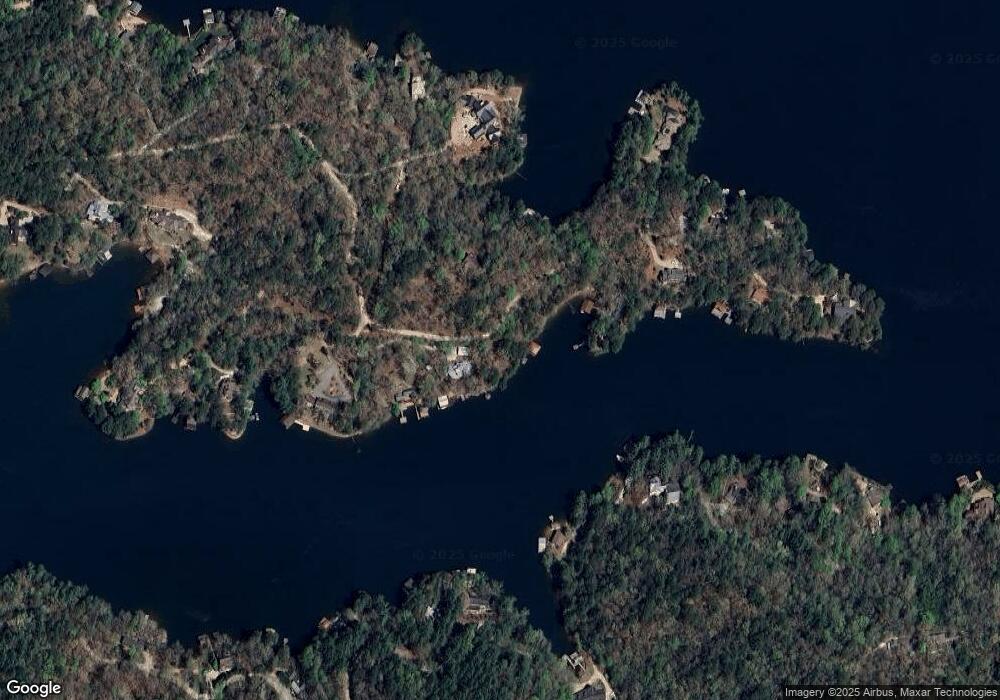
Map
Nearby Homes
- 1006 Perrin Cove Rd
- 336 Fulton Rd
- 326 Fulton Rd
- 254 & 238 Fulton Rd
- 188 Fulton Rd
- 9406 Bridge Creek Rd
- 43 Seasons View Ct
- 4960 Laurel Lodge #41 Rd
- 4960 Laurel Lodge Rd Unit 40
- 4960 Laurel Lodge Rd Unit LOT 3
- 4960 Laurel Lodge Rd
- 4960 Laurel Lodge Rd Unit LOT 21
- 4960 Laurel Lodge Rd Unit LOT 2
- 33 Mcnabb Ln
- 89 Arkansas Ln
- 15756 N Hwy 197
- 8165 Bridge Creek Rd
- 106 Brookwood Ln
- 341 Brookwood Ln
- 38 Sourwood Trail
- 55 Gwinnett Ln Unit L
- 659 Cherokee Rd Unit L
- 860 Cherokee Rd
- 70 Gwinnett Ln
- 14 Gwinnett Ln
- 902 Cherokee Rd
- 1065 Limberlost Trail
- 48 Memphis Ln
- 905 Cherokee Rd
- 1239 Burton Mtn Rd
- 839 Limberlost Trail
- 956 Cherokee Rd
- 887 Cherokee Rd
- 52 Memphis Ln
- 79 Oconee Ln Unit L
- 891 Limberlost Trail
- 957 Cherokee Rd Unit L
- 117 Oconee Ln Unit L
- 110 Memphis Ln Unit L
- 193 Cherokee Rd
Your Personal Tour Guide
Ask me questions while you tour the home.