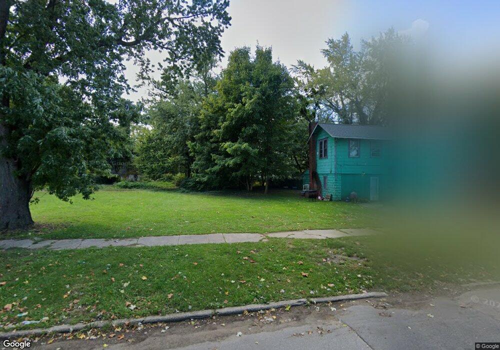
764 E High St Benton Harbor, MI 49022
Estimated Value: $123,000
Studio
--
Bath
--
Sq Ft
7,579
Sq Ft Lot
About This Home
This home is located at 764 E High St, Benton Harbor, MI 49022 and is currently estimated at $123,000. 764 E High St is a home located in Berrien County with nearby schools including Fair Plain Middle School, Benton Harbor High School, and Benton Harbor Charter School Academy.
Ownership History
Date
Name
Owned For
Owner Type
Purchase Details
Closed on
Oct 27, 2020
Sold by
Home Renewal Systems Llc
Bought by
Berrien County Treasurer
Current Estimated Value
Purchase Details
Closed on
Oct 14, 2020
Sold by
Berrien County Treasurer
Bought by
Stokes Maria
Purchase Details
Closed on
Oct 25, 2012
Sold by
The Bank Of New York Mellon
Bought by
Renewal Systems Llc
Purchase Details
Closed on
Feb 16, 2012
Sold by
Lane Dwight and Lane Kathleen G
Bought by
The Bank Of New York Mellon and The Bank Of New York
Purchase Details
Closed on
Nov 27, 2000
Purchase Details
Closed on
Jun 30, 1998
Create a Home Valuation Report for This Property
The Home Valuation Report is an in-depth analysis detailing your home's value as well as a comparison with similar homes in the area
Home Values in the Area
Average Home Value in this Area
Purchase History
| Date | Buyer | Sale Price | Title Company |
|---|---|---|---|
| Berrien County Treasurer | -- | Berrien County Treasurer | |
| Stokes Maria | -- | None Available | |
| Stokes Maria | $650 | None Listed On Document | |
| Renewal Systems Llc | -- | Republic First Title Agency | |
| The Bank Of New York Mellon | $5,600 | None Available | |
| -- | -- | -- | |
| -- | -- | -- |
Source: Public Records
Tax History
| Year | Tax Paid | Tax Assessment Tax Assessment Total Assessment is a certain percentage of the fair market value that is determined by local assessors to be the total taxable value of land and additions on the property. | Land | Improvement |
|---|---|---|---|---|
| 2025 | $34 | $4,000 | $0 | $0 |
| 2024 | $33 | $3,300 | $0 | $0 |
| 2023 | $27 | $700 | $0 | $0 |
| 2022 | $30 | $500 | $0 | $0 |
| 2021 | $56 | $900 | $900 | $0 |
| 2020 | $35 | $900 | $0 | $0 |
| 2019 | $34 | $900 | $0 | $0 |
| 2018 | $33 | $3,500 | $0 | $0 |
| 2017 | $33 | $1,200 | $0 | $0 |
| 2016 | $32 | $1,200 | $0 | $0 |
| 2015 | $32 | $1,200 | $0 | $0 |
| 2014 | $30 | $1,400 | $0 | $0 |
Source: Public Records
Map
Nearby Homes
- 710 Buss Ave
- 810 Thresher Ave
- 696 Highland Ave
- 992 Highland Ave
- 137 Cornelia St
- 770 Territorial Rd
- 627 E Main St
- 635 E Main St
- 561 Heck Ct
- 490 Territorial Rd
- 363 Brunson Ave
- 378 Pipestone St
- 380 N Mccord St
- 596 Superior St
- 470 N Mccord St
- 381 N Hull Ave
- 520 Broadway
- 410 Division St
- 730 Superior St
- 394 Linden St
- 760 E High St
- 251 S Mccord St
- 259 S Mccord St
- 782 E High St
- 788 E High St
- 781 E High St
- 273 S Mccord St
- 785 E High St
- 781 Nathaniel Wells Sr Dr
- 767 E High St
- 221 S Mccord St
- 806 E High St
- 789 Nate Wells Sr Dr
- 795 Nate Wells Sr Dr
- 207 S Mccord St
- 816 E High St
- 805 Nathaniel Wells Sr Dr
- 741 E High St
- 795 E High St
- 805 Nate Wells Sr Dr
Your Personal Tour Guide
Ask me questions while you tour the home.