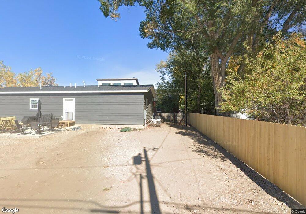
764 N 4th St Lander, WY 82520
Estimated Value: $364,816 - $427,000
3
Beds
2
Baths
1,440
Sq Ft
$270/Sq Ft
Est. Value
About This Home
This home is located at 764 N 4th St, Lander, WY 82520 and is currently estimated at $388,272, approximately $269 per square foot. 764 N 4th St is a home located in Fremont County with nearby schools including Lander Valley High School and Lander Christian Academy.
Ownership History
Date
Name
Owned For
Owner Type
Purchase Details
Closed on
Sep 16, 2024
Sold by
M & M Rentals Llc
Bought by
Hanson Jason and Meeks Makayla
Current Estimated Value
Home Financials for this Owner
Home Financials are based on the most recent Mortgage that was taken out on this home.
Original Mortgage
$343,660
Outstanding Balance
$339,797
Interest Rate
6.47%
Mortgage Type
FHA
Estimated Equity
$48,475
Purchase Details
Closed on
Dec 28, 2012
Sold by
Mazurie Martin D and Mazurie Margaret J
Bought by
M&M Rentals Llc
Create a Home Valuation Report for This Property
The Home Valuation Report is an in-depth analysis detailing your home's value as well as a comparison with similar homes in the area
Home Values in the Area
Average Home Value in this Area
Purchase History
| Date | Buyer | Sale Price | Title Company |
|---|---|---|---|
| Hanson Jason | -- | None Listed On Document | |
| M&M Rentals Llc | -- | None Available |
Source: Public Records
Mortgage History
| Date | Status | Borrower | Loan Amount |
|---|---|---|---|
| Open | Hanson Jason | $343,660 |
Source: Public Records
Tax History Compared to Growth
Tax History
| Year | Tax Paid | Tax Assessment Tax Assessment Total Assessment is a certain percentage of the fair market value that is determined by local assessors to be the total taxable value of land and additions on the property. | Land | Improvement |
|---|---|---|---|---|
| 2025 | $420 | $25,510 | $4,079 | $21,431 |
| 2024 | $420 | $5,439 | $5,439 | $0 |
| 2023 | $442 | $5,777 | $4,885 | $892 |
| 2022 | $420 | $5,603 | $4,885 | $718 |
| 2021 | $434 | $5,417 | $4,712 | $705 |
| 2020 | $418 | $5,405 | $4,712 | $693 |
| 2019 | $423 | $5,392 | $4,712 | $680 |
| 2018 | $424 | $5,345 | $4,697 | $648 |
| 2017 | $425 | $5,336 | $4,697 | $639 |
| 2016 | $393 | $4,952 | $4,697 | $255 |
| 2015 | $352 | $4,904 | $4,697 | $207 |
| 2014 | $352 | $4,909 | $4,697 | $212 |
Source: Public Records
Map
Nearby Homes
- 385 Wood St
- 1041 N 2nd St
- 1105 N 2nd St
- 108 Northside Dr
- 147 Northside Dr
- 665 6th Street Ct
- 655 Amoretti St
- 1015 Riverview Dr
- 635 Lincoln St
- 926 Hobson St
- 665 N 9th St
- 1100 Pronghorn Dr
- 1072 Pronghorn Dr
- 1062 Pronghorn Dr
- 329 S 4th St
- 655 N 10th St
- 654 W Main St
- 350 Canyon St
- 1530 W Main St
- 250 Dillon Dr
- 796 N 4th St
- 375 Washington St
- 702 N 4th St
- 390 Washington St
- 795 N 4th St
- 406 Market St
- 347 Washington St
- 335 Washington St
- 327 Washington St
- 372 Market St
- 410 Market St
- 346 Market St
- 346 Washington St
- 428 Market St
- 385 Market St
- 375 Market St
- 325 Washington St
- 350 Washington St Unit 3
- 430 Washington St
- 344 Washington St