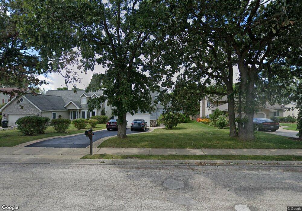
764 N Beck Rd Lindenhurst, IL 60046
Estimated Value: $351,000 - $406,411
3
Beds
3
Baths
2,181
Sq Ft
$177/Sq Ft
Est. Value
About This Home
This home is located at 764 N Beck Rd, Lindenhurst, IL 60046 and is currently estimated at $386,853, approximately $177 per square foot. 764 N Beck Rd is a home located in Lake County with nearby schools including Lakes Community High School.
Ownership History
Date
Name
Owned For
Owner Type
Purchase Details
Closed on
Aug 5, 1997
Sold by
Bono Robert W and Bono Janis L
Bought by
Potopsingh Flavius C and Potopsingh Linnette G
Current Estimated Value
Home Financials for this Owner
Home Financials are based on the most recent Mortgage that was taken out on this home.
Original Mortgage
$145,000
Interest Rate
7.68%
Create a Home Valuation Report for This Property
The Home Valuation Report is an in-depth analysis detailing your home's value as well as a comparison with similar homes in the area
Home Values in the Area
Average Home Value in this Area
Purchase History
We collect this data history from publicly available records. To have your information removed, we recommend requesting removal directly through your county’s website.
| Date | Buyer | Sale Price | Title Company |
|---|---|---|---|
| Potopsingh Flavius C | $123,666 | Ticor Title Insurance Compan |
Source: Public Records
Mortgage History
We collect this data history from publicly available records. To have your information removed, we recommend requesting removal directly through your county’s website.
| Date | Status | Borrower | Loan Amount |
|---|---|---|---|
| Closed | Potopsingh Flavius C | $145,000 |
Source: Public Records
Tax History
| Year | Tax Paid | Tax Assessment Tax Assessment Total Assessment is a certain percentage of the fair market value that is determined by local assessors to be the total taxable value of land and additions on the property. | Land | Improvement |
|---|---|---|---|---|
| 2025 | $10,051 | $122,484 | $24,654 | $97,830 |
| 2024 | $9,441 | $114,183 | $22,983 | $91,200 |
| 2023 | $9,757 | $100,887 | $20,307 | $80,580 |
| 2022 | $9,757 | $96,444 | $15,150 | $81,294 |
| 2021 | $9,241 | $89,590 | $14,073 | $75,517 |
| 2020 | $9,016 | $86,719 | $13,622 | $73,097 |
| 2019 | $9,223 | $83,344 | $13,092 | $70,252 |
| 2018 | $7,948 | $75,834 | $16,267 | $59,567 |
| 2017 | $7,727 | $73,811 | $15,833 | $57,978 |
| 2016 | $8,516 | $70,822 | $15,192 | $55,630 |
| 2015 | $8,141 | $66,146 | $14,189 | $51,957 |
| 2014 | $9,413 | $63,775 | $14,254 | $49,521 |
| 2012 | $8,751 | $82,017 | $16,132 | $65,885 |
Source: Public Records
Map
Nearby Homes
- 534 Whispering Pines Rd Unit 2
- 1896 E Vista Terrace
- 516 N Beck Rd
- 1816 Prairie Ridge Cir
- 412 Surrey Ln
- 2952 Liberty Ln
- 2308 Carriage Ln
- 1695 Natures Way
- 20215 W Miller Rd
- 2825 Haven Ln
- 1575 Mcclellan Dr
- 1806 Hazelwood Dr
- 2375 Kelsey Ct
- 19135 W Millburn Rd
- 1920 Hazelwood Dr
- 2004 Sprucewood Ln
- 1903 S Shore Cove
- 1809 Maplewood Ct
- 1339 Prairie Ridge Trail
- 1245 Prairie Ridge Trail
- 756 N Beck Rd
- 772 N Beck Rd
- 748 N Beck Rd
- 780 N Beck Rd
- 2353 Federal Cir
- 740 N Beck Rd
- 788 N Beck Rd
- 756 Monroe Dr
- 766 Monroe Dr
- 748 Monroe Dr
- 774 Monroe Dr
- 2355 Federal Cir
- 2351 Federal Cir
- 2380 Potomac Ct
- 738 Monroe Dr
- 2360 Potomac Ct
- 2387 Federal Pkwy
- 784 Monroe Dr
- 2373 Federal Pkwy
- 2348 Potomac Ct
Your Personal Tour Guide
Ask me questions while you tour the home.