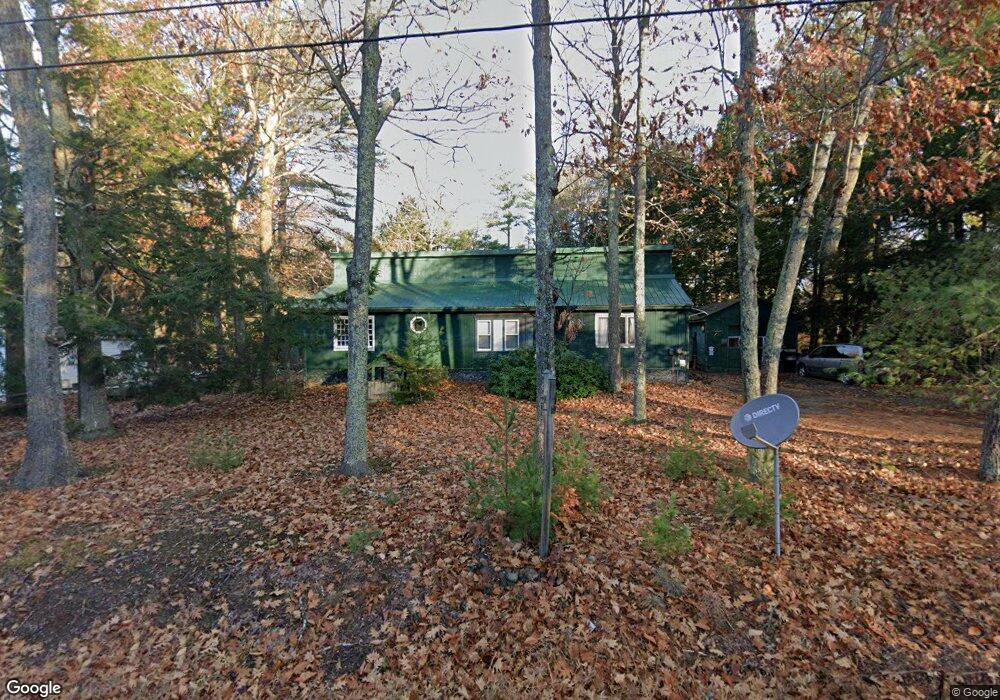
764 Parker Farm Rd Buxton, ME 04093
Estimated Value: $316,927 - $410,000
2
Beds
1
Bath
500
Sq Ft
$690/Sq Ft
Est. Value
About This Home
This home is located at 764 Parker Farm Rd, Buxton, ME 04093 and is currently estimated at $344,982, approximately $689 per square foot. 764 Parker Farm Rd is a home with nearby schools including Bonny Eagle High School.
Ownership History
Date
Name
Owned For
Owner Type
Purchase Details
Closed on
May 16, 2014
Sold by
Sanborn Alice H Est
Bought by
Sanborn Herman T
Current Estimated Value
Purchase Details
Closed on
Feb 10, 2006
Sold by
Burnham Dorothy M
Bought by
Sanborn Alice H and Sanborn Herman T
Create a Home Valuation Report for This Property
The Home Valuation Report is an in-depth analysis detailing your home's value as well as a comparison with similar homes in the area
Home Values in the Area
Average Home Value in this Area
Purchase History
| Date | Buyer | Sale Price | Title Company |
|---|---|---|---|
| Sanborn Herman T | -- | -- | |
| Sanborn Alice H | -- | -- |
Source: Public Records
Tax History Compared to Growth
Tax History
| Year | Tax Paid | Tax Assessment Tax Assessment Total Assessment is a certain percentage of the fair market value that is determined by local assessors to be the total taxable value of land and additions on the property. | Land | Improvement |
|---|---|---|---|---|
| 2024 | $2,653 | $241,400 | $97,800 | $143,600 |
| 2023 | $2,518 | $241,400 | $97,800 | $143,600 |
| 2022 | $2,474 | $241,600 | $97,800 | $143,800 |
| 2021 | $2,023 | $139,901 | $60,800 | $79,101 |
| 2020 | $2,040 | $139,901 | $60,800 | $79,101 |
| 2019 | $1,894 | $127,800 | $60,800 | $67,000 |
| 2018 | $1,524 | $127,800 | $60,800 | $67,000 |
| 2017 | $1,466 | $127,800 | $60,800 | $67,000 |
| 2016 | $1,668 | $127,800 | $60,800 | $67,000 |
| 2015 | $1,655 | $127,800 | $60,800 | $67,000 |
| 2014 | $1,623 | $127,800 | $60,800 | $67,000 |
| 2013 | $1,598 | $127,800 | $60,800 | $67,000 |
Source: Public Records
Map
Nearby Homes
- 866 Parker Farm Rd Unit A
- 866 Parker Farm Rd Unit B
- 125 Old Thompson Rd
- 30 Joan Dixon Way
- 14 Patrick Dr
- 22 Finn Parker Rd
- Lot 2 Commerce Way
- 47 Proprietors Rd
- 95 Skip Rd
- 00 Ossipee Trail E
- 17 Fox Track
- 62 Emery Cir
- 21 Alexander Dr
- 379 Bonny Eagle Rd
- 580 Bonny Eagle Rd
- 6 Sunrise St
- 135 Buck St
- 183 Buck St
- 116 Dingley Spring Rd
- 35 Rust Rd
- 760 Parker Farm Rd
- 768 Parker Farm Rd
- 767 Parker Farm Rd
- 759 Parker Farm Rd
- 754 Parker Farm Rd
- 774 Parker Farm Rd
- 12 Elliott Ave
- 751 Parker Farm Rd
- 748 Parker Farm Rd
- 779 Parker Farm Rd
- 16 Elliott Ave
- 29 Vail Rd
- 784 Parker Farm Rd
- 11 Elliott Ave
- 11 Allen Ave
- 5.72 Acres Parker Farm Rd
- 9 Allen Ave
- 18 Elliott Ave
- 741 Parker Farm Rd
- 787 Parker Farm Rd