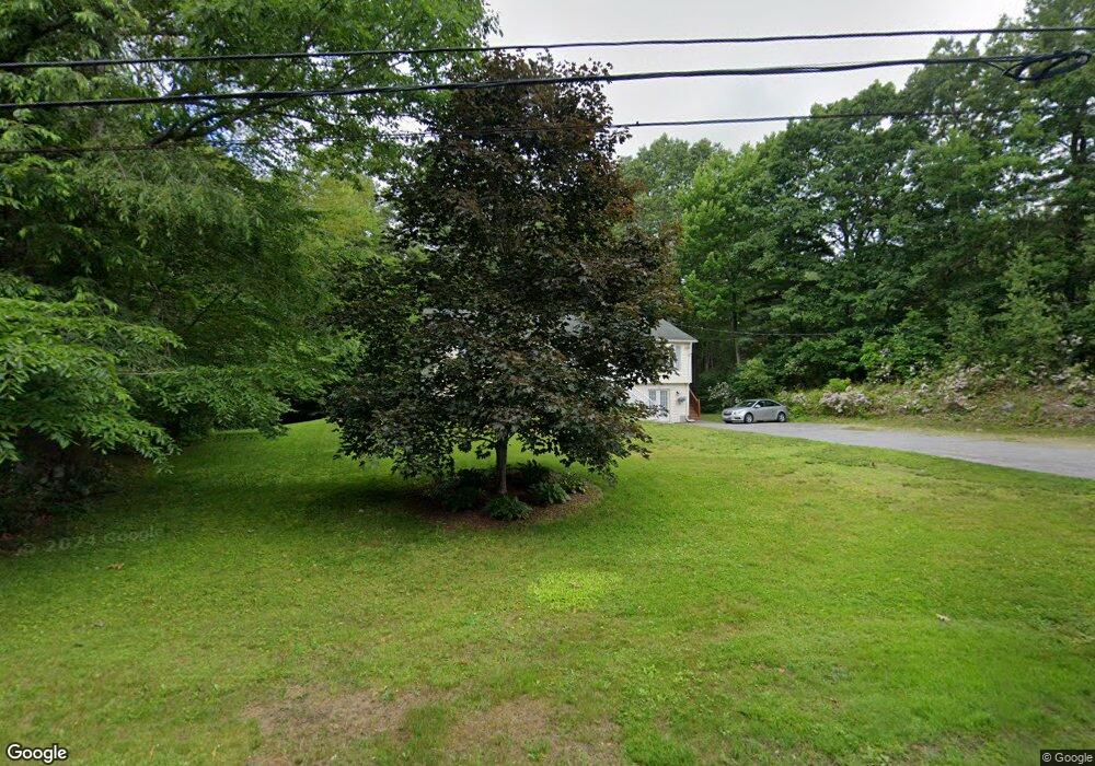
764 Stafford St Rochdale, MA 01542
Estimated Value: $462,868 - $535,000
3
Beds
2
Baths
2,284
Sq Ft
$218/Sq Ft
Est. Value
About This Home
This home is located at 764 Stafford St, Rochdale, MA 01542 and is currently estimated at $497,217, approximately $217 per square foot. 764 Stafford St is a home located in Worcester County with nearby schools including Leicester Integrated Preschool, Leicester Memorial Elementary School, and Leicester Middle School.
Ownership History
Date
Name
Owned For
Owner Type
Purchase Details
Closed on
Aug 26, 2011
Sold by
Smith Marie A
Bought by
Aldonis Randall and Aldonis Michelle
Current Estimated Value
Purchase Details
Closed on
Jun 26, 1998
Sold by
Soldi Karol L
Bought by
Smith Marie A and Aldonis Randall
Home Financials for this Owner
Home Financials are based on the most recent Mortgage that was taken out on this home.
Original Mortgage
$140,262
Interest Rate
7.09%
Mortgage Type
Purchase Money Mortgage
Create a Home Valuation Report for This Property
The Home Valuation Report is an in-depth analysis detailing your home's value as well as a comparison with similar homes in the area
Home Values in the Area
Average Home Value in this Area
Purchase History
| Date | Buyer | Sale Price | Title Company |
|---|---|---|---|
| Aldonis Randall | -- | -- | |
| Aldonis Randall | -- | -- | |
| Aldonis Randall | -- | -- | |
| Smith Marie A | $142,900 | -- | |
| Smith Marie A | $142,900 | -- |
Source: Public Records
Mortgage History
| Date | Status | Borrower | Loan Amount |
|---|---|---|---|
| Previous Owner | Smith Marie A | $103,856 | |
| Previous Owner | Smith Marie A | $134,100 | |
| Previous Owner | Smith Marie A | $140,262 |
Source: Public Records
Tax History Compared to Growth
Tax History
| Year | Tax Paid | Tax Assessment Tax Assessment Total Assessment is a certain percentage of the fair market value that is determined by local assessors to be the total taxable value of land and additions on the property. | Land | Improvement |
|---|---|---|---|---|
| 2025 | $47 | $401,100 | $70,400 | $330,700 |
| 2024 | $4,462 | $355,500 | $60,800 | $294,700 |
| 2023 | $4,234 | $329,200 | $60,800 | $268,400 |
| 2022 | $4,060 | $290,200 | $57,800 | $232,400 |
| 2021 | $4,261 | $281,600 | $57,800 | $223,800 |
| 2020 | $3,894 | $261,200 | $55,900 | $205,300 |
| 2019 | $3,784 | $250,900 | $50,300 | $200,600 |
| 2018 | $3,615 | $224,700 | $50,300 | $174,400 |
| 2017 | $3,478 | $224,700 | $50,300 | $174,400 |
| 2016 | $3,323 | $223,000 | $62,800 | $160,200 |
| 2015 | $3,242 | $223,000 | $62,800 | $160,200 |
Source: Public Records
Map
Nearby Homes
- 748-A Stafford St
- 6 Ryans Way Unit 6
- 19 Virginia Dr Unit 19
- 664 Stafford St
- 620 Henshaw St
- 285 Henshaw St
- 75 Huntoon Memorial Hwy Unit 1-2
- 3 Edward St Unit 3
- 10 Edward St
- 164 Peter Salem Rd
- Lot 2 Leicester St
- 1098 Stafford St Unit 9
- 2 Victor Ave
- 747-749 Pleasant St
- 473 Pleasant St
- 6 Brickyard Rd
- 381 Pleasant St
- 1-9 Helens Way
- 19 Laurelwood Ave
- 102 River St
- 762 Stafford St
- 767 Stafford St
- 768 Stafford St
- 768 Stafford St
- 763 Stafford St
- 769 Stafford St
- 773 Stafford St
- 761 Stafford St
- 760 Stafford St
- 772 Stafford St
- 759 Stafford St
- 776 Stafford St
- 757 Stafford St
- 777 Stafford St
- 752 Stafford St
- 750 Stafford St
- 753 Stafford St
- 781 Stafford St
- 748 Stafford St
- 845 Stafford St