764 SW Cedar St Pilot Rock, OR 97868
Estimated Value: $188,000 - $210,142
2
Beds
1
Bath
888
Sq Ft
$226/Sq Ft
Est. Value
About This Home
This home is located at 764 SW Cedar St, Pilot Rock, OR 97868 and is currently estimated at $200,786, approximately $226 per square foot. 764 SW Cedar St is a home located in Umatilla County with nearby schools including Pilot Rock Elementary School and Pilot Rock High School.
Ownership History
Date
Name
Owned For
Owner Type
Purchase Details
Closed on
Dec 11, 2017
Sold by
Burden Gary L and Burden Ronald W
Bought by
Burden Daniel and Jeppe Taylor
Current Estimated Value
Home Financials for this Owner
Home Financials are based on the most recent Mortgage that was taken out on this home.
Original Mortgage
$80,808
Outstanding Balance
$68,033
Interest Rate
3.94%
Mortgage Type
New Conventional
Estimated Equity
$132,753
Create a Home Valuation Report for This Property
The Home Valuation Report is an in-depth analysis detailing your home's value as well as a comparison with similar homes in the area
Home Values in the Area
Average Home Value in this Area
Purchase History
| Date | Buyer | Sale Price | Title Company |
|---|---|---|---|
| Burden Daniel | $80,000 | Amerititle |
Source: Public Records
Mortgage History
| Date | Status | Borrower | Loan Amount |
|---|---|---|---|
| Open | Burden Daniel | $80,808 |
Source: Public Records
Tax History Compared to Growth
Tax History
| Year | Tax Paid | Tax Assessment Tax Assessment Total Assessment is a certain percentage of the fair market value that is determined by local assessors to be the total taxable value of land and additions on the property. | Land | Improvement |
|---|---|---|---|---|
| 2024 | $1,961 | $113,610 | $28,690 | $84,920 |
| 2023 | $1,921 | $110,310 | $27,850 | $82,460 |
| 2022 | $1,825 | $107,100 | $0 | $0 |
| 2021 | $1,831 | $103,990 | $26,250 | $77,740 |
| 2020 | $1,667 | $100,970 | $25,490 | $75,480 |
| 2018 | $1,434 | $92,560 | $23,000 | $69,560 |
| 2017 | $1,155 | $95,180 | $24,020 | $71,160 |
| 2016 | $1,206 | $93,330 | $19,200 | $74,130 |
| 2015 | $1,187 | $85,430 | $17,570 | $67,860 |
| 2014 | $1,155 | $85,430 | $17,570 | $67,860 |
Source: Public Records
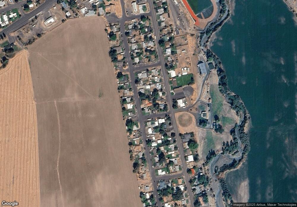
Map
Nearby Homes
- 261 SW 2nd St
- 520 NE 4th St
- 706 NE Gumwood St
- 44743 McKay Creek Rd
- 63615 E Birch Creek Ed
- 70349 Lakeside Rd
- 000 Motanic Rd
- 0000 County 1031 Rd
- 71539 SW Bridle Dr
- 72062 Westfield Blvd
- 904 SW 43rd St
- 4207 SW Sheridan Ave
- 0 Mckay Dr
- 1437 SW 40th St
- 1901 SW Runnion Ln
- 1914 SW 2nd Dr
- 1437 SW 37th St Unit 43
- 1328 SW 44th St
- 0 SW 2nd St Unit 263926795
- 0 SW Quinney Ln Unit 24414661
- 742 SW Cedar St
- 743 SW Cedar St
- 753 SW Cedar St
- 726 SW Cedar St
- 765 SW Cedar St
- 788 SW Cedar St
- 727 SW Cedar St
- 753 SW Birch St
- 765 SW Birch St
- 743 SW Birch St
- 789 SW Cedar St
- 789 SW Birch St
- 735 SW Birch St
- 702 SW Cedar St
- 703 SW Cedar St
- 802 SW Cedar St
- 803 SW Cedar St
- 811 SW Birch St
- 822 SW Cedar St
- 745 SW Birch St