764 W 560 S American Fork, UT 84003
Estimated Value: $414,000 - $450,000
3
Beds
3
Baths
1,615
Sq Ft
$266/Sq Ft
Est. Value
About This Home
This home is located at 764 W 560 S, American Fork, UT 84003 and is currently estimated at $429,939, approximately $266 per square foot. 764 W 560 S is a home located in Utah County with nearby schools including Greenwood Elementary School, American Fork Junior High School, and American Fork High School.
Ownership History
Date
Name
Owned For
Owner Type
Purchase Details
Closed on
May 15, 2025
Sold by
Loveridge Jordan Devaughn
Bought by
Loveridge Jordan Devaughn and Loveridge Kylie
Current Estimated Value
Home Financials for this Owner
Home Financials are based on the most recent Mortgage that was taken out on this home.
Original Mortgage
$432,030
Outstanding Balance
$430,497
Interest Rate
6.64%
Mortgage Type
New Conventional
Estimated Equity
-$558
Purchase Details
Closed on
May 14, 2025
Sold by
Woodside Homes Of Utah Llc
Bought by
Loveridge Jordan Devaughn
Home Financials for this Owner
Home Financials are based on the most recent Mortgage that was taken out on this home.
Original Mortgage
$432,030
Outstanding Balance
$430,497
Interest Rate
6.64%
Mortgage Type
New Conventional
Estimated Equity
-$558
Create a Home Valuation Report for This Property
The Home Valuation Report is an in-depth analysis detailing your home's value as well as a comparison with similar homes in the area
Home Values in the Area
Average Home Value in this Area
Purchase History
| Date | Buyer | Sale Price | Title Company |
|---|---|---|---|
| Loveridge Jordan Devaughn | -- | Us Title | |
| Loveridge Jordan Devaughn | -- | Us Title |
Source: Public Records
Mortgage History
| Date | Status | Borrower | Loan Amount |
|---|---|---|---|
| Open | Loveridge Jordan Devaughn | $432,030 |
Source: Public Records
Tax History Compared to Growth
Tax History
| Year | Tax Paid | Tax Assessment Tax Assessment Total Assessment is a certain percentage of the fair market value that is determined by local assessors to be the total taxable value of land and additions on the property. | Land | Improvement |
|---|---|---|---|---|
| 2025 | $853 | $124,575 | $33,300 | $193,200 |
| 2024 | $853 | $94,800 | $0 | $0 |
Source: Public Records
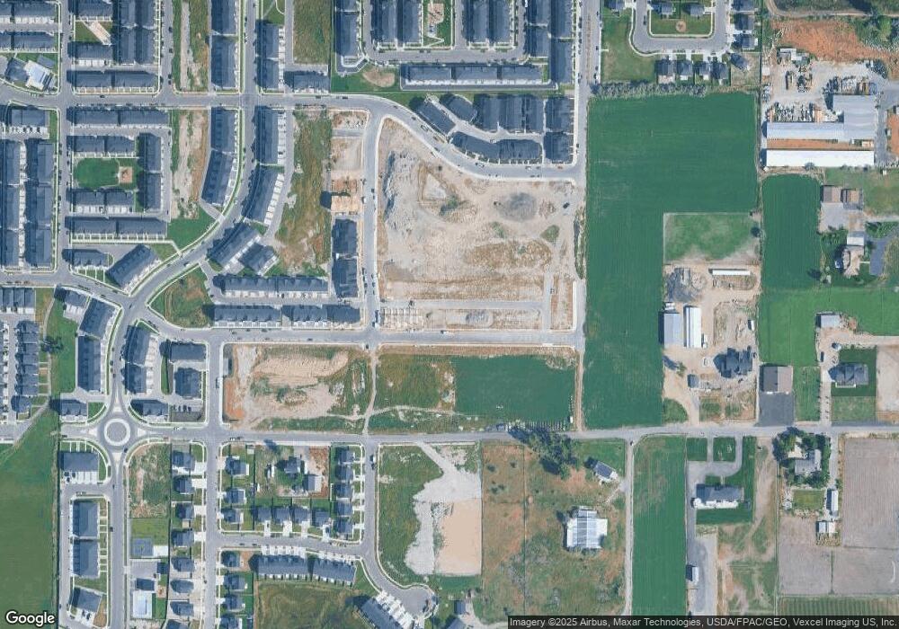
Map
Nearby Homes
- 775 W 540 S Unit 343
- 777 W 540 S Unit 342
- 777 W 540 S
- 769 W 540 S Unit 346
- 757 W 540 S
- 795 W 540 S
- 795 W 540 S Unit 338
- 798 W 520 S Unit 417
- 728 W 560 S Unit 366
- 733 W 540 S Unit 356
- 507 S 800 W Unit 410
- 505 S 800 W Unit 409
- 493 S 800 W Unit 403
- 491 S 800 W Unit 402
- 882 W 560 S
- 468 S 740 W
- 525 S 900 W
- Buchanan Plan at Meadowbrook - Legacy
- Highgrove Plan at Meadowbrook - Regency
- Madison Plan at Meadowbrook - Legacy
- 779 W 540 S Unit 340
- 793 W 540 S Unit 339
- 795 W 540 S Unit 388
- 728 W 560 S
- 812 W 560 S Unit 304
- 538 S 800 W Unit 305
- 536 S 800 W Unit 306
- 528 S 800 W Unit 309
- 526 S 800 W Unit 310
- 862 W 560 S Unit 207
- 516 S 800 W
- 864 W 560 S
- 864 W 540 S
- 866 W 560 S Unit 209
- 868 W 560 S
- 868 W 540 S
- 812 W 500 S Unit 322
- 874 W 540 S
- 752 W 480 S Unit 209
- 752 W 480 S