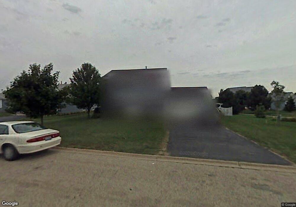
764 Walnut Ln Marengo, IL 60152
Estimated Value: $259,774 - $326,000
Studio
--
Bath
--
Sq Ft
9,409
Sq Ft Lot
About This Home
This home is located at 764 Walnut Ln, Marengo, IL 60152 and is currently estimated at $291,694. 764 Walnut Ln is a home located in McHenry County with nearby schools including Locust Elementary School, Marengo Community Middle School, and Marengo Community High School.
Ownership History
Date
Name
Owned For
Owner Type
Purchase Details
Closed on
Feb 22, 2002
Sold by
Schultz William J
Bought by
Simons Jeffrey D and Simons Ginny M
Current Estimated Value
Home Financials for this Owner
Home Financials are based on the most recent Mortgage that was taken out on this home.
Original Mortgage
$135,900
Outstanding Balance
$55,637
Interest Rate
6.92%
Estimated Equity
$236,057
Purchase Details
Closed on
Aug 1, 1996
Sold by
The Woodstone Company
Bought by
Schultz William J
Create a Home Valuation Report for This Property
The Home Valuation Report is an in-depth analysis detailing your home's value as well as a comparison with similar homes in the area
Home Values in the Area
Average Home Value in this Area
Purchase History
| Date | Buyer | Sale Price | Title Company |
|---|---|---|---|
| Simons Jeffrey D | $169,900 | -- | |
| Schultz William J | $131,500 | -- |
Source: Public Records
Mortgage History
| Date | Status | Borrower | Loan Amount |
|---|---|---|---|
| Open | Simons Jeffrey D | $135,900 |
Source: Public Records
Tax History
| Year | Tax Paid | Tax Assessment Tax Assessment Total Assessment is a certain percentage of the fair market value that is determined by local assessors to be the total taxable value of land and additions on the property. | Land | Improvement |
|---|---|---|---|---|
| 2024 | $4,996 | $73,835 | $15,211 | $58,624 |
| 2023 | $4,828 | $65,087 | $13,409 | $51,678 |
| 2022 | $4,742 | $58,860 | $12,126 | $46,734 |
| 2021 | $4,389 | $53,631 | $11,049 | $42,582 |
| 2020 | $4,301 | $51,038 | $10,515 | $40,523 |
| 2019 | $4,533 | $48,359 | $9,963 | $38,396 |
| 2018 | $4,188 | $45,297 | $9,332 | $35,965 |
| 2017 | $4,036 | $42,907 | $8,840 | $34,067 |
| 2016 | $3,882 | $40,088 | $8,259 | $31,829 |
| 2013 | -- | $39,222 | $8,080 | $31,142 |
Source: Public Records
Map
Nearby Homes
- 915 Beaver Pond Dr
- 790 Cascade Dr
- 819 Whitetail Dr
- 817 Whitetail Dr
- 567 7th Cir
- 726 Jackson St
- 350 8th Ave
- 906 N State St
- 304 W Van Buren St
- 0 Deerpass Rd
- 214 S Prospect St
- 422 Damen St
- 436 W Washington St
- 00 Maple St
- 704 Echo (Lot 21) Trail
- 806 Echo (Lot 22) Trail
- 802 Echo (Lot 23) Trail
- 737 E Grant Hwy
- 0 Maple St
- 10 ac U S 20
- 754 Walnut Ln
- 934 Cottonwood Ln
- 914 Cottonwood Ln
- 954 Cottonwood Ln
- 744 Walnut Ln
- 761 Chestnut Ln
- 753 Walnut Ln
- 763 Walnut Ln
- 773 Walnut Ln
- 771 Chestnut Ln
- 751 Chestnut Ln
- 734 Walnut Ln
- 743 Walnut Ln
- 810 Cottonwood Ln
- 741 Chestnut Ln
- 801 Chestnut Ct Unit 2A
- 733 Walnut Ln
- 911 Cottonwood Ln
- 731 Chestnut Ln
Your Personal Tour Guide
Ask me questions while you tour the home.