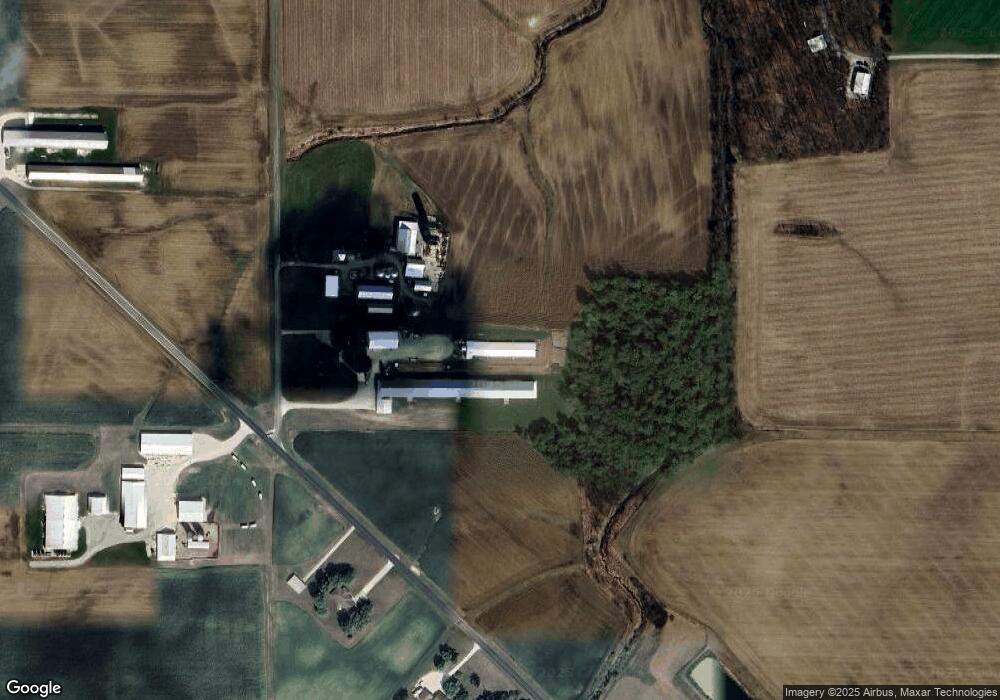
764 Wourms Rd Fort Recovery, OH 45846
Estimated Value: $300,000 - $557,275
3
Beds
2
Baths
1,840
Sq Ft
$242/Sq Ft
Est. Value
About This Home
This home is located at 764 Wourms Rd, Fort Recovery, OH 45846 and is currently estimated at $444,569, approximately $241 per square foot. 764 Wourms Rd is a home located in Mercer County with nearby schools including Fort Recovery Elementary School, Fort Recovery Middle School, and Fort Recovery High School.
Ownership History
Date
Name
Owned For
Owner Type
Purchase Details
Closed on
Jun 17, 2011
Sold by
Stammen Kenneth L and Stammen Patricia R
Bought by
Stammen Timothy J and Stammen Sarah L
Current Estimated Value
Home Financials for this Owner
Home Financials are based on the most recent Mortgage that was taken out on this home.
Original Mortgage
$180,000
Interest Rate
4.67%
Mortgage Type
New Conventional
Purchase Details
Closed on
Feb 11, 2009
Sold by
Stammen Kenneth L and Stammen Patricia R
Bought by
Stammen Timothy J and Stammen Sarah L
Create a Home Valuation Report for This Property
The Home Valuation Report is an in-depth analysis detailing your home's value as well as a comparison with similar homes in the area
Home Values in the Area
Average Home Value in this Area
Purchase History
| Date | Buyer | Sale Price | Title Company |
|---|---|---|---|
| Stammen Timothy J | $225,000 | Attorney | |
| Stammen Timothy J | -- | Attorney |
Source: Public Records
Mortgage History
| Date | Status | Borrower | Loan Amount |
|---|---|---|---|
| Closed | Stammen Timothy J | $180,000 |
Source: Public Records
Tax History Compared to Growth
Tax History
| Year | Tax Paid | Tax Assessment Tax Assessment Total Assessment is a certain percentage of the fair market value that is determined by local assessors to be the total taxable value of land and additions on the property. | Land | Improvement |
|---|---|---|---|---|
| 2024 | $4,889 | $172,450 | $22,610 | $149,840 |
| 2023 | $4,889 | $172,450 | $22,610 | $149,840 |
| 2022 | $4,451 | $140,600 | $18,520 | $122,080 |
| 2021 | $4,465 | $140,600 | $18,520 | $122,080 |
| 2020 | $4,457 | $140,600 | $18,520 | $122,080 |
| 2019 | $4,050 | $122,820 | $16,380 | $106,440 |
| 2018 | $4,198 | $122,820 | $16,380 | $106,440 |
| 2017 | $4,229 | $122,820 | $16,380 | $106,440 |
| 2016 | $4,255 | $126,640 | $16,840 | $109,800 |
| 2015 | $4,086 | $126,640 | $16,840 | $109,800 |
| 2014 | $2,697 | $82,750 | $16,840 | $65,910 |
| 2013 | $2,675 | $78,020 | $15,860 | $62,160 |
Source: Public Records
Map
Nearby Homes
- 201 W Wiggs St
- 304 S Wayne St
- 4475 Ohio 705
- 4543 Lange Rd
- 0 Ohio 118
- 3709 Rossburg-Lightsville Rd
- 1291 State Route 219
- 420 S 1st St
- 820 Mary Ln
- 401 N Cedar St
- 21 E Star Rd
- 821 Butler St
- 426 E Walnut St
- 912 Emerald Ave
- 63 Cassella-Montezuma Rd
- 45 Cassella Montezuma Rd
- 314 E North St
- 402 E Elizabeth St
- 501 N 2nd St
- 1024 Coletta Ct
- 800 Wourms Rd
- 761 Wourms Rd
- 2244 Sharpsburg Rd
- 2282 Sharpsburg Rd
- 2355 Sharpsburg Rd
- 2352 Sharpsburg Rd
- 875 Meiring Rd
- 859 Meiring Rd
- 770 Meiring Rd
- 871 Meiring Rd
- 2105 Sharpsburg Rd
- 2431 Sharpsburg Rd
- 2221 Watkins Rd
- 2439 Sharpsburg Rd
- 2225 Watkins Rd
- 944 Meiring Rd
- 2265 Watkins Rd
- 2239 Watkins Rd
- 2241 Fox Rd
- 2449 Sharpsburg Rd
